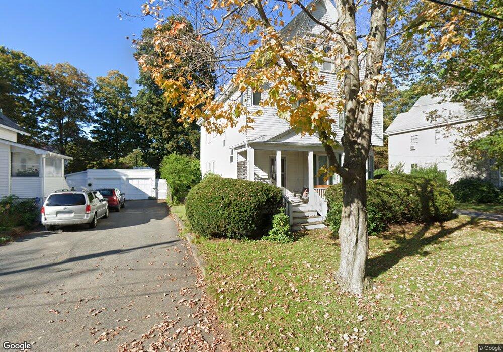
10 Bradford Ave Foxboro, MA 02035
Estimated Value: $597,553 - $702,000
3
Beds
2
Baths
2,053
Sq Ft
$317/Sq Ft
Est. Value
About This Home
This home is located at 10 Bradford Ave, Foxboro, MA 02035 and is currently estimated at $649,888, approximately $316 per square foot. 10 Bradford Ave is a home located in Norfolk County with nearby schools including Foxborough High School, Foxborough Regional Charter School, and The Sage School.
Ownership History
Date
Name
Owned For
Owner Type
Purchase Details
Closed on
Dec 30, 2003
Sold by
Smith Brian C and Smith Sandra J
Bought by
Bachrach David and Bachrach Anita
Current Estimated Value
Home Financials for this Owner
Home Financials are based on the most recent Mortgage that was taken out on this home.
Original Mortgage
$297,000
Outstanding Balance
$139,954
Interest Rate
6.01%
Mortgage Type
Purchase Money Mortgage
Estimated Equity
$509,934
Create a Home Valuation Report for This Property
The Home Valuation Report is an in-depth analysis detailing your home's value as well as a comparison with similar homes in the area
Home Values in the Area
Average Home Value in this Area
Purchase History
| Date | Buyer | Sale Price | Title Company |
|---|---|---|---|
| Bachrach David | $330,000 | -- |
Source: Public Records
Mortgage History
| Date | Status | Borrower | Loan Amount |
|---|---|---|---|
| Open | Bachrach David | $297,000 |
Source: Public Records
Tax History Compared to Growth
Tax History
| Year | Tax Paid | Tax Assessment Tax Assessment Total Assessment is a certain percentage of the fair market value that is determined by local assessors to be the total taxable value of land and additions on the property. | Land | Improvement |
|---|---|---|---|---|
| 2025 | $5,591 | $422,900 | $206,700 | $216,200 |
| 2024 | $5,519 | $408,500 | $206,700 | $201,800 |
| 2023 | $5,404 | $380,300 | $196,900 | $183,400 |
| 2022 | $5,368 | $369,700 | $188,400 | $181,300 |
| 2021 | $5,174 | $351,000 | $171,300 | $179,700 |
| 2020 | $5,114 | $351,000 | $171,300 | $179,700 |
| 2019 | $4,925 | $335,000 | $163,100 | $171,900 |
| 2018 | $4,606 | $316,100 | $163,100 | $153,000 |
| 2017 | $4,310 | $286,600 | $152,500 | $134,100 |
| 2016 | $4,207 | $283,900 | $146,700 | $137,200 |
| 2015 | $4,112 | $270,700 | $124,000 | $146,700 |
| 2014 | $4,020 | $268,200 | $121,500 | $146,700 |
Source: Public Records
Map
Nearby Homes
- 12 Bradford Ave
- 12 Bradford Ave Unit 2
- 4 Bradford Ave
- 14 Bradford Ave
- 11 Bradford Ave
- 11 Bradford Ave Unit B
- 11 Bradford Ave Unit A
- 2 Bradford Ave
- 63 Neponset Ave
- 9 Bradford Ave
- 3 Bradford Ave
- 59 Neponset Ave
- 16 Bradford Ave
- 57 Neponset Ave
- 15 Bradford Ave
- 8 Pond Ave
- 55 Neponset Ave
- 6 Pond Ave
- 4 Pond Ave
- 16 Pond Ave