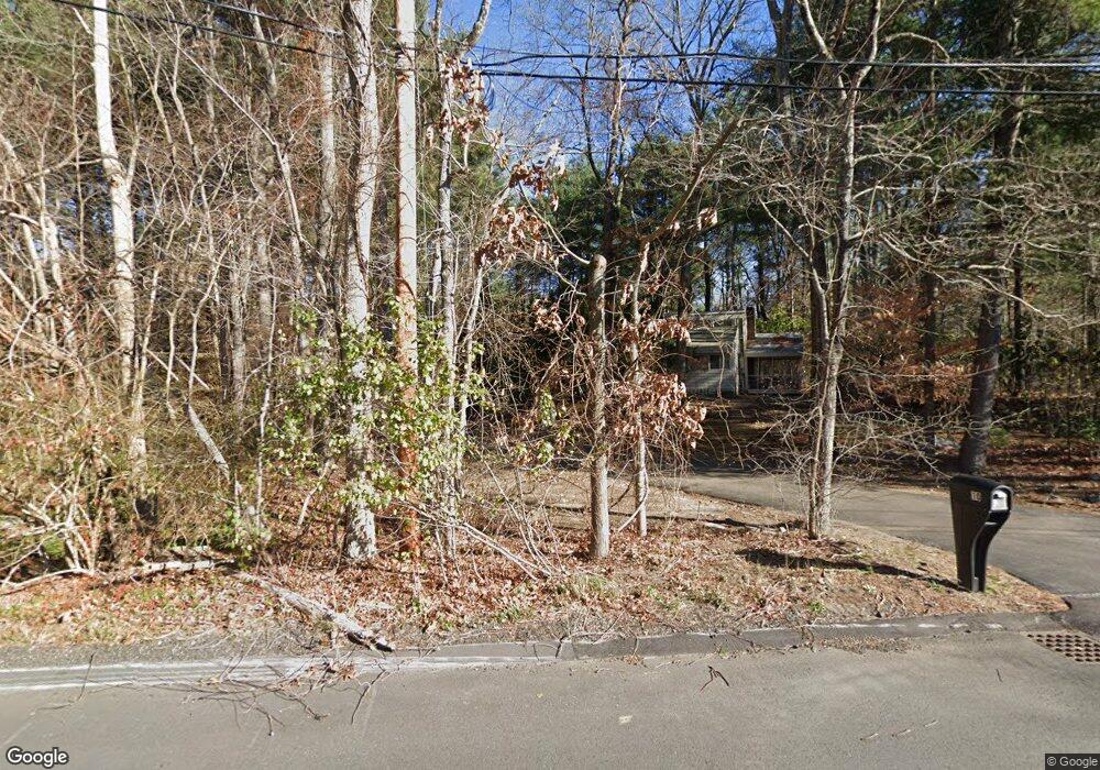
10 Brewster Rd Wayland, MA 01778
Estimated Value: $1,507,047 - $1,750,000
5
Beds
5
Baths
3,575
Sq Ft
$450/Sq Ft
Est. Value
About This Home
This home is located at 10 Brewster Rd, Wayland, MA 01778 and is currently estimated at $1,609,012, approximately $450 per square foot. 10 Brewster Rd is a home located in Middlesex County with nearby schools including Wayland High School, Veritas Christian Academy, and The Rivers School.
Create a Home Valuation Report for This Property
The Home Valuation Report is an in-depth analysis detailing your home's value as well as a comparison with similar homes in the area
Home Values in the Area
Average Home Value in this Area
Tax History Compared to Growth
Tax History
| Year | Tax Paid | Tax Assessment Tax Assessment Total Assessment is a certain percentage of the fair market value that is determined by local assessors to be the total taxable value of land and additions on the property. | Land | Improvement |
|---|---|---|---|---|
| 2025 | $20,228 | $1,294,200 | $712,100 | $582,100 |
| 2024 | $19,149 | $1,233,800 | $678,300 | $555,500 |
| 2023 | $18,183 | $1,092,100 | $619,300 | $472,800 |
| 2022 | $17,862 | $973,400 | $518,300 | $455,100 |
| 2021 | $17,211 | $929,300 | $474,200 | $455,100 |
| 2020 | $16,346 | $920,400 | $474,200 | $446,200 |
| 2019 | $16,225 | $887,600 | $453,200 | $434,400 |
| 2018 | $0 | $837,500 | $453,200 | $384,300 |
| 2017 | $14,501 | $799,400 | $438,500 | $360,900 |
| 2016 | $14,364 | $828,400 | $447,600 | $380,800 |
| 2015 | $14,843 | $807,100 | $447,600 | $359,500 |
Source: Public Records
Map
Nearby Homes