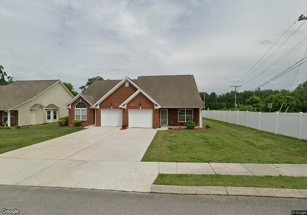
10 Briarstone Dr Rossville, GA 30741
Westside NeighborhoodEstimated Value: $258,302 - $293,000
--
Bed
2
Baths
1,344
Sq Ft
$201/Sq Ft
Est. Value
About This Home
This home is located at 10 Briarstone Dr, Rossville, GA 30741 and is currently estimated at $269,576, approximately $200 per square foot. 10 Briarstone Dr is a home located in Catoosa County with nearby schools including West Side Elementary School, Lakeview Middle School, and Lakeview-Fort Oglethorpe High School.
Ownership History
Date
Name
Owned For
Owner Type
Purchase Details
Closed on
Apr 8, 2019
Sold by
Hunt Gloria B
Bought by
Camp Donna
Current Estimated Value
Home Financials for this Owner
Home Financials are based on the most recent Mortgage that was taken out on this home.
Original Mortgage
$138,035
Outstanding Balance
$121,602
Interest Rate
4.4%
Mortgage Type
New Conventional
Estimated Equity
$147,974
Purchase Details
Closed on
Dec 21, 2006
Sold by
Not Provided
Bought by
Barnes Doris L and Hunt Gloria B
Create a Home Valuation Report for This Property
The Home Valuation Report is an in-depth analysis detailing your home's value as well as a comparison with similar homes in the area
Home Values in the Area
Average Home Value in this Area
Purchase History
| Date | Buyer | Sale Price | Title Company |
|---|---|---|---|
| Camp Donna | $145,300 | -- | |
| Barnes Doris L | -- | -- |
Source: Public Records
Mortgage History
| Date | Status | Borrower | Loan Amount |
|---|---|---|---|
| Open | Camp Donna | $138,035 |
Source: Public Records
Tax History Compared to Growth
Tax History
| Year | Tax Paid | Tax Assessment Tax Assessment Total Assessment is a certain percentage of the fair market value that is determined by local assessors to be the total taxable value of land and additions on the property. | Land | Improvement |
|---|---|---|---|---|
| 2024 | -- | $105,357 | $10,000 | $95,357 |
| 2023 | $0 | $80,646 | $10,000 | $70,646 |
| 2022 | $1,776 | $63,222 | $10,000 | $53,222 |
| 2021 | $1,867 | $63,222 | $10,000 | $53,222 |
| 2020 | $1,540 | $52,172 | $6,000 | $46,172 |
| 2019 | $1,635 | $52,172 | $6,000 | $46,172 |
| 2018 | $1,590 | $50,744 | $6,000 | $44,744 |
| 2017 | $1,547 | $49,354 | $6,000 | $43,354 |
Source: Public Records
Map
Nearby Homes
- 57 Country Cove Dr
- 288 Briarstone Dr
- 83 Daybreak Dr
- 85 Daybreak Dr
- 44 Sunset Cove Dr
- 27 May St
- 1703 Applebrook Dr
- 97 Morning Mist Dr
- 14 Sunset Cove Dr
- 2204 Applebrook Dr
- 211 Idle Place Cir
- 792 S MacK Smith Rd
- 164 Idle Place Cir
- 146 Idle Place Cir
- 283 Idle Place Cir
- 372 Idle Place Cir
- 89 Idle Place Cir
- 81 Idle Place Cir
- 396 Idle Place Cir
- 378 Idle Place Cir
- 10 Briarstone Dr
- 28 Briarstone Dr
- 36 Briarstone Dr
- 1245 Steele Rd
- 9 Briarstone Dr
- 17 Briarstone Dr
- 44 Briarstone Dr
- 27 Briarstone Dr
- 33 Briarstone Dr
- 52 Briarstone Dr
- 43 Briarstone Dr
- 1181 MacK Smith Rd
- 60 Briarstone Dr
- 51 Briarstone Dr
- 25 Country Cove Dr
- 1199 MacK Smith Rd
- 1161 Steele Rd
- 59 Briarstone Dr
- 68 Briarstone Dr
- 35 Country Cove Dr