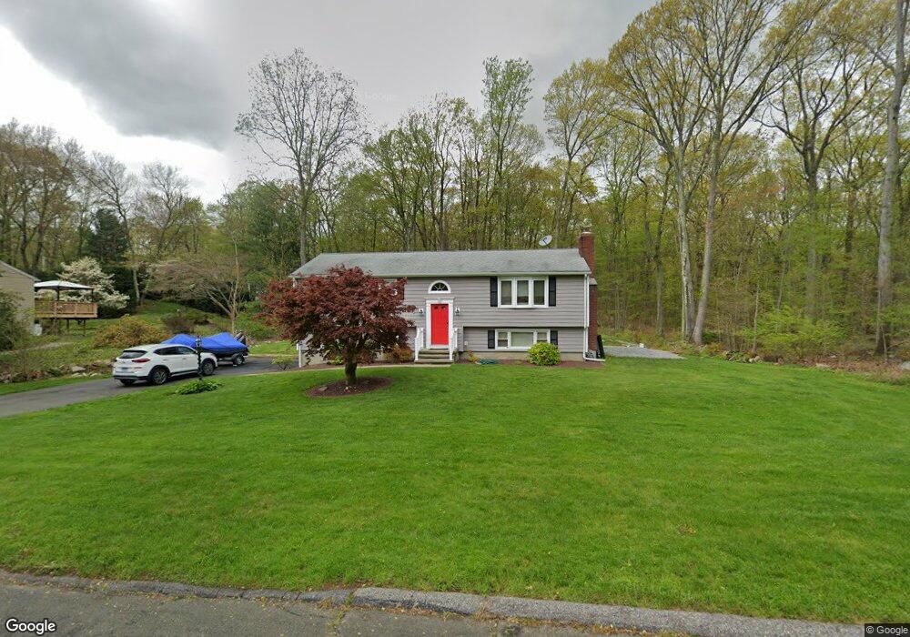
10 Bristol Dr Shelton, CT 06484
Estimated Value: $535,000 - $575,000
3
Beds
2
Baths
1,152
Sq Ft
$482/Sq Ft
Est. Value
About This Home
This home is located at 10 Bristol Dr, Shelton, CT 06484 and is currently estimated at $554,689, approximately $481 per square foot. 10 Bristol Dr is a home located in Fairfield County with nearby schools including Perry Hill School, Shelton Intermediate School, and Shelton High School.
Ownership History
Date
Name
Owned For
Owner Type
Purchase Details
Closed on
Jan 16, 2020
Sold by
Cowell Christine
Bought by
Cowell Robert
Current Estimated Value
Purchase Details
Closed on
May 27, 1992
Sold by
Magnani Guy and Magnani Eloise
Bought by
Cowell Robert and Cowell Christine
Create a Home Valuation Report for This Property
The Home Valuation Report is an in-depth analysis detailing your home's value as well as a comparison with similar homes in the area
Home Values in the Area
Average Home Value in this Area
Purchase History
| Date | Buyer | Sale Price | Title Company |
|---|---|---|---|
| Cowell Robert | -- | None Available | |
| Cowell Robert | -- | None Available | |
| Cowell Robert | $167,500 | -- |
Source: Public Records
Mortgage History
| Date | Status | Borrower | Loan Amount |
|---|---|---|---|
| Previous Owner | Cowell Robert | $75,000 | |
| Previous Owner | Cowell Robert | $25,000 | |
| Previous Owner | Cowell Robert | $150,000 | |
| Previous Owner | Cowell Robert | $120,000 |
Source: Public Records
Tax History Compared to Growth
Tax History
| Year | Tax Paid | Tax Assessment Tax Assessment Total Assessment is a certain percentage of the fair market value that is determined by local assessors to be the total taxable value of land and additions on the property. | Land | Improvement |
|---|---|---|---|---|
| 2025 | $4,818 | $255,990 | $96,390 | $159,600 |
| 2024 | $4,910 | $255,990 | $96,390 | $159,600 |
| 2023 | $4,472 | $255,990 | $96,390 | $159,600 |
| 2022 | $4,472 | $255,990 | $96,390 | $159,600 |
| 2021 | $3,728 | $169,210 | $48,090 | $121,120 |
| 2020 | $3,794 | $169,210 | $48,090 | $121,120 |
| 2019 | $3,794 | $169,210 | $48,090 | $121,120 |
| 2017 | $3,790 | $170,660 | $48,090 | $122,570 |
| 2015 | $4,149 | $185,990 | $55,160 | $130,830 |
| 2014 | $4,149 | $185,990 | $55,160 | $130,830 |
Source: Public Records
Map
Nearby Homes
- 61 Basking Brook Ln
- 39 L Hermitage Dr Unit 39
- 58 Kings Hwy
- 2 Greystone Unit 2
- 41 Ridgewood Ct
- 76 Cedarcrest Ct Unit 76
- 27 Meadow Lake Dr
- 2 Laurel Ln
- 61 Country Walk Unit 61
- 10 Colonial Village
- 2 Congress Ave
- 56 Wakelee Avenue Extension Unit 53
- 10 Beardsley St
- 25 Gilbert St
- 44 Ridge Ln
- 6 Stonegate Ln
- 93 Shelton Ave
- 16 Willoughby Rd
- 43 1/2 Willoughby Rd
- 125 Oak Ave