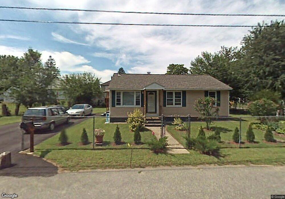
10 Broadway St Clinton, MA 01510
Estimated Value: $294,000 - $437,000
2
Beds
1
Bath
864
Sq Ft
$418/Sq Ft
Est. Value
About This Home
This home is located at 10 Broadway St, Clinton, MA 01510 and is currently estimated at $361,433, approximately $418 per square foot. 10 Broadway St is a home located in Worcester County with nearby schools including Clinton Elementary School, Clinton Senior High School, and Clinton Middle School.
Ownership History
Date
Name
Owned For
Owner Type
Purchase Details
Closed on
Apr 7, 1998
Sold by
Argo Mtg Corp
Bought by
Melendez Angel S and Melendez Iris N
Current Estimated Value
Home Financials for this Owner
Home Financials are based on the most recent Mortgage that was taken out on this home.
Original Mortgage
$49,500
Outstanding Balance
$9,224
Interest Rate
6.89%
Mortgage Type
Purchase Money Mortgage
Estimated Equity
$352,209
Purchase Details
Closed on
Mar 17, 1997
Sold by
Tackitt Rebecca M
Bought by
Argo Mtg Corp
Create a Home Valuation Report for This Property
The Home Valuation Report is an in-depth analysis detailing your home's value as well as a comparison with similar homes in the area
Home Values in the Area
Average Home Value in this Area
Purchase History
| Date | Buyer | Sale Price | Title Company |
|---|---|---|---|
| Melendez Angel S | $69,500 | -- | |
| Argo Mtg Corp | $67,000 | -- |
Source: Public Records
Mortgage History
| Date | Status | Borrower | Loan Amount |
|---|---|---|---|
| Open | Argo Mtg Corp | $49,500 | |
| Previous Owner | Argo Mtg Corp | $48,683 |
Source: Public Records
Tax History Compared to Growth
Tax History
| Year | Tax Paid | Tax Assessment Tax Assessment Total Assessment is a certain percentage of the fair market value that is determined by local assessors to be the total taxable value of land and additions on the property. | Land | Improvement |
|---|---|---|---|---|
| 2025 | $4,124 | $310,100 | $114,000 | $196,100 |
| 2024 | $3,762 | $286,300 | $114,000 | $172,300 |
| 2023 | $3,511 | $262,600 | $103,700 | $158,900 |
| 2022 | $3,561 | $238,800 | $94,200 | $144,600 |
| 2021 | $3,553 | $222,900 | $89,800 | $133,100 |
| 2020 | $3,453 | $222,900 | $89,800 | $133,100 |
| 2019 | $3,294 | $206,800 | $87,100 | $119,700 |
| 2018 | $3,146 | $185,300 | $87,100 | $98,200 |
| 2017 | $2,969 | $168,000 | $87,100 | $80,900 |
| 2016 | $2,843 | $164,600 | $87,100 | $77,500 |
| 2015 | $2,581 | $154,900 | $84,600 | $70,300 |
| 2014 | $2,502 | $154,900 | $84,600 | $70,300 |
Source: Public Records
Map
Nearby Homes
- 19 Magnolia Ave
- 22 Forest Ave
- 1 Grady St
- 51 Rigby St
- 0 Parker Rd
- 201-203 Stone St
- 201 Stone St Unit 203
- 55 Sterling St Unit 306
- 55 Sterling St Unit 314
- 55 Sterling St Unit 212
- 57 Clark St
- 54 S Meadow Rd
- 459 High St
- 290 Sterling St
- 23 Ash St
- 216 Walnut St
- 1116 George Hill Rd
- 92 Mill St
- 136 Mill St
- 23 Bennett Ln
- 243 Greeley St
- 245 Greeley St
- 45 Broadway St
- 14 Broadway St
- 249 Greeley St
- 235 Greeley St
- 25 Broadway St
- 2 Longedge Rd
- 227 Greeley St
- 277 Greeley St
- 277 Greeley St Unit 2
- 277 Greeley St Unit 1
- 250 Greeley St
- 242 Greeley St
- 260 Greeley St
- 228 Greeley St
- 4 Longedge Rd
- 270 Greeley St
- 20 Dewey St
- 293 Greeley St