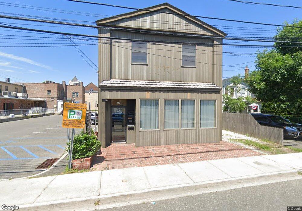
10 Brower Ave Woodmere, NY 11598
Estimated Value: $1,891,995
--
Bed
--
Bath
1,300
Sq Ft
$1,455/Sq Ft
Est. Value
About This Home
This home is located at 10 Brower Ave, Woodmere, NY 11598 and is currently estimated at $1,891,995, approximately $1,455 per square foot. 10 Brower Ave is a home located in Nassau County with nearby schools including George W Hewlett High School, Shulamith High School for Girls, and Shulamith School.
Ownership History
Date
Name
Owned For
Owner Type
Purchase Details
Closed on
Sep 29, 2022
Sold by
Reiss Joseph and Reiss Brenda
Bought by
Westwood Brower Llc
Current Estimated Value
Home Financials for this Owner
Home Financials are based on the most recent Mortgage that was taken out on this home.
Original Mortgage
$800,000
Outstanding Balance
$767,126
Interest Rate
5.55%
Mortgage Type
Purchase Money Mortgage
Estimated Equity
$1,124,869
Purchase Details
Closed on
Mar 22, 2004
Sold by
Preger Henya
Purchase Details
Closed on
Jul 30, 2002
Sold by
Blumenthal R
Bought by
Preger Henya
Create a Home Valuation Report for This Property
The Home Valuation Report is an in-depth analysis detailing your home's value as well as a comparison with similar homes in the area
Home Values in the Area
Average Home Value in this Area
Purchase History
| Date | Buyer | Sale Price | Title Company |
|---|---|---|---|
| Westwood Brower Llc | $1,510,000 | Riverside Abstract Llc | |
| -- | -- | -- | |
| Preger Henya | $435,000 | -- |
Source: Public Records
Mortgage History
| Date | Status | Borrower | Loan Amount |
|---|---|---|---|
| Open | Westwood Brower Llc | $800,000 |
Source: Public Records
Tax History Compared to Growth
Tax History
| Year | Tax Paid | Tax Assessment Tax Assessment Total Assessment is a certain percentage of the fair market value that is determined by local assessors to be the total taxable value of land and additions on the property. | Land | Improvement |
|---|---|---|---|---|
| 2025 | $19,473 | $2,821 | $717 | $2,104 |
| 2024 | $7,444 | $2,821 | $717 | $2,104 |
| 2023 | $18,632 | $2,821 | $717 | $2,104 |
| 2022 | $18,632 | $2,821 | $717 | $2,104 |
| 2021 | $17,855 | $3,051 | $717 | $2,334 |
| 2020 | $8,748 | $1,755 | $691 | $1,064 |
| 2019 | $16,229 | $1,755 | $691 | $1,064 |
| 2018 | $15,585 | $1,755 | $0 | $0 |
| 2017 | $9,706 | $1,755 | $691 | $1,064 |
| 2016 | $15,564 | $1,755 | $691 | $1,064 |
| 2015 | $4,988 | $1,755 | $691 | $1,064 |
| 2014 | $4,988 | $1,755 | $691 | $1,064 |
| 2013 | $4,699 | $1,755 | $691 | $1,064 |
Source: Public Records
Map
Nearby Homes
- 49 Centre St
- 58 Centre St
- 980 Singleton Ave
- 978 Singleton Ave
- 76 Carman Ave
- 1095 Lynn Place
- 1028 E Broadway
- 998 E Broadway
- 22 Willow Rd
- 122 Finucane Place
- 141 Woodmere Blvd Unit 6E
- 141 Woodmere Blvd Unit 3H
- 141 Woodmere Blvd Unit 5C
- 141 Woodmere Blvd Unit 6-C
- 141 Woodmere Blvd Unit 6-J
- 141 Wyckoff Place Unit 1F
- 141 Wyckoff Place Unit 2E
- 101 Harold Rd
- 106 Willow Rd
- 819 Broadway Unit 1-G