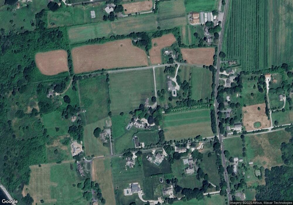
10 Brown Point Ln Little Compton, RI 02837
Estimated Value: $2,279,000 - $3,827,000
Studio
2
Baths
--
Sq Ft
210,395
Sq Ft Lot
About This Home
This home is located at 10 Brown Point Ln, Little Compton, RI 02837 and is currently estimated at $3,254,892. 10 Brown Point Ln is a home located in Newport County with nearby schools including Wilbur & McMahon School.
Ownership History
Date
Name
Owned For
Owner Type
Purchase Details
Closed on
Jun 6, 2006
Sold by
Reynolds Rosalyn
Bought by
Small Richard and Small Mary
Current Estimated Value
Home Financials for this Owner
Home Financials are based on the most recent Mortgage that was taken out on this home.
Original Mortgage
$1,320,000
Interest Rate
6.55%
Mortgage Type
Purchase Money Mortgage
Create a Home Valuation Report for This Property
The Home Valuation Report is an in-depth analysis detailing your home's value as well as a comparison with similar homes in the area
Home Values in the Area
Average Home Value in this Area
Purchase History
| Date | Buyer | Sale Price | Title Company |
|---|---|---|---|
| Small Richard | $1,875,000 | -- |
Source: Public Records
Mortgage History
| Date | Status | Borrower | Loan Amount |
|---|---|---|---|
| Open | Small Richard | $1,000,000 | |
| Closed | Small Richard | $1,000,000 | |
| Closed | Small Richard | $1,320,000 |
Source: Public Records
Tax History
| Year | Tax Paid | Tax Assessment Tax Assessment Total Assessment is a certain percentage of the fair market value that is determined by local assessors to be the total taxable value of land and additions on the property. | Land | Improvement |
|---|---|---|---|---|
| 2025 | $12,282 | $2,564,100 | $2,564,100 | $0 |
| 2024 | $11,339 | $2,232,000 | $2,232,000 | $0 |
| 2023 | $11,071 | $2,232,000 | $2,232,000 | $0 |
| 2022 | $10,937 | $2,232,000 | $2,232,000 | $0 |
| 2021 | $10,709 | $1,773,000 | $1,773,000 | $0 |
| 2020 | $10,620 | $1,773,000 | $1,773,000 | $0 |
| 2019 | $10,514 | $1,773,000 | $1,773,000 | $0 |
| 2018 | $10,567 | $1,773,000 | $1,773,000 | $0 |
| 2016 | $10,053 | $1,773,000 | $1,773,000 | $0 |
| 2015 | $8,526 | $1,482,700 | $1,482,700 | $0 |
| 2014 | $8,362 | $1,482,700 | $1,482,700 | $0 |
Source: Public Records
Map
Nearby Homes
Your Personal Tour Guide
Ask me questions while you tour the home.