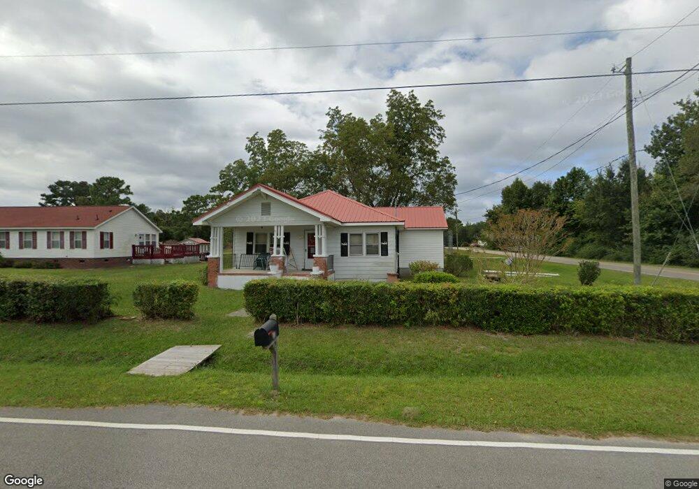
10 Browntown Rd Hampstead, NC 28443
Estimated Value: $179,851 - $551,000
3
Beds
1
Bath
1,240
Sq Ft
$287/Sq Ft
Est. Value
About This Home
This home is located at 10 Browntown Rd, Hampstead, NC 28443 and is currently estimated at $355,713, approximately $286 per square foot. 10 Browntown Rd is a home located in Pender County with nearby schools including South Topsail Elementary School, Topsail Middle School, and Topsail High School.
Ownership History
Date
Name
Owned For
Owner Type
Purchase Details
Closed on
Jul 2, 1985
Bought by
Mclaurin Dorothy Brown
Current Estimated Value
Create a Home Valuation Report for This Property
The Home Valuation Report is an in-depth analysis detailing your home's value as well as a comparison with similar homes in the area
Home Values in the Area
Average Home Value in this Area
Purchase History
| Date | Buyer | Sale Price | Title Company |
|---|---|---|---|
| Mclaurin Dorothy Brown | $4,000 | -- |
Source: Public Records
Tax History Compared to Growth
Tax History
| Year | Tax Paid | Tax Assessment Tax Assessment Total Assessment is a certain percentage of the fair market value that is determined by local assessors to be the total taxable value of land and additions on the property. | Land | Improvement |
|---|---|---|---|---|
| 2024 | $759 | $60,382 | $30,768 | $29,614 |
| 2023 | $759 | $60,382 | $30,768 | $29,614 |
| 2022 | $723 | $60,382 | $30,768 | $29,614 |
| 2021 | $723 | $60,382 | $30,768 | $29,614 |
| 2020 | $801 | $69,841 | $36,105 | $33,736 |
| 2019 | $664 | $53,354 | $36,105 | $17,249 |
| 2018 | $742 | $59,822 | $31,239 | $28,583 |
| 2017 | $742 | $59,822 | $31,239 | $28,583 |
| 2016 | $736 | $59,822 | $31,239 | $28,583 |
| 2015 | $701 | $59,822 | $31,239 | $28,583 |
| 2014 | $574 | $59,822 | $31,239 | $28,583 |
| 2013 | -- | $59,822 | $31,239 | $28,583 |
| 2012 | -- | $59,822 | $31,239 | $28,583 |
Source: Public Records
Map
Nearby Homes
- 2 Christian Chapel Rd
- Tract 1 Christian Chapel
- 13271 Us Highway 17 N
- 370 Whitebridge Rd
- 80 Rice Flat Bay St
- 75 Twisted Oak Ct
- 613 Hughes Rd
- 1031 Washington Acres Rd
- 239 Seneca Reef Dr
- 76 Hughes Rd
- 60 Bluenose Ln
- 10 Abaco Way
- 648 Hughes Rd
- 314 E Rolling Meadows Rd
- 522 Hughes Rd
- 802 Sound View Dr
- 153 Dogwood Ln
- 162 Legare St Unit Lot 218
- 110 Legare St Unit Lot 214
- 119 Waters Edge
- 0 Christian Chapel
- 44 Browntown Rd
- 2100 Highway 17
- 60 Browntown Rd
- 12706 Us Highway 17
- 34 Browns Trail
- 149 Christian Chapel Rd
- 104 Christian Chapel Rd
- 12640 Us Highway 17
- LOT 3 Christian Chapel Rd
- LOT 4 Christian Chapel Rd
- 135 Christian Chapel Rd
- 145 Christian Chapel Rd
- 83 Browns Trail
- 0 Browns Unit 100223833
- 140 Browntown Rd
- 164 Browntown Rd
- 201 Christian Chapel Rd
- 101 Browns Trail
- 111 Browns Trail