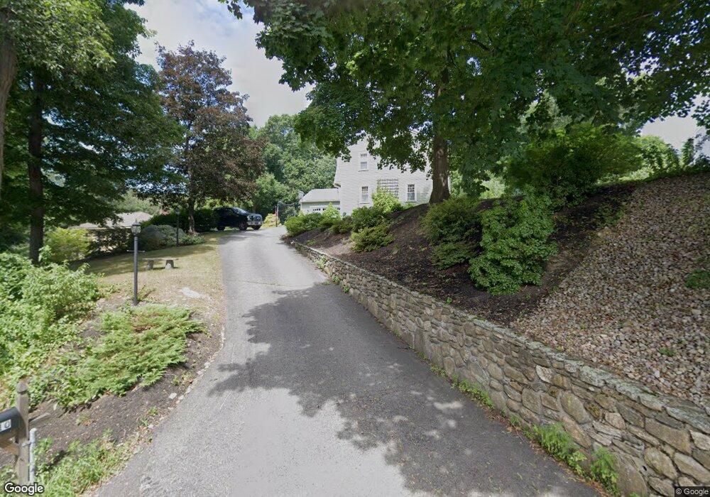
10 Bruce St Grafton, MA 01519
Estimated Value: $844,000 - $976,072
4
Beds
3
Baths
2,310
Sq Ft
$404/Sq Ft
Est. Value
About This Home
This home is located at 10 Bruce St, Grafton, MA 01519 and is currently estimated at $933,268, approximately $404 per square foot. 10 Bruce St is a home located in Worcester County with nearby schools including Grafton High School, Silver Spruce Montessori School, and Touchstone Community School.
Ownership History
Date
Name
Owned For
Owner Type
Purchase Details
Closed on
Dec 22, 2006
Sold by
Edwards Francis X and Lambert-Edwards Gail J
Bought by
Dignam Leah M and Mcdonough Michael P
Current Estimated Value
Home Financials for this Owner
Home Financials are based on the most recent Mortgage that was taken out on this home.
Original Mortgage
$355,000
Interest Rate
6.35%
Mortgage Type
Purchase Money Mortgage
Purchase Details
Closed on
Sep 28, 1988
Sold by
Wright Warren D
Bought by
Edwards F X
Create a Home Valuation Report for This Property
The Home Valuation Report is an in-depth analysis detailing your home's value as well as a comparison with similar homes in the area
Home Values in the Area
Average Home Value in this Area
Purchase History
| Date | Buyer | Sale Price | Title Company |
|---|---|---|---|
| Dignam Leah M | $418,000 | -- | |
| Dignam Leah M | $418,000 | -- | |
| Dignam Leah M | $418,000 | -- | |
| Edwards F X | $239,000 | -- |
Source: Public Records
Mortgage History
| Date | Status | Borrower | Loan Amount |
|---|---|---|---|
| Open | Edwards F X | $302,000 | |
| Closed | Edwards F X | $326,000 | |
| Closed | Dignam Leah M | $355,000 |
Source: Public Records
Tax History Compared to Growth
Tax History
| Year | Tax Paid | Tax Assessment Tax Assessment Total Assessment is a certain percentage of the fair market value that is determined by local assessors to be the total taxable value of land and additions on the property. | Land | Improvement |
|---|---|---|---|---|
| 2025 | $11,488 | $824,100 | $193,000 | $631,100 |
| 2024 | $8,469 | $591,800 | $183,900 | $407,900 |
| 2023 | $7,976 | $507,700 | $183,900 | $323,800 |
| 2022 | $7,675 | $454,700 | $157,600 | $297,100 |
| 2021 | $7,654 | $445,500 | $143,200 | $302,300 |
| 2020 | $7,310 | $443,000 | $143,200 | $299,800 |
| 2019 | $7,094 | $425,800 | $138,800 | $287,000 |
| 2018 | $6,419 | $386,900 | $138,400 | $248,500 |
| 2017 | $6,240 | $380,500 | $132,000 | $248,500 |
| 2016 | $5,687 | $339,500 | $117,600 | $221,900 |
| 2015 | $5,526 | $334,900 | $110,800 | $224,100 |
| 2014 | $5,022 | $329,100 | $136,300 | $192,800 |
Source: Public Records
Map
Nearby Homes
- 30 Nottingham Rd
- 36 South St
- 54 Elliot Trail
- 49 South St
- 42 Gordon Cir Unit 42
- 24 Coventry Rd
- 18 Pullard Rd
- 13 Pullard Rd Unit 38
- 3 Millbury St
- 151 Providence Rd Unit 24
- 151 Providence Rd Unit 15
- 55 Upton St
- 8 Chestnut St
- 5 Merriam Rd
- 81 Millbury St
- 8 Hudson Ave
- 49 Brigham Hill Rd
- 63 North St
- 4 Abby Rd
- 11 1/2 Carroll Rd Unit B