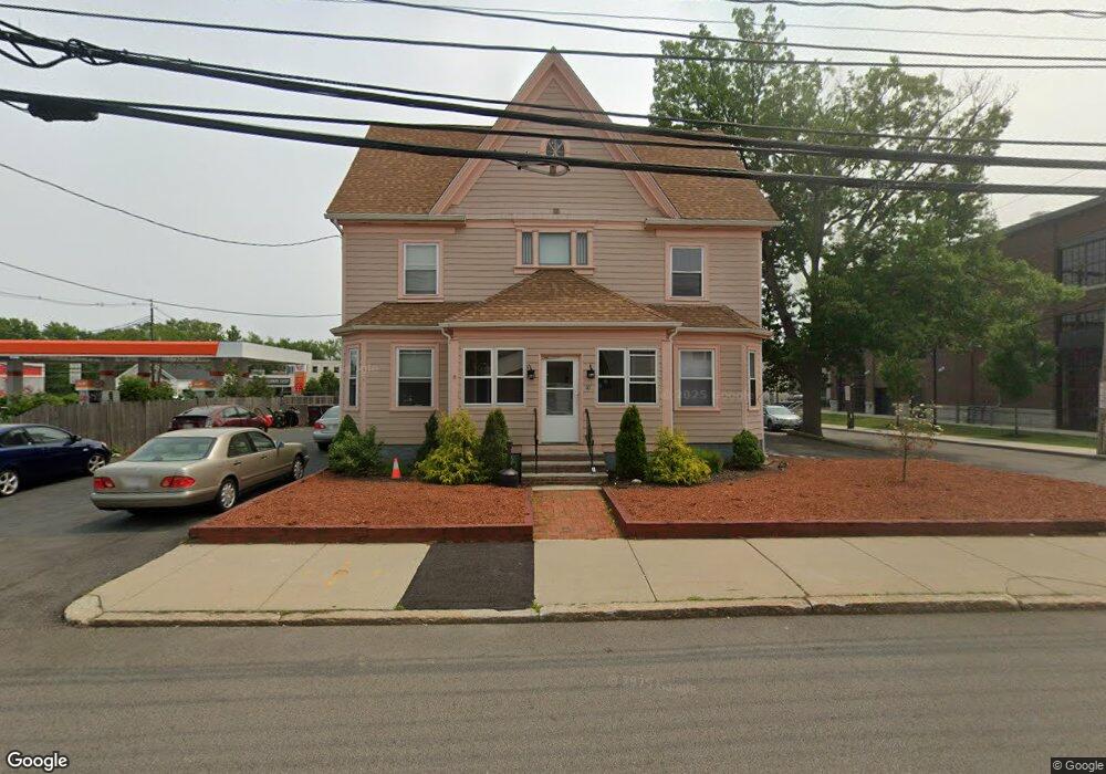
10 Bryant St Dedham, MA 02026
Dedham Village NeighborhoodEstimated Value: $758,038 - $892,000
4
Beds
3
Baths
2,290
Sq Ft
$366/Sq Ft
Est. Value
About This Home
This home is located at 10 Bryant St, Dedham, MA 02026 and is currently estimated at $839,010, approximately $366 per square foot. 10 Bryant St is a home located in Norfolk County with nearby schools including Avery, Dedham Middle School, and Dedham High School.
Ownership History
Date
Name
Owned For
Owner Type
Purchase Details
Closed on
Jan 10, 2024
Sold by
Depari Charles R
Bought by
Depari Charles R and Depari Donna M
Current Estimated Value
Purchase Details
Closed on
Mar 30, 2018
Sold by
John Rockwell Ret and Depari
Bought by
Depari Charles R
Purchase Details
Closed on
Apr 18, 2007
Sold by
Macintyre John R
Bought by
Rockwell Nt and Macintyre
Create a Home Valuation Report for This Property
The Home Valuation Report is an in-depth analysis detailing your home's value as well as a comparison with similar homes in the area
Home Values in the Area
Average Home Value in this Area
Purchase History
| Date | Buyer | Sale Price | Title Company |
|---|---|---|---|
| Depari Charles R | -- | None Available | |
| Depari Charles R | -- | -- | |
| John Rockwell Ret | -- | -- | |
| Rockwell Nt | -- | -- |
Source: Public Records
Tax History Compared to Growth
Tax History
| Year | Tax Paid | Tax Assessment Tax Assessment Total Assessment is a certain percentage of the fair market value that is determined by local assessors to be the total taxable value of land and additions on the property. | Land | Improvement |
|---|---|---|---|---|
| 2025 | $7,153 | $566,800 | $322,200 | $244,600 |
| 2024 | $6,711 | $536,900 | $292,300 | $244,600 |
| 2023 | $6,538 | $509,200 | $264,600 | $244,600 |
| 2022 | $0 | $435,400 | $248,500 | $186,900 |
| 2021 | $0 | $417,000 | $230,100 | $186,900 |
| 2020 | $0 | $380,500 | $230,100 | $150,400 |
| 2019 | $0 | $329,600 | $200,100 | $129,500 |
| 2018 | $0 | $306,300 | $176,800 | $129,500 |
| 2017 | $0 | $295,200 | $165,700 | $129,500 |
| 2016 | -- | $282,900 | $153,400 | $129,500 |
| 2015 | -- | $278,800 | $147,500 | $131,300 |
| 2014 | -- | $276,100 | $144,800 | $131,300 |
Source: Public Records
Map
Nearby Homes
- 55 Dwight St
- 325 East St
- 321 East St
- 31 Court St
- 10 Crowley Ave
- 442 High St
- 35 Highland St
- 42 Churchill Place
- 8 Fort Ln
- 570 Washington St
- 103 Brookdale Ave
- 56 Mount Vernon St
- 155 Mount Vernon St
- 163 Whiting Ave
- 570 Bridge St
- 130 Oak St
- 27 Edison Ave
- 235 Curve St
- 1 Columbia Terrace
- 37 Horrigan Dr Unit 1
- 515 Providence Hwy Unit 105
- 515 Providence Hwy Unit 201
- 515 Providence Hwy Unit 104
- 515 Providence Hwy Unit 101
- 515 Providence Hwy
- 4 Dorothy Ln
- 35 Bryant St
- 1 Union Place
- 420 Washington St
- 412 Washington St Unit 309
- 414 Washington St
- 410 Washington St Unit 305
- 410 Washington St Unit 103
- 410 Washington St Unit 105
- 410 Washington St Unit 206
- 410 Washington St Unit 304
- 410 Washington St Unit 102
- 410 Washington St Unit 104
- 410 Washington St
- 400 Washington St Unit 201