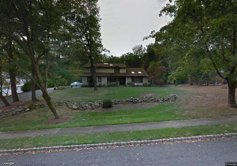
10 Buckingham Rd Whippany, NJ 07981
Estimated Value: $946,000 - $1,118,000
--
Bed
--
Bath
4,015
Sq Ft
$254/Sq Ft
Est. Value
About This Home
This home is located at 10 Buckingham Rd, Whippany, NJ 07981 and is currently estimated at $1,019,274, approximately $253 per square foot. 10 Buckingham Rd is a home located in Morris County with nearby schools including Whippany Park High School, Arrow Academy, and The Morristown-Beard School.
Ownership History
Date
Name
Owned For
Owner Type
Purchase Details
Closed on
Jul 12, 1996
Sold by
Hoyer Jerome P and Hoyer Jacqueline E
Bought by
Contompasis David J and Contompasis Marianne
Current Estimated Value
Home Financials for this Owner
Home Financials are based on the most recent Mortgage that was taken out on this home.
Original Mortgage
$315,000
Outstanding Balance
$18,132
Interest Rate
5.87%
Estimated Equity
$1,001,142
Create a Home Valuation Report for This Property
The Home Valuation Report is an in-depth analysis detailing your home's value as well as a comparison with similar homes in the area
Home Values in the Area
Average Home Value in this Area
Purchase History
| Date | Buyer | Sale Price | Title Company |
|---|---|---|---|
| Contompasis David J | $350,000 | Lawyers Title Insurance Corp |
Source: Public Records
Mortgage History
| Date | Status | Borrower | Loan Amount |
|---|---|---|---|
| Open | Contompasis David J | $315,000 |
Source: Public Records
Tax History Compared to Growth
Tax History
| Year | Tax Paid | Tax Assessment Tax Assessment Total Assessment is a certain percentage of the fair market value that is determined by local assessors to be the total taxable value of land and additions on the property. | Land | Improvement |
|---|---|---|---|---|
| 2025 | $13,683 | $649,100 | $269,400 | $379,700 |
| 2024 | $13,625 | $649,100 | $269,400 | $379,700 |
| 2023 | $13,625 | $649,100 | $269,400 | $379,700 |
| 2022 | $12,463 | $649,100 | $269,400 | $379,700 |
| 2021 | $12,463 | $649,100 | $269,400 | $379,700 |
| 2020 | $12,242 | $649,100 | $269,400 | $379,700 |
| 2019 | $12,281 | $649,100 | $269,400 | $379,700 |
| 2018 | $12,067 | $649,100 | $269,400 | $379,700 |
| 2017 | $11,710 | $649,100 | $269,400 | $379,700 |
| 2016 | $11,541 | $649,100 | $269,400 | $379,700 |
| 2015 | $11,080 | $649,100 | $269,400 | $379,700 |
| 2014 | $10,840 | $649,100 | $269,400 | $379,700 |
Source: Public Records
Map
Nearby Homes
- 8 Buckingham Rd
- 13 N Pond Rd
- 6 Buckingham Rd
- 11 Buckingham Rd
- 9 Buckingham Rd
- 7 Buckingham Rd
- 9 N Pond Rd
- 25 Howell St
- 16 N Pond Rd
- 10 N Pond Rd
- 5 N Pond Rd
- 5 Buckingham Rd
- 2 Buckingham Rd
- 8 N Pond Rd
- 178 Bee Meadow Pkwy
- 176 Bee Meadow Pkwy
- 24 Howell St
- 19 Howell St
- 3 Buckingham Rd
- 174 Bee Meadow Pkwy