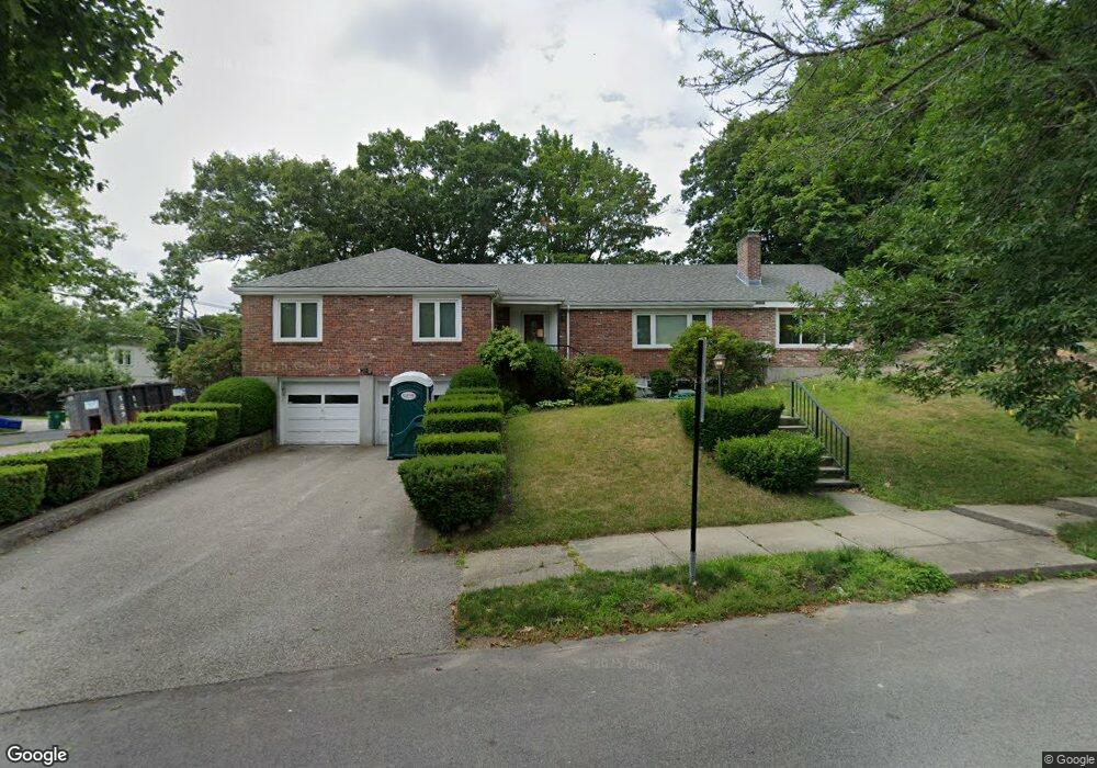
10 Burdean Rd Newton Center, MA 02459
Oak Hill NeighborhoodEstimated Value: $1,951,000 - $2,211,196
4
Beds
5
Baths
2,721
Sq Ft
$764/Sq Ft
Est. Value
About This Home
This home is located at 10 Burdean Rd, Newton Center, MA 02459 and is currently estimated at $2,079,299, approximately $764 per square foot. 10 Burdean Rd is a home located in Middlesex County with nearby schools including Memorial Spaulding Elementary School, Charles E Brown Middle School, and Oak Hill Middle School.
Ownership History
Date
Name
Owned For
Owner Type
Purchase Details
Closed on
Dec 1, 1993
Sold by
Grupp Muriel E
Bought by
Motakef Sharezad and Montagut Eric L
Current Estimated Value
Home Financials for this Owner
Home Financials are based on the most recent Mortgage that was taken out on this home.
Original Mortgage
$277,000
Interest Rate
6.69%
Mortgage Type
Purchase Money Mortgage
Create a Home Valuation Report for This Property
The Home Valuation Report is an in-depth analysis detailing your home's value as well as a comparison with similar homes in the area
Home Values in the Area
Average Home Value in this Area
Purchase History
| Date | Buyer | Sale Price | Title Company |
|---|---|---|---|
| Motakef Sharezad | $397,500 | -- |
Source: Public Records
Mortgage History
| Date | Status | Borrower | Loan Amount |
|---|---|---|---|
| Closed | Motakef Sharezad | $277,000 |
Source: Public Records
Tax History Compared to Growth
Tax History
| Year | Tax Paid | Tax Assessment Tax Assessment Total Assessment is a certain percentage of the fair market value that is determined by local assessors to be the total taxable value of land and additions on the property. | Land | Improvement |
|---|---|---|---|---|
| 2025 | $17,613 | $1,797,200 | $1,150,500 | $646,700 |
| 2024 | $17,030 | $1,744,900 | $1,117,000 | $627,900 |
| 2023 | $16,954 | $1,665,400 | $874,300 | $791,100 |
| 2022 | $11,318 | $1,075,900 | $809,500 | $266,400 |
| 2021 | $10,921 | $1,015,000 | $763,700 | $251,300 |
| 2020 | $10,597 | $1,015,000 | $763,700 | $251,300 |
| 2019 | $10,297 | $985,400 | $741,500 | $243,900 |
| 2018 | $9,924 | $917,200 | $675,000 | $242,200 |
| 2017 | $9,622 | $865,300 | $636,800 | $228,500 |
| 2016 | $9,203 | $808,700 | $595,100 | $213,600 |
| 2015 | $8,374 | $721,300 | $556,200 | $165,100 |
Source: Public Records
Map
Nearby Homes
- 56 Cynthia Rd
- 59 Deborah Rd
- 65 Levbert Rd
- 41 Juniper Ln
- 135 Hartman Rd
- 63 Drumlin Rd
- 99 Baldpate Hill Rd
- 136 Dudley Rd
- 58 Country Club Rd
- 45 Brandeis Rd
- 79 Florence St Unit 600S
- 79 Florence St Unit 402S
- 85 Dudley Rd
- 38 Tanglewood Rd
- 35 Haynes Rd
- 44 Lovett Rd
- 80 Louise Rd Unit 82
- 21 Lovett Rd
- 36 Ober Rd
- 14 Rolling Ln
- 5 Littlefield Rd
- 22 Burdean Rd
- 9 Burdean Rd
- 90 Greenwood St
- 98 Greenwood St
- 83 Greenwood St
- 82 Greenwood St
- 21 Littlefield Rd
- 30 Burdean Rd
- 106 Greenwood St
- 27 Burdean Rd
- 27 Deborah Rd
- 21 Deborah Rd
- 74 Greenwood St
- 8 Littlefield Rd
- 8 Littlefield Rd
- 21 Burdean Rd
- 21 Burdean Rd Lot A
- 17 Burdean Rd
- 4 Sevland Rd