10 Burgess Rd Plymouth, MA 02360
Estimated Value: $694,887 - $902,000
3
Beds
2
Baths
2,010
Sq Ft
$381/Sq Ft
Est. Value
About This Home
This home is located at 10 Burgess Rd, Plymouth, MA 02360 and is currently estimated at $765,222, approximately $380 per square foot. 10 Burgess Rd is a home located in Plymouth County with nearby schools including Cold Spring, Plymouth Community Intermediate, and Plymouth North High School.
Ownership History
Date
Name
Owned For
Owner Type
Purchase Details
Closed on
Feb 15, 2012
Sold by
Bakar Injil A
Bought by
Bakar Injil A and Mcguire Daniel
Current Estimated Value
Home Financials for this Owner
Home Financials are based on the most recent Mortgage that was taken out on this home.
Original Mortgage
$279,000
Outstanding Balance
$33,909
Interest Rate
3.93%
Mortgage Type
New Conventional
Estimated Equity
$731,313
Purchase Details
Closed on
Aug 15, 2008
Sold by
Pennanen Arthur R and Pennanen Michele N
Bought by
Bakar Injil Abu
Home Financials for this Owner
Home Financials are based on the most recent Mortgage that was taken out on this home.
Original Mortgage
$313,600
Interest Rate
6.4%
Mortgage Type
Purchase Money Mortgage
Create a Home Valuation Report for This Property
The Home Valuation Report is an in-depth analysis detailing your home's value as well as a comparison with similar homes in the area
Home Values in the Area
Average Home Value in this Area
Purchase History
| Date | Buyer | Sale Price | Title Company |
|---|---|---|---|
| Bakar Injil A | -- | -- | |
| Bakar Injil Abu | $392,000 | -- |
Source: Public Records
Mortgage History
| Date | Status | Borrower | Loan Amount |
|---|---|---|---|
| Open | Bakar Injil A | $279,000 | |
| Previous Owner | Bakar Injil Abu | $309,000 | |
| Previous Owner | Bakar Injil Abu | $313,600 | |
| Previous Owner | Bakar Injil Abu | $215,000 | |
| Previous Owner | Bakar Injil Abu | $185,000 |
Source: Public Records
Tax History Compared to Growth
Tax History
| Year | Tax Paid | Tax Assessment Tax Assessment Total Assessment is a certain percentage of the fair market value that is determined by local assessors to be the total taxable value of land and additions on the property. | Land | Improvement |
|---|---|---|---|---|
| 2025 | $7,568 | $596,400 | $356,300 | $240,100 |
| 2024 | $7,197 | $559,200 | $338,300 | $220,900 |
| 2023 | $7,028 | $512,600 | $308,300 | $204,300 |
| 2022 | $6,968 | $451,600 | $278,200 | $173,400 |
| 2021 | $6,912 | $427,700 | $278,200 | $149,500 |
| 2020 | $6,700 | $409,800 | $263,200 | $146,600 |
| 2019 | $6,183 | $373,800 | $233,200 | $140,600 |
| 2018 | $5,858 | $355,900 | $218,200 | $137,700 |
| 2017 | $5,702 | $343,900 | $218,200 | $125,700 |
| 2016 | $5,475 | $336,500 | $210,700 | $125,800 |
| 2015 | $5,114 | $329,100 | $203,200 | $125,900 |
| 2014 | $4,910 | $324,500 | $203,200 | $121,300 |
Source: Public Records
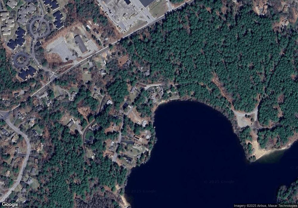
Map
Nearby Homes
- 5 Marc Dr Unit 1
- 5 Marc Dr Unit 5
- 5 Marc Dr Unit 8
- 2 Marc Dr Unit 2B2
- 4 Marc Dr Unit 4B3
- 198 Samoset St
- 230 Summer St
- 0 Nathaniel St
- 21 Chapel Hill Dr Unit 3
- 7 Chapel Hill Dr Unit 11
- 9 Chapel Hill Dr Unit 2
- 17 Chapel Hill Dr Unit 3
- 13 Chapel Hill Dr Unit 5
- 6 Chapel Hill Dr Unit 9
- 2 Chapel Hill Dr Unit 7
- 116 Pilgrim Trail
- 7 W Hill Rd
- 16 Jan Marie Dr
- 178 Black Cat Rd
- 91 Newfield St Unit 34
- 8 Burgess Rd
- 6 Burgess Rd
- 11 Burgess Rd
- 15 Burgess Rd
- 16 Burgess Rd
- 3 Little Pond Rd
- 3 Little Pond Rd Unit 1
- 3 Little Pond Rd Unit 38
- 3 Little Pond Rd
- 3 Little Pond Rd
- 3 Little Pond Rd
- 17 Burgess Rd
- 17 Burgess Saquish Head
- 17 Burgess Saquish Head
- 2 Burgess Rd
- 19 Burgess Rd
- 18 Burgess Rd
- 16 Little Pond Rd
- 20 Burgess Rd
- 5 Little Pond Rd