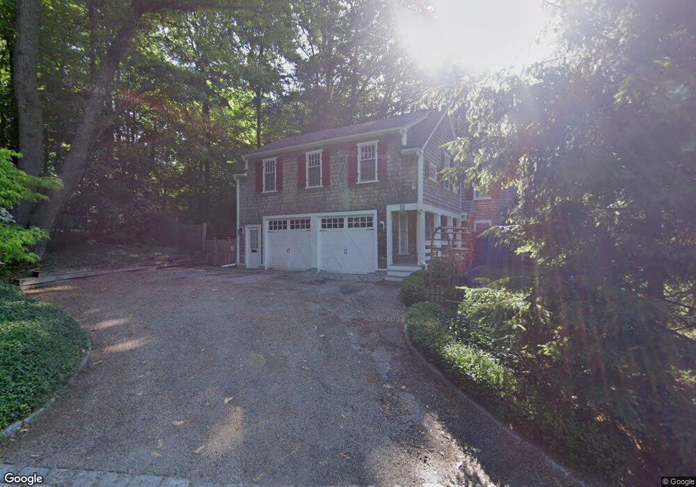
10 Butternut Hill Rd Worcester, MA 01609
Forest Grove NeighborhoodEstimated Value: $754,885 - $842,000
4
Beds
4
Baths
3,333
Sq Ft
$239/Sq Ft
Est. Value
About This Home
This home is located at 10 Butternut Hill Rd, Worcester, MA 01609 and is currently estimated at $797,221, approximately $239 per square foot. 10 Butternut Hill Rd is a home located in Worcester County with nearby schools including Nelson Place Elementary School, Chandler Magnet, and Jacob Hiatt Magnet School.
Ownership History
Date
Name
Owned For
Owner Type
Purchase Details
Closed on
May 8, 1998
Sold by
Burgut Elizabeth B
Bought by
Richman Martin S and Demoura Joanne R
Current Estimated Value
Home Financials for this Owner
Home Financials are based on the most recent Mortgage that was taken out on this home.
Original Mortgage
$196,500
Outstanding Balance
$38,228
Interest Rate
7.05%
Mortgage Type
Purchase Money Mortgage
Estimated Equity
$758,993
Create a Home Valuation Report for This Property
The Home Valuation Report is an in-depth analysis detailing your home's value as well as a comparison with similar homes in the area
Home Values in the Area
Average Home Value in this Area
Purchase History
| Date | Buyer | Sale Price | Title Company |
|---|---|---|---|
| Richman Martin S | $207,000 | -- |
Source: Public Records
Mortgage History
| Date | Status | Borrower | Loan Amount |
|---|---|---|---|
| Open | Richman Martin S | $16,500 | |
| Open | Richman Martin S | $196,500 |
Source: Public Records
Tax History
| Year | Tax Paid | Tax Assessment Tax Assessment Total Assessment is a certain percentage of the fair market value that is determined by local assessors to be the total taxable value of land and additions on the property. | Land | Improvement |
|---|---|---|---|---|
| 2025 | $8,370 | $634,600 | $126,000 | $508,600 |
| 2024 | $8,144 | $592,300 | $126,000 | $466,300 |
| 2023 | $7,867 | $548,600 | $108,700 | $439,900 |
| 2022 | $7,336 | $482,300 | $87,300 | $395,000 |
| 2021 | $7,131 | $438,000 | $70,200 | $367,800 |
| 2020 | $7,094 | $417,300 | $70,000 | $347,300 |
| 2019 | $7,222 | $401,200 | $67,800 | $333,400 |
| 2018 | $7,144 | $377,800 | $67,800 | $310,000 |
| 2017 | $7,134 | $371,200 | $67,800 | $303,400 |
| 2016 | $7,424 | $360,200 | $57,500 | $302,700 |
| 2015 | $7,229 | $360,200 | $57,500 | $302,700 |
| 2014 | $7,062 | $361,400 | $57,500 | $303,900 |
Source: Public Records
Map
Nearby Homes
- 31 Sun Valley Dr
- 19 Hancock Hill Dr
- 42 Ellis Dr
- 7 Chadwick St
- 12 Kanes Crossing
- 23 Germain St
- 437 Salisbury St
- 26 Lee St
- 59 Dover St
- 23 Dryden St
- 10 Neptune Rd
- 8 Westland St
- 172 Russell St
- 32 Indian Lake Pkwy
- 63 North St Unit D
- 63 North St Unit A
- 10 Trowbridge Rd
- 38 Hapgood Rd
- 577 Grove St
- 31 Lenox St
- 1 Butternut Hill Rd
- 13 Butternut Hill Rd
- 18 Butternut Hill Rd
- 19 Butternut Hill Rd
- 300 Salisbury St
- 2 Butternut Hill Rd
- 33 Otsego Rd
- 346 Salisbury St
- 340 Salisbury St
- 35 Otsego Rd
- 350 Salisbury St
- 21 Butternut Hill Rd
- 344 Salisbury St
- 24 Butternut Hill Rd
- 339 Salisbury St
- 337 Salisbury St
- 335 Salisbury St
- 37 Otsego Rd
- 333 Salisbury St
- 36 Otsego Rd
Your Personal Tour Guide
Ask me questions while you tour the home.