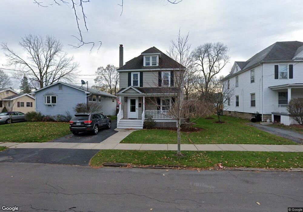
10 Camp St Auburn, NY 13021
Estimated Value: $152,000 - $199,284
3
Beds
2
Baths
1,488
Sq Ft
$120/Sq Ft
Est. Value
About This Home
This home is located at 10 Camp St, Auburn, NY 13021 and is currently estimated at $177,821, approximately $119 per square foot. 10 Camp St is a home located in Cayuga County with nearby schools including Auburn Junior High School, Auburn High School, and St Joseph School.
Ownership History
Date
Name
Owned For
Owner Type
Purchase Details
Closed on
Jul 14, 2006
Sold by
Montone John
Bought by
Campbell Mathew
Current Estimated Value
Home Financials for this Owner
Home Financials are based on the most recent Mortgage that was taken out on this home.
Original Mortgage
$84,000
Outstanding Balance
$50,034
Interest Rate
6.71%
Mortgage Type
New Conventional
Estimated Equity
$127,787
Purchase Details
Closed on
Jun 22, 2001
Sold by
Dale Amidon
Bought by
Montone John C
Purchase Details
Closed on
Jul 16, 1996
Sold by
Furst Susan R
Bought by
Colella Albert P and Colella Sandra A
Create a Home Valuation Report for This Property
The Home Valuation Report is an in-depth analysis detailing your home's value as well as a comparison with similar homes in the area
Home Values in the Area
Average Home Value in this Area
Purchase History
| Date | Buyer | Sale Price | Title Company |
|---|---|---|---|
| Campbell Mathew | $105,000 | John Yuhas | |
| Montone John C | $76,900 | Sam P Giacona | |
| Colella Albert P | $56,900 | -- |
Source: Public Records
Mortgage History
| Date | Status | Borrower | Loan Amount |
|---|---|---|---|
| Open | Campbell Mathew | $84,000 |
Source: Public Records
Tax History Compared to Growth
Tax History
| Year | Tax Paid | Tax Assessment Tax Assessment Total Assessment is a certain percentage of the fair market value that is determined by local assessors to be the total taxable value of land and additions on the property. | Land | Improvement |
|---|---|---|---|---|
| 2024 | $2,584 | $131,100 | $13,900 | $117,200 |
| 2023 | $3,053 | $131,100 | $13,900 | $117,200 |
| 2022 | $2,537 | $131,100 | $13,900 | $117,200 |
| 2021 | $2,281 | $103,500 | $12,600 | $90,900 |
| 2020 | $2,246 | $103,500 | $12,600 | $90,900 |
| 2019 | $880 | $103,500 | $12,600 | $90,900 |
| 2018 | $2,216 | $103,500 | $12,600 | $90,900 |
| 2017 | $2,329 | $105,400 | $13,300 | $92,100 |
| 2016 | $2,803 | $105,400 | $13,300 | $92,100 |
| 2015 | $1,295 | $105,400 | $13,300 | $92,100 |
| 2014 | $1,295 | $105,400 | $13,300 | $92,100 |
Source: Public Records
Map
Nearby Homes
- 28 Lake Ave
- 16 Mattie St Unit 18
- 133 Osborne St
- 136 Osborne St
- 19 Grove Ave
- 100 Grove Ave Extension
- 62 Mary St
- 7295 Owasco Rd
- 7271 Owasco Rd
- 112 Grove St Extension
- 16 Augustus St
- 7282 Owasco Rd
- 2 Second Ave
- 1 Lizette St
- 49 Frances St
- 48 Burt Ave
- 78 Owasco St
- 36 Bradford St
- 82 Bradford St
- 15 Bradford St