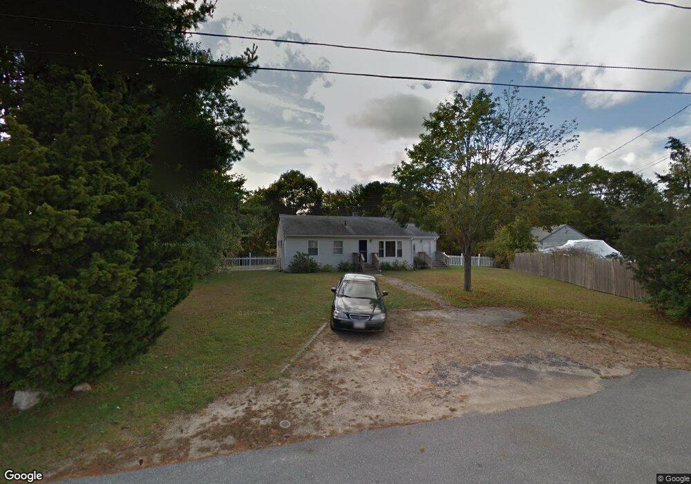
10 Canal View Rd Bourne, MA 2532
Buzzards Bay NeighborhoodEstimated Value: $427,000 - $581,000
3
Beds
1
Bath
1,056
Sq Ft
$498/Sq Ft
Est. Value
About This Home
This home is located at 10 Canal View Rd, Bourne, MA 2532 and is currently estimated at $526,343, approximately $498 per square foot. 10 Canal View Rd is a home located in Barnstable County with nearby schools including Bourne High School and St Margaret Regional School.
Ownership History
Date
Name
Owned For
Owner Type
Purchase Details
Closed on
Oct 16, 2015
Sold by
Cairone Joanne
Bought by
Foley Karen
Current Estimated Value
Purchase Details
Closed on
Sep 24, 1998
Sold by
T R and Vm Weston T
Bought by
White John H
Home Financials for this Owner
Home Financials are based on the most recent Mortgage that was taken out on this home.
Original Mortgage
$32,000
Interest Rate
6.87%
Mortgage Type
Purchase Money Mortgage
Create a Home Valuation Report for This Property
The Home Valuation Report is an in-depth analysis detailing your home's value as well as a comparison with similar homes in the area
Home Values in the Area
Average Home Value in this Area
Purchase History
| Date | Buyer | Sale Price | Title Company |
|---|---|---|---|
| Foley Karen | $275,000 | -- | |
| Foley Karen | $275,000 | -- | |
| White John H | $107,000 | -- | |
| White John H | $107,000 | -- |
Source: Public Records
Mortgage History
| Date | Status | Borrower | Loan Amount |
|---|---|---|---|
| Previous Owner | White John H | $32,000 |
Source: Public Records
Tax History Compared to Growth
Tax History
| Year | Tax Paid | Tax Assessment Tax Assessment Total Assessment is a certain percentage of the fair market value that is determined by local assessors to be the total taxable value of land and additions on the property. | Land | Improvement |
|---|---|---|---|---|
| 2025 | $4,106 | $525,700 | $336,000 | $189,700 |
| 2024 | $4,015 | $500,600 | $320,000 | $180,600 |
| 2023 | $3,905 | $443,300 | $283,200 | $160,100 |
| 2022 | $3,816 | $378,200 | $250,600 | $127,600 |
| 2021 | $3,710 | $344,500 | $228,100 | $116,400 |
| 2020 | $3,617 | $336,800 | $225,900 | $110,900 |
| 2019 | $3,477 | $330,800 | $225,900 | $104,900 |
| 2018 | $3,140 | $297,900 | $215,200 | $82,700 |
| 2017 | $2,972 | $288,500 | $213,100 | $75,400 |
| 2016 | $3,266 | $321,500 | $255,800 | $65,700 |
| 2015 | $3,238 | $321,500 | $255,800 | $65,700 |
Source: Public Records
Map
Nearby Homes
- 46 Holt Rd
- 46 Holt Rd Unit A
- 151 - 153 Main St
- 16 Washington Ave
- 34 Washington Ave
- 38 Old Bridge Rd
- 17 Maple St
- 304 Main St
- 3 Wolf Rd
- 60 Sandwich Rd
- 44 Cotuit Rd
- 56 Rip Van Winkle Way
- 162 Puritan Rd
- 90-92 Sandwich Rd Unit 2
- 171 Puritan Rd
- 41 Lewis Point Rd
- 90-92 Sandwich Rd Unit 9C
- 0 Lewis Point Rd
- 14 Great Rock Rd
- 65 Lewis Point Rd
- 10 Canal View Rd
- 6 Canal View Rd
- 14 Canal View Rd
- 2 Canal View Rd
- 24 Canal View Rd
- 24 Canal View Rd
- 9 Thomas Ave Unit 6
- 9 Thomas Ave Unit 5
- 9 Thomas Ave Unit 4
- 9 Thomas Ave Unit 3
- 9 Thomas Ave Unit 2
- 9 Thomas Ave Unit 1
- 9 Thomas Ave Unit 2-6
- 9 Thomas Ave Unit 2-2
- 9 Thomas Ave
- 9 Thomas Ave Unit 2-4
- 9 Thomas Ave Unit 2-5
- 12 Holt Rd Unit 6
- 12 Holt Rd Unit 5
- 12 Holt Rd Unit 4