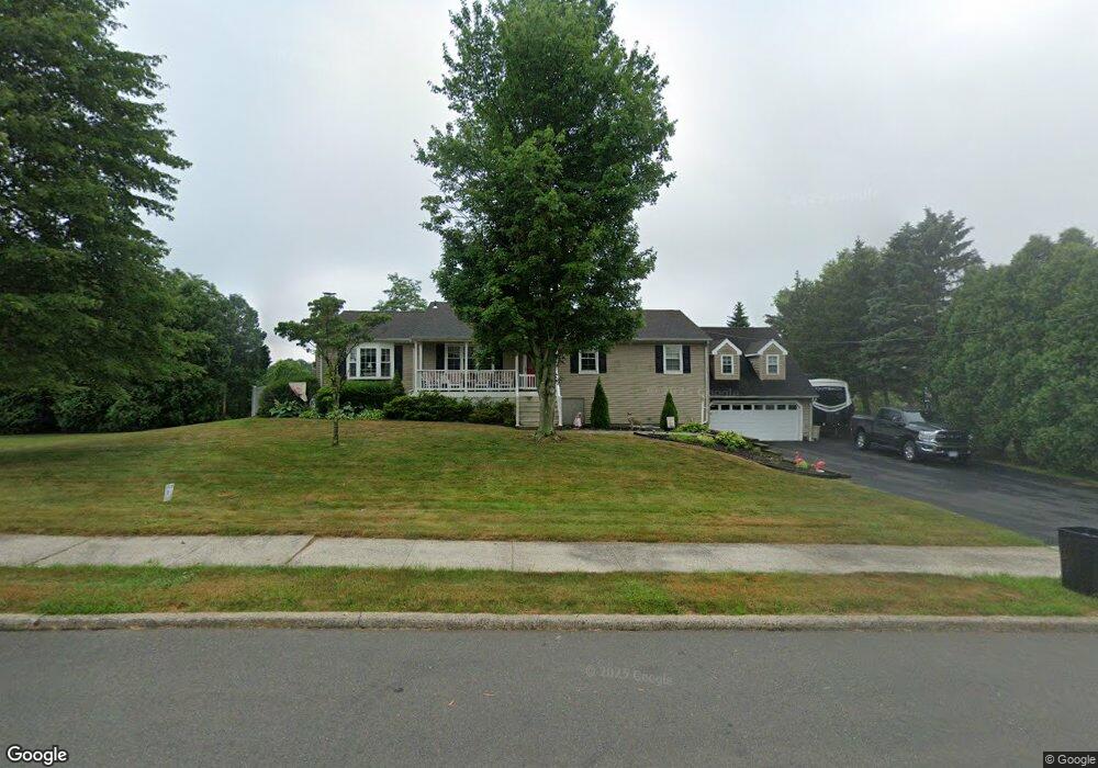
10 Cannonball Rd North Haven, CT 06473
Estimated Value: $505,000 - $562,376
4
Beds
4
Baths
2,017
Sq Ft
$269/Sq Ft
Est. Value
About This Home
This home is located at 10 Cannonball Rd, North Haven, CT 06473 and is currently estimated at $542,844, approximately $269 per square foot. 10 Cannonball Rd is a home located in New Haven County with nearby schools including North Haven High School.
Ownership History
Date
Name
Owned For
Owner Type
Purchase Details
Closed on
Apr 2, 2014
Sold by
Holcomb Michael E and Holcomb Katherine K
Bought by
Holcomb Tr Michael E and Holcomb Katherine K
Current Estimated Value
Purchase Details
Closed on
Mar 4, 2014
Sold by
Holcomb Michael E and Holcomb Katherine K
Bought by
Holcomb Ft
Purchase Details
Closed on
Dec 20, 1996
Sold by
Essex Home Mtg Svcs
Bought by
Holcomb Michael E and Holcomb Katherine K
Create a Home Valuation Report for This Property
The Home Valuation Report is an in-depth analysis detailing your home's value as well as a comparison with similar homes in the area
Home Values in the Area
Average Home Value in this Area
Purchase History
| Date | Buyer | Sale Price | Title Company |
|---|---|---|---|
| Holcomb Tr Michael E | -- | -- | |
| Holcomb Ft | -- | -- | |
| Holcomb Michael E | $180,100 | -- |
Source: Public Records
Mortgage History
| Date | Status | Borrower | Loan Amount |
|---|---|---|---|
| Previous Owner | Holcomb Michael E | $160,000 | |
| Previous Owner | Holcomb Michael E | $55,000 |
Source: Public Records
Tax History Compared to Growth
Tax History
| Year | Tax Paid | Tax Assessment Tax Assessment Total Assessment is a certain percentage of the fair market value that is determined by local assessors to be the total taxable value of land and additions on the property. | Land | Improvement |
|---|---|---|---|---|
| 2025 | $9,837 | $333,900 | $74,760 | $259,140 |
| 2024 | $8,409 | $242,760 | $74,770 | $167,990 |
| 2023 | $7,926 | $242,760 | $74,770 | $167,990 |
| 2022 | $7,442 | $242,340 | $74,770 | $167,570 |
| 2021 | $7,442 | $242,340 | $74,770 | $167,570 |
| 2020 | $7,445 | $242,340 | $74,770 | $167,570 |
| 2019 | $7,150 | $229,320 | $80,360 | $148,960 |
| 2018 | $7,150 | $229,320 | $80,360 | $148,960 |
| 2017 | $7,013 | $229,320 | $80,360 | $148,960 |
| 2016 | $7,001 | $229,320 | $80,360 | $148,960 |
| 2015 | $6,747 | $229,320 | $80,360 | $148,960 |
| 2014 | $6,660 | $237,020 | $83,860 | $153,160 |
Source: Public Records
Map
Nearby Homes
- 11 Musket Dr
- 45 Pond Hill Lot 3 Rd
- 20 Fawn Ridge Dr
- 40 Woodland Ave
- 26 Mallard Ct
- 28 Fieldstone Ct Unit 28
- 12 Roxbury Ln
- 100-150 Dodge Ave
- 28 Fallon Dr
- 14 Saint Andrews Cir Unit 6
- 7 Cypress Ln Unit 3
- 6 Cypress Ln Unit 2
- 3 Pilgrim Harbor Unit C
- 10 Pilgrim Harbor Unit D
- 3 Pilgrim Harbor Unit A
- 22 Carlen Dr
- 32 Brian Rd
- 513 Pilgrim Harbor
- 101 Pool Rd
- 107 Woodhouse Ave
- 6 Cannonball Rd
- 14 Cannonball Rd
- 11 Revere Rd
- 15 Revere Rd
- 40 Sentinel Hill Rd
- 7 Revere Rd
- 18 Cannonball Rd
- 7 Cannonball Rd
- 50 Sentinel Hill Rd
- 11 Cannonball Rd
- 21 Revere Rd
- 32 Sentinel Hill Rd
- 22 Cannonball Rd
- 17 Cannonball Rd
- 25 Revere Rd
- 43 Sentinel Hill Rd
- 47 Sentinel Hill Rd
- 39 Sentinel Hill Rd
- 56 Sentinel Hill Rd
- 27 Musket Dr