10 Captain Cook Ln Centerville, MA 02632
Centerville NeighborhoodEstimated Value: $368,223 - $503,000
2
Beds
2
Baths
1,224
Sq Ft
$336/Sq Ft
Est. Value
About This Home
This home is located at 10 Captain Cook Ln, Centerville, MA 02632 and is currently estimated at $411,056, approximately $335 per square foot. 10 Captain Cook Ln is a home located in Barnstable County with nearby schools including Centerville Elementary School, Barnstable United Elementary School, and Barnstable Intermediate School.
Ownership History
Date
Name
Owned For
Owner Type
Purchase Details
Closed on
Sep 29, 2025
Sold by
Mullin Wendy
Bought by
Wendy L Mullin Lt and Mullin
Current Estimated Value
Purchase Details
Closed on
Apr 18, 2003
Sold by
Horgan William J
Bought by
Mullin Wendy
Home Financials for this Owner
Home Financials are based on the most recent Mortgage that was taken out on this home.
Original Mortgage
$90,000
Interest Rate
5.75%
Mortgage Type
Purchase Money Mortgage
Purchase Details
Closed on
Jun 15, 1995
Sold by
Chesley Richard B and Chesley Charlotte F
Bought by
Horgan William J
Home Financials for this Owner
Home Financials are based on the most recent Mortgage that was taken out on this home.
Original Mortgage
$47,250
Interest Rate
8.24%
Mortgage Type
Purchase Money Mortgage
Create a Home Valuation Report for This Property
The Home Valuation Report is an in-depth analysis detailing your home's value as well as a comparison with similar homes in the area
Home Values in the Area
Average Home Value in this Area
Purchase History
| Date | Buyer | Sale Price | Title Company |
|---|---|---|---|
| Wendy L Mullin Lt | -- | -- | |
| Mullin Wendy | $180,000 | -- | |
| Horgan William J | $63,000 | -- |
Source: Public Records
Mortgage History
| Date | Status | Borrower | Loan Amount |
|---|---|---|---|
| Previous Owner | Horgan William J | $90,000 | |
| Previous Owner | Horgan William J | $47,250 | |
| Closed | Horgan William J | $12,600 |
Source: Public Records
Tax History
| Year | Tax Paid | Tax Assessment Tax Assessment Total Assessment is a certain percentage of the fair market value that is determined by local assessors to be the total taxable value of land and additions on the property. | Land | Improvement |
|---|---|---|---|---|
| 2025 | $3,106 | $335,100 | $0 | $335,100 |
| 2024 | $3,239 | $357,900 | $0 | $357,900 |
| 2023 | $2,730 | $285,300 | $0 | $285,300 |
| 2022 | $2,607 | $225,300 | $0 | $225,300 |
| 2021 | $2,586 | $217,100 | $0 | $217,100 |
| 2020 | $2,603 | $211,100 | $0 | $211,100 |
| 2019 | $2,240 | $178,100 | $0 | $178,100 |
| 2018 | $2,105 | $171,100 | $0 | $171,100 |
| 2017 | $1,840 | $153,500 | $0 | $153,500 |
| 2016 | $1,801 | $153,500 | $0 | $153,500 |
| 2015 | $1,798 | $155,400 | $0 | $155,400 |
Source: Public Records
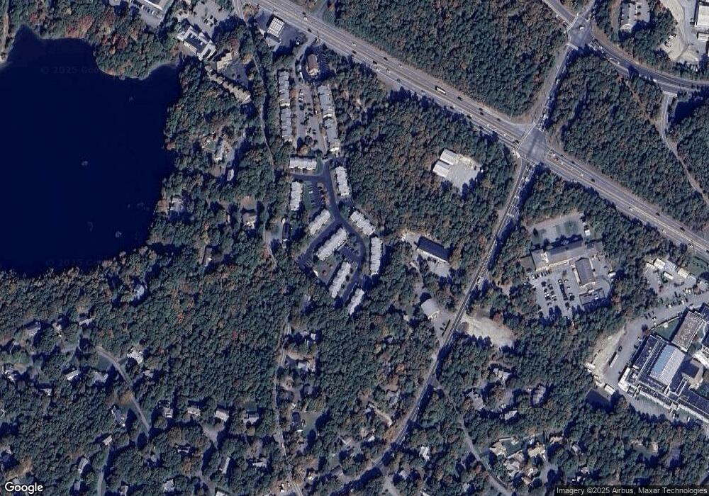
Map
Nearby Homes
- 210 Attucks Ln
- 230 Attucks Ln
- 800 Bearses Way Unit 2SB
- 800 Bearses Way Unit 3NF
- 800 Bearses Way Unit 5NB
- 800 Bearses Way Unit 5NB
- 1029 Iyannough Rd Unit B BLDG 8
- 522 Lincoln Road Extension
- 423 Lincoln Road Extension
- 0 Phinneys Ln
- 357 Lakeside Dr W
- 140 Wequaquet Ln
- 5 Chickadee Ln
- 21 Brian Ln
- 720 Pitchers Way Unit 52
- 60 Richards Ln
- 481 Lakeside Dr W
- 75 Olander Dr
- 75 Olander Dr
- 10-12 Hiramar
- 7 Louisburg Square
- 11 Louisburg Square
- 13 Louisburg Square
- 15 Louisburg Square
- 6 Louisburg Square
- 16 Captain Cook Ln Unit 16
- 18 Captain Cook Ln Unit 18 BLDG 3
- 17 Louisburg Square Unit 17
- 28 Captain Cook Ln
- 26 Captain Cook Ln
- 20 Captain Cook Ln
- 19 Captain Cook Ln
- 17 Captain Cook Ln
- 13 Captain Cook Ln
- 12 Captain Cook Ln
- 6 Captain Cook Ln
- 13 Capt Cook Unit 13
- 18 Capt Cook Unit 18
- 10 Captain Cook Ln Unit 10
- 26 Captain Cook Ln Unit 26
Your Personal Tour Guide
Ask me questions while you tour the home.