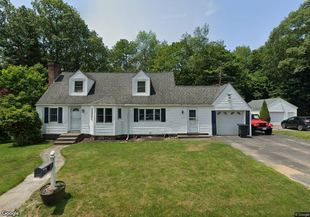
10 Carleton Rd Rochdale, MA 01542
Estimated Value: $407,000 - $446,000
2
Beds
2
Baths
1,786
Sq Ft
$236/Sq Ft
Est. Value
About This Home
This home is located at 10 Carleton Rd, Rochdale, MA 01542 and is currently estimated at $421,925, approximately $236 per square foot. 10 Carleton Rd is a home located in Worcester County with nearby schools including Leicester Integrated Preschool, Leicester Memorial Elementary School, and Leicester Middle School.
Ownership History
Date
Name
Owned For
Owner Type
Purchase Details
Closed on
Jun 12, 1998
Sold by
Allen Mary A and Clifford Elizabeth E
Bought by
Alcorn Donald P and Snow Barbara R
Current Estimated Value
Create a Home Valuation Report for This Property
The Home Valuation Report is an in-depth analysis detailing your home's value as well as a comparison with similar homes in the area
Home Values in the Area
Average Home Value in this Area
Purchase History
| Date | Buyer | Sale Price | Title Company |
|---|---|---|---|
| Alcorn Donald P | $122,000 | -- | |
| Alcorn Donald P | $122,000 | -- |
Source: Public Records
Mortgage History
| Date | Status | Borrower | Loan Amount |
|---|---|---|---|
| Open | Alcorn Donald P | $85,000 | |
| Closed | Alcorn Donald P | $40,000 | |
| Closed | Alcorn Donald P | $126,000 |
Source: Public Records
Tax History Compared to Growth
Tax History
| Year | Tax Paid | Tax Assessment Tax Assessment Total Assessment is a certain percentage of the fair market value that is determined by local assessors to be the total taxable value of land and additions on the property. | Land | Improvement |
|---|---|---|---|---|
| 2025 | $43 | $361,700 | $82,600 | $279,100 |
| 2024 | $4,041 | $322,000 | $71,400 | $250,600 |
| 2023 | $3,837 | $298,400 | $71,400 | $227,000 |
| 2022 | $3,712 | $265,300 | $67,900 | $197,400 |
| 2021 | $3,976 | $262,800 | $67,900 | $194,900 |
| 2020 | $3,483 | $233,600 | $54,500 | $179,100 |
| 2019 | $3,278 | $217,400 | $48,800 | $168,600 |
| 2018 | $2,957 | $183,800 | $48,800 | $135,000 |
| 2017 | $2,828 | $182,700 | $48,800 | $133,900 |
| 2016 | $2,661 | $178,600 | $60,900 | $117,700 |
| 2015 | $2,597 | $178,600 | $60,900 | $117,700 |
Source: Public Records
Map
Nearby Homes
- 620 Henshaw St
- 748-A Stafford St
- 6 Ryans Way Unit 6
- 19 Virginia Dr Unit 19
- 1098 Stafford St Unit 9
- 66 Pleasant St Unit 16
- 747-749 Pleasant St
- 3 Edward St Unit 3
- 75 Huntoon Memorial Hwy Unit 1-2
- 10 Edward St
- 2 Wendy Place
- 102 River St
- 3 Michelle Ln
- 6 Brickyard Rd
- 664 Stafford St
- 20 Leela Ln
- 2 Victor Ave
- 473 Pleasant St
- 164 Peter Salem Rd
- 27 W Applewood Dr
- 12 Carleton Rd
- 8 Carleton Rd
- 8 Carleton Rd
- 11 Carleton Rd
- 6 Carleton Rd
- 9 Carleton Rd
- 14 Carleton Rd
- 7 Carleton Rd
- 4 Carleton Rd
- 16 Carleton Rd
- 15 Carleton Rd
- 5 Carleton Rd
- 999 Stafford St
- 2 Carleton Rd
- 128 Huntoon Memorial Hwy
- 3 Carleton Rd
- 130 Huntoon Memorial Hwy
- 126 Huntoon Memorial Hwy
- 17 Carleton Rd
- 18 Carleton Rd