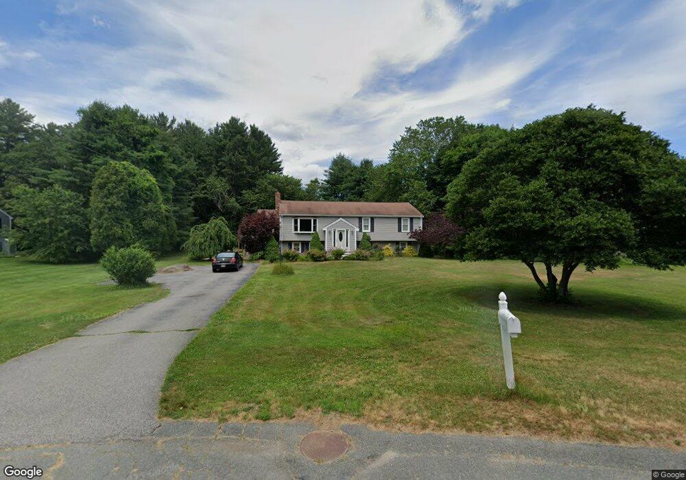
10 Carol Cir East Bridgewater, MA 02333
Estimated Value: $609,000 - $760,000
4
Beds
2
Baths
2,671
Sq Ft
$245/Sq Ft
Est. Value
About This Home
This home is located at 10 Carol Cir, East Bridgewater, MA 02333 and is currently estimated at $654,074, approximately $244 per square foot. 10 Carol Cir is a home located in Plymouth County with nearby schools including Central Elementary School, Gordon W Mitchell Middle School, and East Bridgewater Jr./Sr. High School.
Ownership History
Date
Name
Owned For
Owner Type
Purchase Details
Closed on
Dec 30, 2009
Sold by
Bois Edward J and Walker-Bois Tansy
Bought by
Sessa Sarah E and Mccaughey David A
Current Estimated Value
Home Financials for this Owner
Home Financials are based on the most recent Mortgage that was taken out on this home.
Original Mortgage
$279,303
Outstanding Balance
$188,426
Interest Rate
5.5%
Mortgage Type
FHA
Estimated Equity
$465,648
Create a Home Valuation Report for This Property
The Home Valuation Report is an in-depth analysis detailing your home's value as well as a comparison with similar homes in the area
Home Values in the Area
Average Home Value in this Area
Purchase History
| Date | Buyer | Sale Price | Title Company |
|---|---|---|---|
| Sessa Sarah E | $305,000 | -- |
Source: Public Records
Mortgage History
| Date | Status | Borrower | Loan Amount |
|---|---|---|---|
| Open | Sessa Sarah E | $279,303 | |
| Previous Owner | Sessa Sarah E | $158,334 | |
| Previous Owner | Sessa Sarah E | $160,000 | |
| Previous Owner | Sessa Sarah E | $90,000 |
Source: Public Records
Tax History Compared to Growth
Tax History
| Year | Tax Paid | Tax Assessment Tax Assessment Total Assessment is a certain percentage of the fair market value that is determined by local assessors to be the total taxable value of land and additions on the property. | Land | Improvement |
|---|---|---|---|---|
| 2025 | $7,088 | $518,500 | $188,500 | $330,000 |
| 2024 | $6,902 | $498,700 | $181,300 | $317,400 |
| 2023 | $6,750 | $467,100 | $181,300 | $285,800 |
| 2022 | $6,429 | $412,100 | $164,900 | $247,200 |
| 2021 | $6,710 | $363,800 | $158,400 | $205,400 |
| 2020 | $5,929 | $342,900 | $152,300 | $190,600 |
| 2019 | $7,249 | $329,700 | $145,600 | $184,100 |
| 2018 | $5,722 | $318,600 | $145,600 | $173,000 |
| 2017 | $7,357 | $303,600 | $138,800 | $164,800 |
| 2016 | $5,395 | $297,100 | $138,800 | $158,300 |
| 2015 | $5,255 | $295,900 | $137,900 | $158,000 |
| 2014 | $5,044 | $290,400 | $135,000 | $155,400 |
Source: Public Records
Map
Nearby Homes
- 1993 Washington St
- 71 Stonegate Dr
- 2045 Washington St
- 51 Stonegate Dr
- 94 Pond St
- 29 Hayes Rd
- 26 Meadowbrook Dr
- 587 Bridge St
- 23 Stone Meadow Dr
- 2 Edgewood Cir
- 67 Country Dr
- 22 Hudson St
- 24 High Pond Dr
- 28 Brookbend Way E
- 49 Country Dr
- 114 Plain St
- 182 Crystal Water Dr Unit 182
- 217 Crystal Water Dr
- 78 Crystal Water Dr
- 121 South St
- 1999 Washington St
- 20 Carol Cir
- 15 Carol Circcle
- 15 Carol Cir
- 1971 Washington St
- 1988 Washington St
- 2000 Washington St
- 35 Carol Cir
- 2025 Washington St
- 1978 Washington St
- 25 Carol Cir
- 75 Stonegate Dr
- 1961 Washington St
- 1968 Washington St
- 1958 Washington St
- 2020 Washington St
- 79 Stonegate Dr
- 1945 Washington St
- 2035 Washington St
- 2030 Washington St