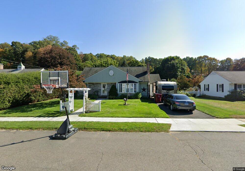
10 Carolyn Cir Naugatuck, CT 06770
Estimated Value: $316,000 - $346,000
3
Beds
1
Bath
1,490
Sq Ft
$222/Sq Ft
Est. Value
About This Home
This home is located at 10 Carolyn Cir, Naugatuck, CT 06770 and is currently estimated at $330,359, approximately $221 per square foot. 10 Carolyn Cir is a home located in New Haven County with nearby schools including City Hill Middle School and Naugatuck High School.
Ownership History
Date
Name
Owned For
Owner Type
Purchase Details
Closed on
Feb 25, 2025
Sold by
Dwy June Est and Dwy
Bought by
Dwy Sabrina and Lopez Michael
Current Estimated Value
Home Financials for this Owner
Home Financials are based on the most recent Mortgage that was taken out on this home.
Original Mortgage
$292,531
Outstanding Balance
$291,083
Interest Rate
7.04%
Mortgage Type
FHA
Estimated Equity
$39,276
Purchase Details
Closed on
Mar 19, 1984
Bought by
Dwy Robin and Dwy June
Create a Home Valuation Report for This Property
The Home Valuation Report is an in-depth analysis detailing your home's value as well as a comparison with similar homes in the area
Home Values in the Area
Average Home Value in this Area
Purchase History
| Date | Buyer | Sale Price | Title Company |
|---|---|---|---|
| Dwy Sabrina | $300,000 | None Available | |
| Dwy Sabrina | $300,000 | None Available | |
| Dwy Robin | -- | -- |
Source: Public Records
Mortgage History
| Date | Status | Borrower | Loan Amount |
|---|---|---|---|
| Open | Dwy Sabrina | $292,531 | |
| Closed | Dwy Sabrina | $292,531 | |
| Previous Owner | Dwy Robin | $25,000 |
Source: Public Records
Tax History
| Year | Tax Paid | Tax Assessment Tax Assessment Total Assessment is a certain percentage of the fair market value that is determined by local assessors to be the total taxable value of land and additions on the property. | Land | Improvement |
|---|---|---|---|---|
| 2025 | $6,899 | $173,390 | $30,380 | $143,010 |
| 2024 | $7,246 | $173,390 | $30,380 | $143,010 |
| 2023 | $7,759 | $173,390 | $30,380 | $143,010 |
| 2022 | $6,336 | $132,690 | $32,580 | $100,110 |
| 2021 | $6,336 | $132,690 | $32,580 | $100,110 |
| 2020 | $6,336 | $132,690 | $32,580 | $100,110 |
| 2019 | $6,270 | $132,690 | $32,580 | $100,110 |
| 2018 | $5,822 | $120,410 | $39,190 | $81,220 |
| 2017 | $5,846 | $120,410 | $39,190 | $81,220 |
| 2016 | $5,077 | $106,500 | $39,190 | $67,310 |
| 2015 | $4,853 | $106,500 | $39,190 | $67,310 |
| 2014 | $4,799 | $106,500 | $39,190 | $67,310 |
| 2012 | $4,973 | $148,230 | $49,490 | $98,740 |
Source: Public Records
Map
Nearby Homes
- 111 Wooster St Unit 4A
- 317 City Hill St
- 51 Brook St Unit 6A
- 51 Brook St
- 85 Cold Spring Cir
- 21 Acushnet St
- 163 City Hill St
- 22 Neagle St
- 465 N Main St
- 190 Auburn St
- 4 Rosewood Ct
- 631 High St
- 171 Union City Rd
- 35 Monahan Ln
- 231 N Main St
- 48 Anderson St
- 121 Johnson St
- 3 Vine St
- 52 Tracey Ann Ct
- 69 Johnson St