10 Carter Rd Eldon, MI 65026
Estimated Value: $241,000 - $354,000
Studio
3
Baths
1,980
Sq Ft
$149/Sq Ft
Est. Value
About This Home
This home is located at 10 Carter Rd, Eldon, MI 65026 and is currently estimated at $295,241, approximately $149 per square foot. 10 Carter Rd is a home located in Miller County with nearby schools including South Elementary School, Eldon Upper Elementary School, and Eldon Middle School.
Ownership History
Date
Name
Owned For
Owner Type
Purchase Details
Closed on
Feb 14, 2013
Sold by
Bowen Aaron C and Bowen Tanya M
Bought by
Franklin Bryce A and Atchison Kathryn L
Current Estimated Value
Purchase Details
Closed on
Sep 15, 2010
Sold by
Morrison Silvia E and Pruitt Gwendolyn
Bought by
Bowen Aaron C and Bowen Tanya M
Home Financials for this Owner
Home Financials are based on the most recent Mortgage that was taken out on this home.
Original Mortgage
$117,427
Interest Rate
4.25%
Mortgage Type
USDA
Create a Home Valuation Report for This Property
The Home Valuation Report is an in-depth analysis detailing your home's value as well as a comparison with similar homes in the area
Home Values in the Area
Average Home Value in this Area
Purchase History
| Date | Buyer | Sale Price | Title Company |
|---|---|---|---|
| Franklin Bryce A | -- | None Available | |
| Bowen Aaron C | -- | Miller County Title Co |
Source: Public Records
Mortgage History
| Date | Status | Borrower | Loan Amount |
|---|---|---|---|
| Previous Owner | Bowen Aaron C | $117,427 | |
| Closed | Franklin Bryce A | $0 |
Source: Public Records
Tax History
| Year | Tax Paid | Tax Assessment Tax Assessment Total Assessment is a certain percentage of the fair market value that is determined by local assessors to be the total taxable value of land and additions on the property. | Land | Improvement |
|---|---|---|---|---|
| 2025 | $1,001 | $20,640 | $3,190 | $17,450 |
| 2024 | $981 | $19,320 | $2,900 | $16,420 |
| 2023 | $965 | $19,020 | $2,900 | $16,120 |
| 2022 | $965 | $19,020 | $2,900 | $16,120 |
| 2021 | $966 | $19,020 | $2,900 | $16,120 |
| 2020 | $936 | $18,230 | $2,900 | $15,330 |
| 2019 | $937 | $18,230 | $2,900 | $15,330 |
| 2018 | $889 | $18,230 | $2,900 | $15,330 |
| 2017 | $870 | $17,530 | $2,850 | $14,680 |
| 2016 | $877 | $17,530 | $0 | $0 |
| 2015 | -- | $17,530 | $0 | $0 |
| 2012 | -- | $18,540 | $0 | $0 |
Source: Public Records
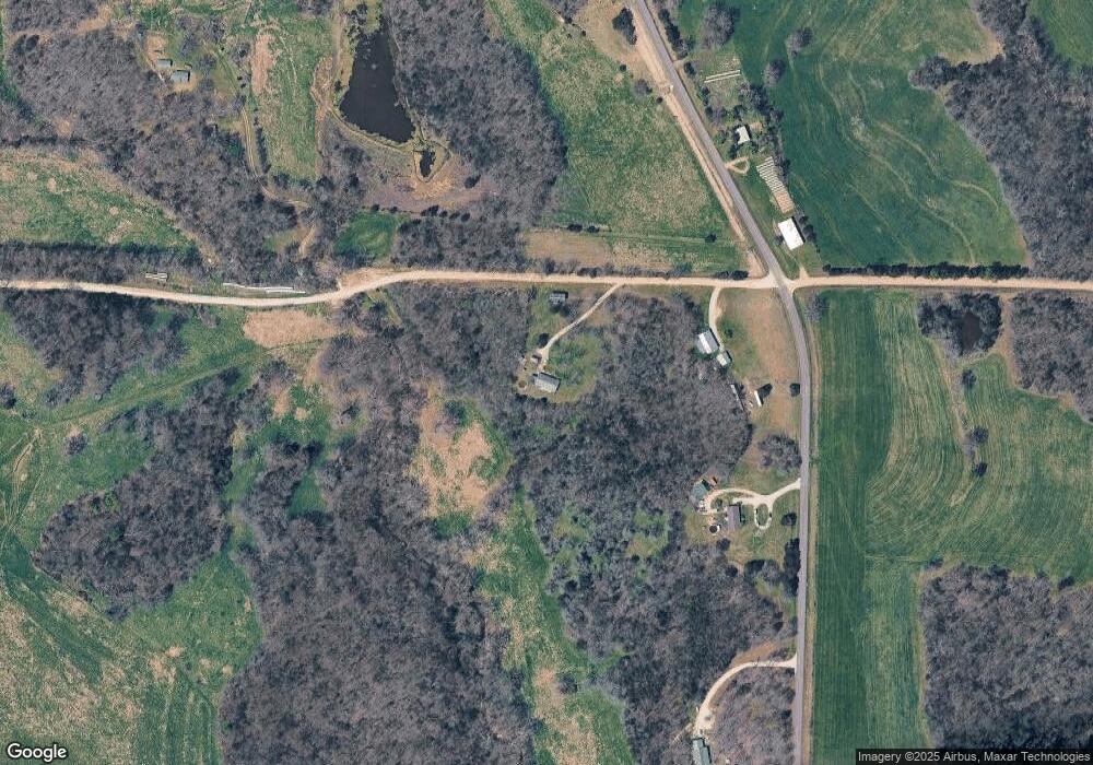
Map
Nearby Homes
- TBD Highway Mm
- 0 Highway Mm
- 367 Highway Mm
- 46 Devonshire Rd
- Tract 1 Greystone Rd
- Tract 2 Greystone Rd
- Tracts 1-5 Greystone Rd
- Tract 4 Greystone Rd
- Tract 5 Greystone Rd
- Tract 3 Greystone Rd
- Tracts 1 & 4 Greystone Rd
- 89 Frank Rd
- Tbd Off of Highway 137
- 13615 Redfield Dr
- 000 Swift Rd
- 12907 Penny Hollow Rd
- LOT 5 SE View St
- LOT 3 SE View St
- LOT 4 SE View St
- LOT 2 SE View St
- 10 County Rd W
- 4 Carter Rd
- 227 Highway Mm
- 198 Highway Mm
- 13 Carter Rd
- 180 Highway Mm
- 159 Highway Mm
- 237 Highway H
- 142 Highway Mm
- 283 Highway Mm
- 133 Highway Mm
- 294 Highway Mm
- 130 Highway Mm
- 125 Highway Mm
- 404 Gageville Rd
- 408 Gageville Rd
- 408 Gageville Rd
- 121 Highway Mm
- 297 Highway Mm
- 430 Gageville Rd
Your Personal Tour Guide
Ask me questions while you tour the home.