10 Carter Rd Hampton Bays, NY 11946
Estimated Value: $1,505,000 - $2,047,000
4
Beds
3
Baths
3,000
Sq Ft
$593/Sq Ft
Est. Value
About This Home
This home is located at 10 Carter Rd, Hampton Bays, NY 11946 and is currently estimated at $1,779,895, approximately $593 per square foot. 10 Carter Rd is a home located in Suffolk County with nearby schools including Hampton Bays Secondary School, Hampton Bays Elementary School, and Hampton Bays Middle School.
Ownership History
Date
Name
Owned For
Owner Type
Purchase Details
Closed on
Mar 9, 2015
Sold by
Prather Cameron Donald Edward
Bought by
Carter Hill Llc
Current Estimated Value
Home Financials for this Owner
Home Financials are based on the most recent Mortgage that was taken out on this home.
Original Mortgage
$430,000
Outstanding Balance
$330,186
Interest Rate
3.75%
Mortgage Type
New Conventional
Estimated Equity
$1,449,709
Purchase Details
Closed on
Jun 1, 2007
Sold by
Sweet Hollow Estates Llc
Bought by
Prather Cameron Donald Edward
Purchase Details
Closed on
May 24, 2007
Sold by
Sweet Hollow Estates Llc
Bought by
Prather Cameron Donald Edward
Purchase Details
Closed on
Jul 15, 2005
Sold by
Fanning Gerald P
Bought by
Sweet Hollow Estates Llc
Create a Home Valuation Report for This Property
The Home Valuation Report is an in-depth analysis detailing your home's value as well as a comparison with similar homes in the area
Home Values in the Area
Average Home Value in this Area
Purchase History
| Date | Buyer | Sale Price | Title Company |
|---|---|---|---|
| Carter Hill Llc | $735,000 | None Available | |
| Prather Cameron Donald Edward | $775,000 | James Oshea | |
| Prather Cameron Donald Edward | $775,000 | James Oshea | |
| Sweet Hollow Estates Llc | $315,000 | Linda Riley | |
| Sweet Hollow Estates Llc | $315,000 | Linda Riley |
Source: Public Records
Mortgage History
| Date | Status | Borrower | Loan Amount |
|---|---|---|---|
| Open | Carter Hill Llc | $430,000 |
Source: Public Records
Tax History
| Year | Tax Paid | Tax Assessment Tax Assessment Total Assessment is a certain percentage of the fair market value that is determined by local assessors to be the total taxable value of land and additions on the property. | Land | Improvement |
|---|---|---|---|---|
| 2024 | -- | $1,040,700 | $233,200 | $807,500 |
| 2023 | -- | $1,040,700 | $233,200 | $807,500 |
| 2022 | $12,339 | $1,040,700 | $233,200 | $807,500 |
| 2021 | $12,339 | $1,050,000 | $233,200 | $816,800 |
| 2020 | $16,293 | $1,050,000 | $233,200 | $816,800 |
| 2019 | $16,293 | $0 | $0 | $0 |
| 2018 | -- | $811,900 | $248,900 | $563,000 |
| 2017 | $13,705 | $811,900 | $248,900 | $563,000 |
| 2016 | $12,642 | $736,500 | $218,900 | $517,600 |
| 2015 | -- | $722,200 | $218,900 | $503,300 |
| 2014 | -- | $722,200 | $218,900 | $503,300 |
Source: Public Records
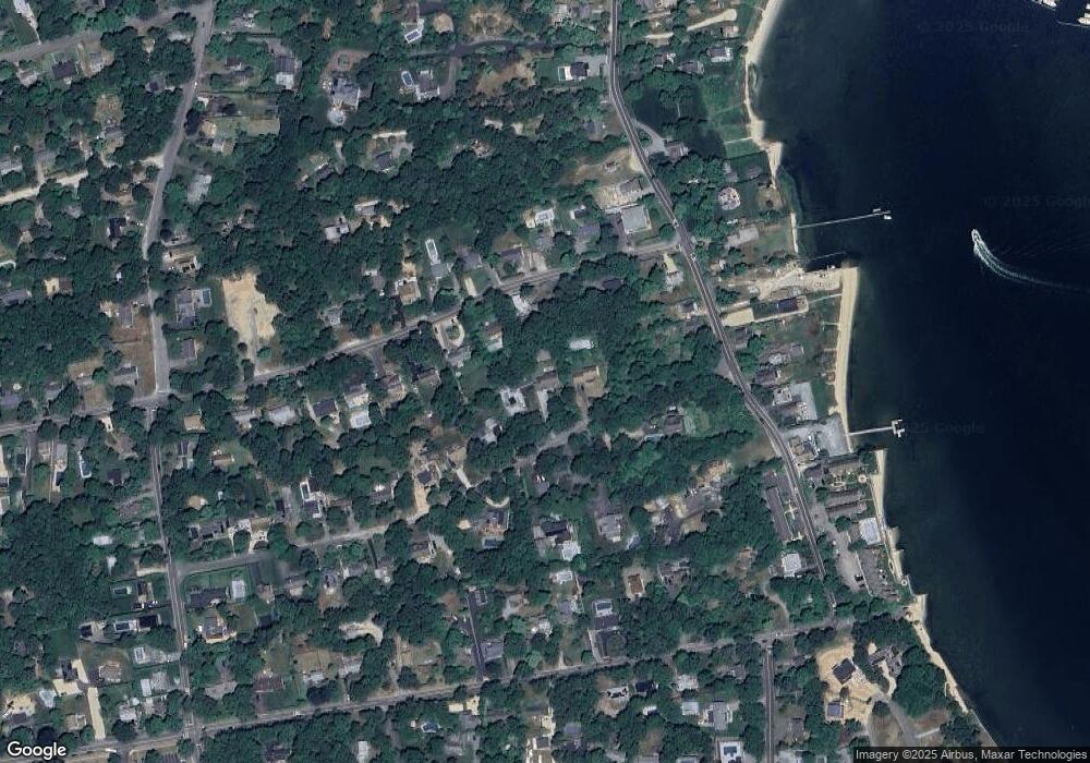
Map
Nearby Homes
- 40 Canoe Place Unit 3
- 40 Canoe Place Rd Unit 4
- 62 Canoe Place Rd Unit 5135
- 11 Bay View Dr
- 185 Wakeman Rd
- 70 Fanning Ave
- 110 E Montauk Hwy
- 21 Woodridge Rd
- 79 School St
- 17 Old Boathouse Ln S
- 12 George St
- 296 E Montauk Hwy
- 1 Lynnwood Ct
- 64 School St
- 9 Debbie Trail
- 39 Lynncliff Rd
- 27 Newtown Ct
- 5 Victoria Dr
- 17 Lovell Rd
- 32 Old Canoe Place Rd
- 8 Carter Rd
- 12 Carter Rd
- 102 Fanning Ave
- 104 Fanning Ave
- 100 Fanning Ave
- 14 Carter Rd
- 106 Fanning Ave
- 11 Carter Rd
- 98 Fanning Ave
- 16 Carter Rd
- 48 Canoe Place Rd
- 109 Fanning Ave
- 111 Fanning Ave
- 107 Fanning Ave
- 42 Canoe Place Rd
- 6 Carter Rd
- 113 Fanning Ave
- 105 Fanning Ave
- 50 Canoe Place Rd
- 1 Carter Rd
Your Personal Tour Guide
Ask me questions while you tour the home.