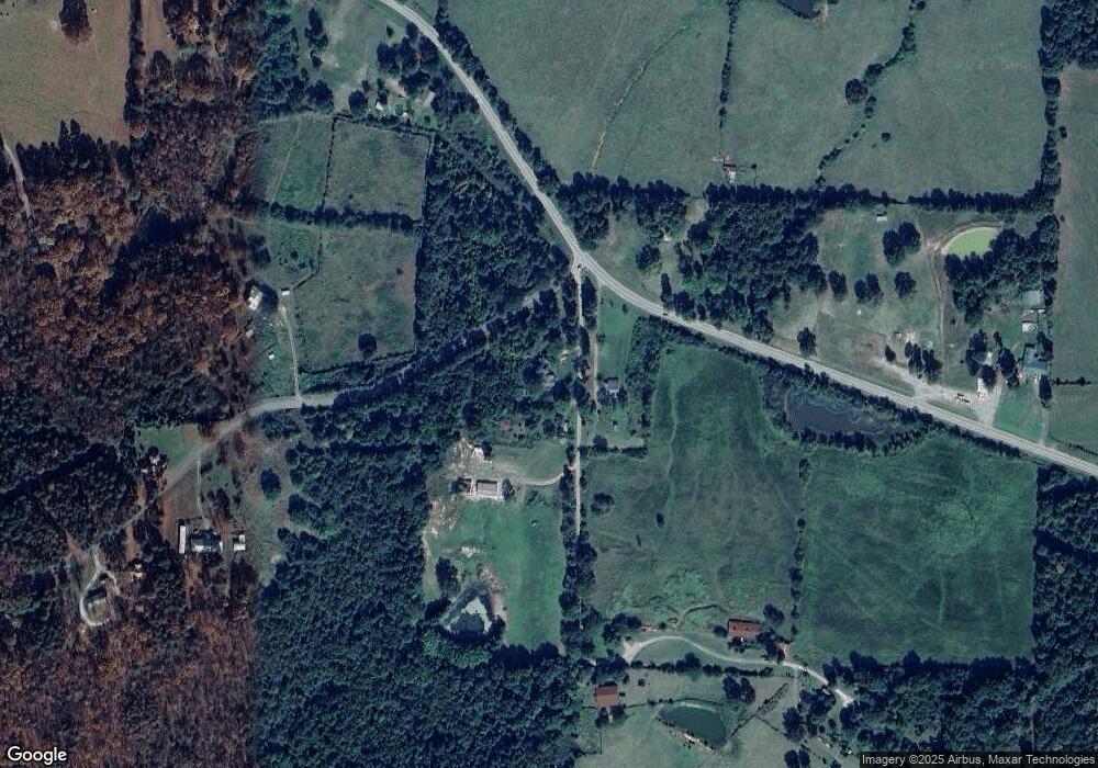
10 Cattle Rd Concord, AR 72523
Estimated Value: $64,000 - $296,000
Studio
2
Baths
1,576
Sq Ft
$104/Sq Ft
Est. Value
About This Home
This home is located at 10 Cattle Rd, Concord, AR 72523 and is currently estimated at $164,490, approximately $104 per square foot. 10 Cattle Rd is a home located in Cleburne County with nearby schools including Concord Elementary School and Concord High School.
Ownership History
Date
Name
Owned For
Owner Type
Purchase Details
Closed on
Sep 8, 2023
Sold by
Weeks Stephen B and Weeks Lori A
Bought by
Woosley William Bishop and Woosley Rachel Dill
Current Estimated Value
Purchase Details
Closed on
Oct 27, 2020
Sold by
Wilkerson Sandy
Bought by
Jackson Kyle
Home Financials for this Owner
Home Financials are based on the most recent Mortgage that was taken out on this home.
Original Mortgage
$34,293
Interest Rate
2.9%
Mortgage Type
Future Advance Clause Open End Mortgage
Purchase Details
Closed on
Oct 14, 2020
Sold by
Wilkerson Sandy and Estate Of Clellan Otto Jackson
Bought by
Ramsey Joshua and Hunter Otis
Home Financials for this Owner
Home Financials are based on the most recent Mortgage that was taken out on this home.
Original Mortgage
$34,293
Interest Rate
2.9%
Mortgage Type
Future Advance Clause Open End Mortgage
Purchase Details
Closed on
Aug 1, 1990
Bought by
Jackson Jackson C and Jackson Gertrude
Create a Home Valuation Report for This Property
The Home Valuation Report is an in-depth analysis detailing your home's value as well as a comparison with similar homes in the area
Purchase History
| Date | Buyer | Sale Price | Title Company |
|---|---|---|---|
| Woosley William Bishop | $260,000 | None Listed On Document | |
| Jackson Kyle | $5,900 | None Available | |
| Ramsey Joshua | $39,000 | None Available | |
| Jackson Jackson C | -- | -- |
Source: Public Records
Mortgage History
| Date | Status | Borrower | Loan Amount |
|---|---|---|---|
| Previous Owner | Ramsey Joshua | $34,293 |
Source: Public Records
Tax History
| Year | Tax Paid | Tax Assessment Tax Assessment Total Assessment is a certain percentage of the fair market value that is determined by local assessors to be the total taxable value of land and additions on the property. | Land | Improvement |
|---|---|---|---|---|
| 2025 | $896 | $20,497 | $2,960 | $17,537 |
| 2024 | -- | $4,807 | $2,960 | $1,847 |
| 2023 | $0 | $4,807 | $2,960 | $1,847 |
| 2022 | $0 | $4,807 | $2,960 | $1,847 |
| 2021 | $164 | $3,923 | $1,776 | $2,147 |
| 2020 | $164 | $3,923 | $1,776 | $2,147 |
| 2019 | $164 | $3,923 | $1,776 | $2,147 |
| 2018 | $504 | $12,086 | $1,776 | $10,310 |
| 2017 | $504 | $12,086 | $1,776 | $10,310 |
| 2016 | -- | $7,487 | $500 | $6,987 |
| 2015 | -- | $7,487 | $500 | $6,987 |
| 2014 | -- | $7,487 | $500 | $6,987 |
Source: Public Records
Map
Nearby Homes
- 560 Floral Rd
- 0 Wolf Bayou Unit 26002069
- 989 N Bayou Rd
- 550 Pine Grove Rd
- 240 Oak Grove Rd
- 240 Oak Grove Rd Unit LotWP001
- 7550 Heber Springs Rd N
- 0000 Dump Mountain Rd
- 356 Center Ridge Rd
- 5511 Heber Springs Rd N
- 000 Mountain View Rd
- 4761 Heber Springs Rd N
- 0 Big Creek Rd
- TBD Big Creek Rd
- 3011 and 2981 Jamestown Loop
- 0 Dump Mountain Rd
- 4621 Heber Springs Rd N
- 0 Jamestown Loop Unit 25344377
- 0 Deer Valley Rd
- 150 Bugger Hollar Ln
