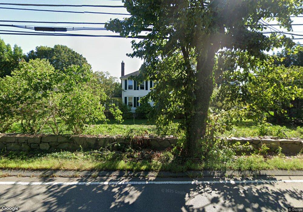
10 Cherry St Wrentham, MA 02093
Sheldonville NeighborhoodEstimated Value: $792,000 - $973,000
4
Beds
3
Baths
2,560
Sq Ft
$339/Sq Ft
Est. Value
About This Home
This home is located at 10 Cherry St, Wrentham, MA 02093 and is currently estimated at $867,930, approximately $339 per square foot. 10 Cherry St is a home located in Norfolk County with nearby schools including Delaney Elementary School, Charles E Roderick, and Mercymount Country Day School.
Ownership History
Date
Name
Owned For
Owner Type
Purchase Details
Closed on
Apr 14, 2022
Sold by
Regan Michael N
Bought by
Rose Matthew T
Current Estimated Value
Home Financials for this Owner
Home Financials are based on the most recent Mortgage that was taken out on this home.
Original Mortgage
$162,500
Outstanding Balance
$151,272
Interest Rate
3.76%
Mortgage Type
Purchase Money Mortgage
Estimated Equity
$716,658
Purchase Details
Closed on
Mar 8, 2018
Sold by
Pericolo Edward M and Pericolo Ann M
Bought by
East Rt
Purchase Details
Closed on
Jun 28, 1991
Sold by
Sheldon Realty Corp
Bought by
Pericolo Edward M and Pericolo Ann M
Create a Home Valuation Report for This Property
The Home Valuation Report is an in-depth analysis detailing your home's value as well as a comparison with similar homes in the area
Home Values in the Area
Average Home Value in this Area
Purchase History
| Date | Buyer | Sale Price | Title Company |
|---|---|---|---|
| Rose Matthew T | $250,000 | None Available | |
| East Rt | -- | -- | |
| East Rt | -- | -- | |
| Pericolo Edward M | $70,000 | -- |
Source: Public Records
Mortgage History
| Date | Status | Borrower | Loan Amount |
|---|---|---|---|
| Open | Rose Matthew T | $162,500 | |
| Previous Owner | Pericolo Edward M | $70,000 |
Source: Public Records
Tax History
| Year | Tax Paid | Tax Assessment Tax Assessment Total Assessment is a certain percentage of the fair market value that is determined by local assessors to be the total taxable value of land and additions on the property. | Land | Improvement |
|---|---|---|---|---|
| 2025 | $9,417 | $812,500 | $357,200 | $455,300 |
| 2024 | $9,092 | $757,700 | $357,200 | $400,500 |
| 2023 | $8,950 | $709,200 | $324,800 | $384,400 |
| 2022 | $7,930 | $580,100 | $250,400 | $329,700 |
| 2021 | $7,999 | $568,500 | $262,300 | $306,200 |
| 2020 | $8,296 | $582,200 | $236,800 | $345,400 |
| 2019 | $8,022 | $568,100 | $236,800 | $331,300 |
| 2018 | $8,208 | $576,400 | $236,400 | $340,000 |
| 2017 | $7,974 | $559,600 | $231,800 | $327,800 |
| 2016 | $7,854 | $550,000 | $225,200 | $324,800 |
| 2015 | $7,921 | $528,800 | $216,400 | $312,400 |
| 2014 | $7,992 | $522,000 | $208,200 | $313,800 |
Source: Public Records
Map
Nearby Homes
- 613 West St
- 440 Chestnut St
- 955 Summer St
- 20 Field Cir
- 11 Amber Dr
- 1222 South St
- 440 South St
- 18 Huntington Ave
- 0 Fall Ln
- 1565 West St
- 0 Berry St
- 1620 West St
- 10 Earle Stewart Ln Unit Lot 5
- 9 Reagan Ave
- 12 Earle Stewart Ln
- 2 Earle Stewart Ln
- 3 Earle Stewart Ln
- 10 Follett Dr
- 135 Creek St Unit 2
- 60 Grant Ave
Your Personal Tour Guide
Ask me questions while you tour the home.