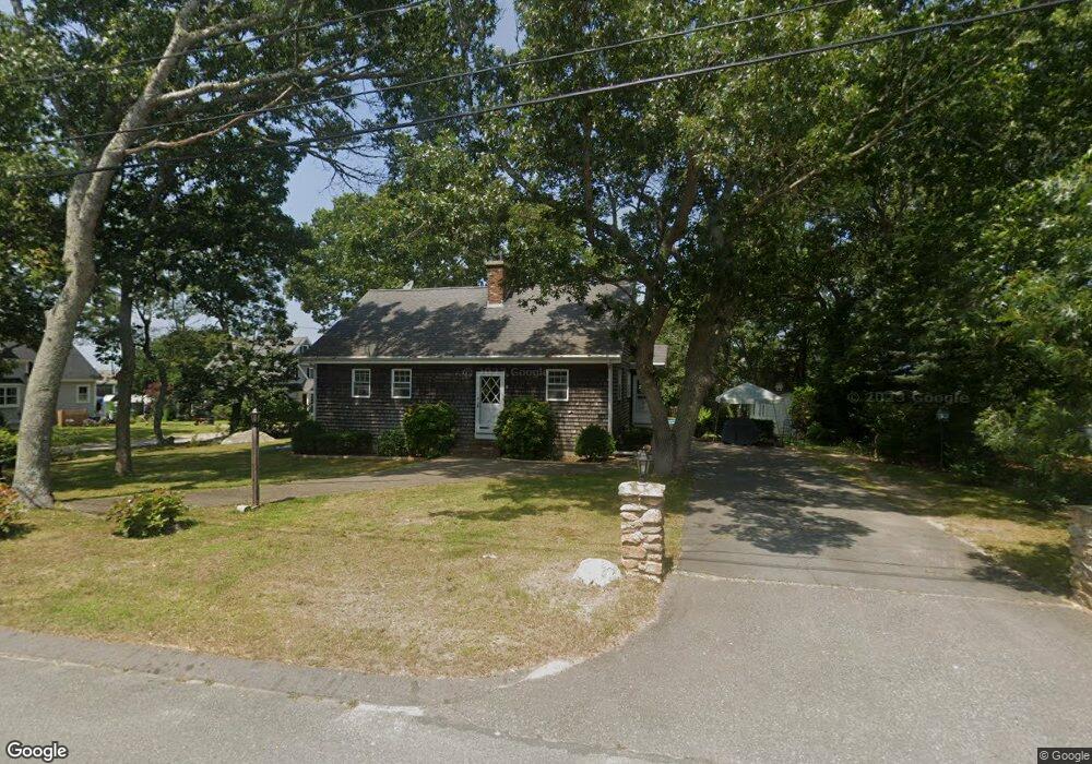
10 Cherrystone Rd Fairhaven, MA 02719
West Island NeighborhoodEstimated Value: $620,000 - $748,000
3
Beds
2
Baths
1,814
Sq Ft
$378/Sq Ft
Est. Value
About This Home
This home is located at 10 Cherrystone Rd, Fairhaven, MA 02719 and is currently estimated at $684,936, approximately $377 per square foot. 10 Cherrystone Rd is a home located in Bristol County with nearby schools including Fairhaven High School.
Ownership History
Date
Name
Owned For
Owner Type
Purchase Details
Closed on
Dec 16, 2021
Sold by
May Sheila R and May Alexander T
Bought by
Alexander Thomas May 2001
Current Estimated Value
Purchase Details
Closed on
Nov 17, 2017
Sold by
Drew David B Est
Bought by
May Sheila R
Home Financials for this Owner
Home Financials are based on the most recent Mortgage that was taken out on this home.
Original Mortgage
$308,000
Interest Rate
3.85%
Mortgage Type
New Conventional
Purchase Details
Closed on
Nov 7, 1966
Bought by
Drew David B
Create a Home Valuation Report for This Property
The Home Valuation Report is an in-depth analysis detailing your home's value as well as a comparison with similar homes in the area
Home Values in the Area
Average Home Value in this Area
Purchase History
| Date | Buyer | Sale Price | Title Company |
|---|---|---|---|
| Alexander Thomas May 2001 | -- | None Available | |
| May Sheila R | -- | -- | |
| Drew David B | -- | -- |
Source: Public Records
Mortgage History
| Date | Status | Borrower | Loan Amount |
|---|---|---|---|
| Previous Owner | May Sheila R | $308,000 |
Source: Public Records
Tax History
| Year | Tax Paid | Tax Assessment Tax Assessment Total Assessment is a certain percentage of the fair market value that is determined by local assessors to be the total taxable value of land and additions on the property. | Land | Improvement |
|---|---|---|---|---|
| 2025 | $45 | $479,100 | $248,400 | $230,700 |
| 2024 | $4,310 | $467,000 | $248,400 | $218,600 |
| 2023 | $3,970 | $399,000 | $214,300 | $184,700 |
| 2022 | $3,803 | $372,100 | $195,200 | $176,900 |
| 2021 | $3,692 | $327,000 | $177,500 | $149,500 |
| 2020 | $3,617 | $327,000 | $177,500 | $149,500 |
| 2019 | $3,378 | $289,500 | $152,100 | $137,400 |
| 2018 | $3,668 | $275,100 | $144,700 | $130,400 |
| 2017 | $3,213 | $266,900 | $139,200 | $127,700 |
| 2016 | $3,180 | $261,100 | $136,500 | $124,600 |
| 2015 | $3,050 | $251,000 | $136,500 | $114,500 |
Source: Public Records
Map
Nearby Homes
- 151 Balsam St
- 871 Sconticut Neck Rd
- 8 Sunset Beach Rd
- 28 Brant Beach Ave
- 5 Reservation Rd
- 0 Marina Dr Unit 72497908
- 0 Marina Dr Unit 72497877
- 20 Nantucket Dr
- 190 Sconticut Neck Rd
- 3.5 Golf St
- 15 Bayview Ave
- 15 Bay View Avenue ms
- 27 Bayview Ave
- 41 Starboard Way
- 58 Bayview Ave
- 0 Harbor Acres Ln - Lot B
- 0 Whalers Way
- 00 Huttleston Ave
- 3 Earle St
- 421 Huttleston Ave
- 14 Cherrystone Rd
- 0 Cherrystone Unit 72776665
- 193 Cottonwood St
- 15 Cherrystone Rd
- 6 Cherrystone Rd
- 194 Cottonwood St
- 194 Dogwood St
- 190 Cottonwood St
- 190 Cottonwood St
- 19 Cherrystone Rd
- 183 Balsam St
- 185 Balsam St
- 187 Balsam St
- 196 Dogwood St
- 20 Cherrystone Rd
- 189 Dogwood St
- 189 Dogwood St
- 21 Cherrystone Rd
- 5 Cherrystone Rd
- 5 Cherrystone Rd Unit Cottage
Your Personal Tour Guide
Ask me questions while you tour the home.