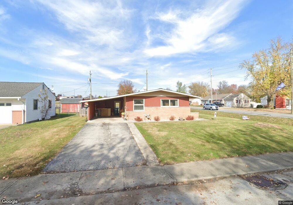
10 Circle Dr Mooresville, IN 46158
Estimated Value: $164,000 - $204,000
3
Beds
2
Baths
1,040
Sq Ft
$176/Sq Ft
Est. Value
About This Home
This home is located at 10 Circle Dr, Mooresville, IN 46158 and is currently estimated at $182,555, approximately $175 per square foot. 10 Circle Dr is a home located in Morgan County with nearby schools including Mooresville High School and Mooresville Christian Academy.
Ownership History
Date
Name
Owned For
Owner Type
Purchase Details
Closed on
Dec 30, 2009
Sold by
Williams Shane B and Williams Rebecca Ruth
Bought by
Williams Rental Properties Llc
Current Estimated Value
Purchase Details
Closed on
Dec 13, 2007
Sold by
Williams Pamela
Bought by
Williams Shane B and Williams Rebecca Ruth
Purchase Details
Closed on
Mar 20, 2007
Sold by
Mulkey Angela H and Guynn Angela H
Bought by
Williams Pamela S
Purchase Details
Closed on
Jan 26, 2007
Sold by
Ingrem Christine
Bought by
Guynn Daniel D and Mulkey Angela H
Create a Home Valuation Report for This Property
The Home Valuation Report is an in-depth analysis detailing your home's value as well as a comparison with similar homes in the area
Home Values in the Area
Average Home Value in this Area
Purchase History
| Date | Buyer | Sale Price | Title Company |
|---|---|---|---|
| Williams Rental Properties Llc | -- | -- | |
| Williams Shane B | -- | -- | |
| Williams Pamela S | -- | -- | |
| Guynn Angela H | -- | -- | |
| Guynn Daniel D | -- | -- |
Source: Public Records
Tax History Compared to Growth
Tax History
| Year | Tax Paid | Tax Assessment Tax Assessment Total Assessment is a certain percentage of the fair market value that is determined by local assessors to be the total taxable value of land and additions on the property. | Land | Improvement |
|---|---|---|---|---|
| 2024 | $781 | $141,000 | $40,400 | $100,600 |
| 2023 | $729 | $141,000 | $40,400 | $100,600 |
| 2022 | $699 | $131,900 | $40,400 | $91,500 |
| 2021 | $1,363 | $102,600 | $16,800 | $85,800 |
| 2020 | $1,377 | $102,600 | $16,800 | $85,800 |
| 2019 | $1,285 | $96,600 | $16,800 | $79,800 |
| 2018 | $1,029 | $77,800 | $13,100 | $64,700 |
| 2017 | $1,010 | $76,800 | $13,100 | $63,700 |
| 2016 | $862 | $64,100 | $13,100 | $51,000 |
| 2014 | $815 | $65,000 | $13,100 | $51,900 |
| 2013 | $815 | $65,000 | $13,100 | $51,900 |
Source: Public Records
Map
Nearby Homes
- 0 E Hadley Rd Unit MBR21956464
- 79 Circle Dr
- 321 Maple Ln
- 150 Church St
- 167 Maple Ln
- 150 W Main St
- 124 S Indiana St
- 18 W High St
- 820 Morningstar Dr
- 91 North Dr
- 113 W High St
- 32 Raesta Dr
- 320 Lockerbie St
- 91 Dunn Dr
- 540 S R 267
- 0 N S R 67 Unit 21524933
- 0 N S R 67 Unit 21524902
- 1037 Delwood Dr
- 0 E Hendricks County Line Road Lot 2 Unit MBR22042067
- 1125 Delwood Dr
- 0 E Hadley Rd Unit 2944026
- 0 E Hadley Rd Unit 2943999
- 0 E Hadley Rd Unit MBR21822704
- 0 E Hadley Rd Unit 21658887
- 20 Circle Dr
- 6 Hadley St
- 30 Circle Dr
- 319 N Indiana St
- 295 N Indiana St
- 248 N Indiana St
- 16 Hadley St
- 11 Circle Dr
- 341 N Indiana St
- 321 N Indiana St
- 21 Circle Dr
- 40 Circle Dr
- 17 Hadley St
- 31 Circle Dr
- 20 Hadley St
- 33 E Carlisle St