10 Clearings Way Princeton, MA 01541
Estimated Value: $1,126,000 - $1,331,000
4
Beds
5
Baths
5,365
Sq Ft
$231/Sq Ft
Est. Value
About This Home
This home is located at 10 Clearings Way, Princeton, MA 01541 and is currently estimated at $1,237,796, approximately $230 per square foot. 10 Clearings Way is a home located in Worcester County with nearby schools including Wachusett Regional High School.
Ownership History
Date
Name
Owned For
Owner Type
Purchase Details
Closed on
Sep 13, 2019
Sold by
Handy George E and Handy Valerie A
Bought by
Johnson Susan E
Current Estimated Value
Home Financials for this Owner
Home Financials are based on the most recent Mortgage that was taken out on this home.
Original Mortgage
$720,000
Outstanding Balance
$630,664
Interest Rate
3.6%
Mortgage Type
Purchase Money Mortgage
Estimated Equity
$607,132
Purchase Details
Closed on
Aug 19, 2003
Sold by
Mclear Barbara A and Mclear Thomas S
Bought by
Handy George E and Handy Valerie A
Purchase Details
Closed on
Nov 12, 2002
Sold by
Deer Run Nt and Foster Michael W
Bought by
Mclear Thomas S and Mclear Barbara A
Home Financials for this Owner
Home Financials are based on the most recent Mortgage that was taken out on this home.
Original Mortgage
$100,000
Interest Rate
6.04%
Mortgage Type
Purchase Money Mortgage
Create a Home Valuation Report for This Property
The Home Valuation Report is an in-depth analysis detailing your home's value as well as a comparison with similar homes in the area
Home Values in the Area
Average Home Value in this Area
Purchase History
| Date | Buyer | Sale Price | Title Company |
|---|---|---|---|
| Johnson Susan E | $800,000 | -- | |
| Handy George E | $190,000 | -- | |
| Mclear Thomas S | $140,000 | -- |
Source: Public Records
Mortgage History
| Date | Status | Borrower | Loan Amount |
|---|---|---|---|
| Open | Johnson Susan E | $720,000 | |
| Previous Owner | Mclear Thomas S | $100,000 |
Source: Public Records
Tax History Compared to Growth
Tax History
| Year | Tax Paid | Tax Assessment Tax Assessment Total Assessment is a certain percentage of the fair market value that is determined by local assessors to be the total taxable value of land and additions on the property. | Land | Improvement |
|---|---|---|---|---|
| 2025 | $15,347 | $1,056,200 | $187,800 | $868,400 |
| 2024 | $14,364 | $1,023,800 | $187,800 | $836,000 |
| 2023 | $13,747 | $908,000 | $149,700 | $758,300 |
| 2022 | $13,096 | $835,200 | $149,700 | $685,500 |
| 2021 | $13,254 | $822,200 | $152,800 | $669,400 |
| 2020 | $12,476 | $787,100 | $152,800 | $634,300 |
| 2019 | $13,016 | $812,500 | $149,600 | $662,900 |
| 2018 | $12,823 | $742,100 | $148,300 | $593,800 |
| 2017 | $12,105 | $680,800 | $182,600 | $498,200 |
| 2016 | $12,118 | $680,800 | $182,600 | $498,200 |
| 2015 | $11,311 | $653,800 | $182,600 | $471,200 |
Source: Public Records
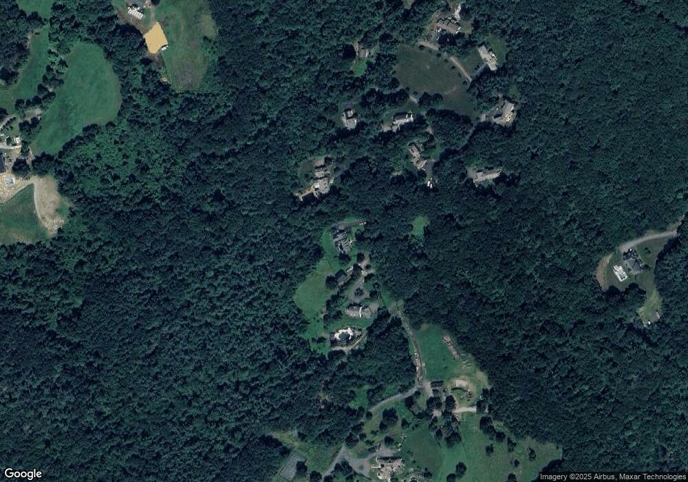
Map
Nearby Homes
- 17 Coal Kiln Rd
- 28 Merriam Rd
- 11 Mirick Rd
- 20 Mountain Rd
- 100 Houghton Rd
- 58 Merriam Rd
- 20 Town Farm Rd
- 134 Mountain Rd
- 14 Oak Cir
- 751 Mason Rd
- 9 Stagecoach Rd
- 15 Stagecoach Rd
- 161 Beaman Rd
- 166 Ball Hill Rd
- 193 Justice Hill Road Cutoff
- 46 Pine Hill Rd
- 47 Pine Hill Rd
- 56 Hubbardston Rd
- 45 Neylon St
- 19 Hardscrabble Rd
- 10 Clearings Way
- 68L Sterling Rd
- 9 Clearings Way
- 9 Clearings Way
- 6 Clearings Way
- 68K Sterling Rd
- 68C Sterling Rd
- 12 Clearings Way
- 68E Sterling Rd
- 68 Sterling Rd
- 7 Clearings Way
- 7 Clearings Way Unit 1
- 68J Sterling Rd
- 8 Clearings Way
- 68D Sterling Rd
- 4 Clearings Way
- 68I Sterling Rd
- 32 Whitaker Ln
- 68H Sterling Rd
- 68G Sterling Rd