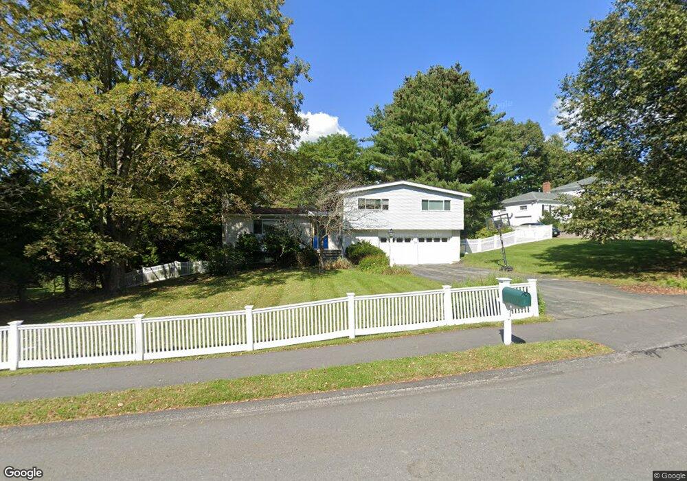
10 Clearview Dr Natick, MA 01760
Estimated Value: $1,130,198 - $1,504,000
5
Beds
4
Baths
1,726
Sq Ft
$747/Sq Ft
Est. Value
About This Home
This home is located at 10 Clearview Dr, Natick, MA 01760 and is currently estimated at $1,289,800, approximately $747 per square foot. 10 Clearview Dr is a home located in Middlesex County with nearby schools including Natick High School, Memorial Elementary School, and J F Kennedy Middle School.
Ownership History
Date
Name
Owned For
Owner Type
Purchase Details
Closed on
Mar 23, 2001
Sold by
Blander Diane C and Blander Charles P
Bought by
Zippel Richard E and Shimshoni Avigail
Current Estimated Value
Home Financials for this Owner
Home Financials are based on the most recent Mortgage that was taken out on this home.
Original Mortgage
$421,600
Outstanding Balance
$152,483
Interest Rate
6.93%
Mortgage Type
Purchase Money Mortgage
Estimated Equity
$1,137,317
Create a Home Valuation Report for This Property
The Home Valuation Report is an in-depth analysis detailing your home's value as well as a comparison with similar homes in the area
Home Values in the Area
Average Home Value in this Area
Purchase History
| Date | Buyer | Sale Price | Title Company |
|---|---|---|---|
| Zippel Richard E | $527,000 | -- |
Source: Public Records
Mortgage History
| Date | Status | Borrower | Loan Amount |
|---|---|---|---|
| Open | Zippel Richard E | $421,600 | |
| Previous Owner | Zippel Richard E | $76,500 | |
| Previous Owner | Zippel Richard E | $90,000 | |
| Previous Owner | Zippel Richard E | $125,000 |
Source: Public Records
Tax History
| Year | Tax Paid | Tax Assessment Tax Assessment Total Assessment is a certain percentage of the fair market value that is determined by local assessors to be the total taxable value of land and additions on the property. | Land | Improvement |
|---|---|---|---|---|
| 2025 | $12,557 | $1,049,900 | $517,600 | $532,300 |
| 2024 | $12,090 | $986,100 | $489,000 | $497,100 |
| 2023 | $11,672 | $923,400 | $454,100 | $469,300 |
| 2022 | $11,336 | $849,800 | $408,900 | $440,900 |
| 2021 | $10,843 | $796,700 | $386,500 | $410,200 |
| 2020 | $10,614 | $779,900 | $369,700 | $410,200 |
| 2019 | $9,913 | $779,900 | $369,700 | $410,200 |
| 2018 | $9,824 | $752,800 | $352,900 | $399,900 |
| 2017 | $9,912 | $734,800 | $342,100 | $392,700 |
| 2016 | $9,921 | $731,100 | $342,100 | $389,000 |
| 2015 | $9,649 | $698,200 | $342,100 | $356,100 |
Source: Public Records
Map
Nearby Homes
- 81 Woodland St
- 2 Arrow Path
- 75 Cottage St
- 54 Union St
- 4 Chester St
- 11 Avon St
- 2 Chester St
- 125 Union St
- 9 Sherman St
- 14 Pinewood Ave
- 10 Lincoln St Unit 10
- 6A Lincoln St Unit 6A
- 3A Wilson St Unit 3A
- 67 E Central St & 5 Union St
- 4B Lincoln St Unit 4B
- 12 Floral Ave
- 3 Wilson St Unit 3B
- 6 Floral Avenue Extension
- 216-218 S Main St
- 104 Eliot St
- 8 Clearview Dr
- 12 Clearview Dr
- Lot 8 Clearview Dr
- 14 Clearview Dr
- 6 Clearview Dr
- 3 Juniper Ln
- 11 Clearview Dr
- 15 Clearview Dr
- 16 Clearview Dr
- 4 Juniper Ln
- 8 Sundance Way
- 17 Clearview Dr
- 4 Clearview Dr
- 6 Sundance Way
- 7 Sundance Way
- 1 Buckskin Ln
- 1 Sundance Way
- 5 Clearview Dr
- 78 Woodland St
- 76 Woodland St
Your Personal Tour Guide
Ask me questions while you tour the home.