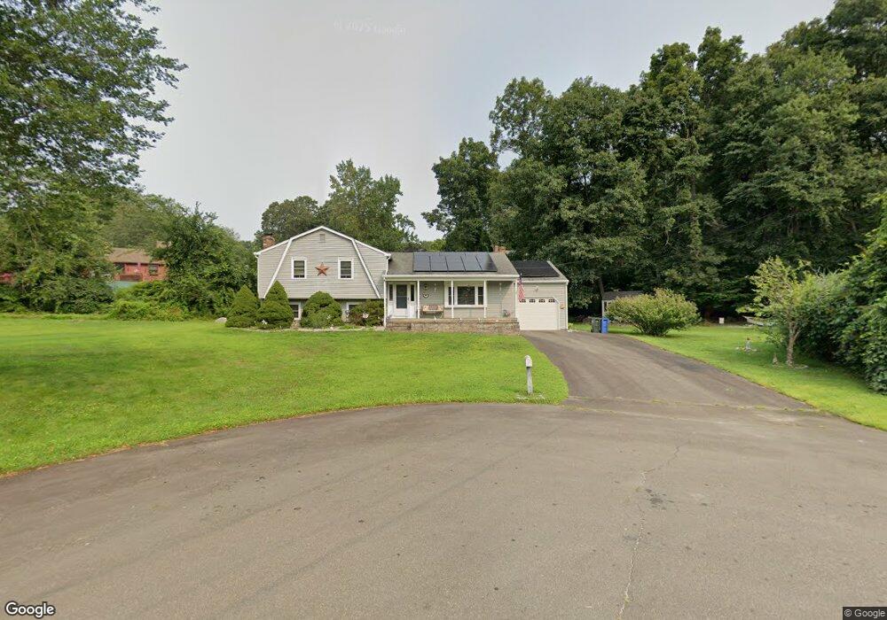
10 Clover Rd Clinton, CT 06413
Estimated Value: $442,000 - $466,000
3
Beds
2
Baths
1,376
Sq Ft
$332/Sq Ft
Est. Value
About This Home
This home is located at 10 Clover Rd, Clinton, CT 06413 and is currently estimated at $457,007, approximately $332 per square foot. 10 Clover Rd is a home located in Middlesex County with nearby schools including Lewin G. Joel Jr. School and The Morgan School.
Ownership History
Date
Name
Owned For
Owner Type
Purchase Details
Closed on
Apr 26, 1993
Sold by
Cipko Edward C
Bought by
Cipko Rose Marie
Current Estimated Value
Home Financials for this Owner
Home Financials are based on the most recent Mortgage that was taken out on this home.
Original Mortgage
$55,000
Interest Rate
7.25%
Mortgage Type
Purchase Money Mortgage
Create a Home Valuation Report for This Property
The Home Valuation Report is an in-depth analysis detailing your home's value as well as a comparison with similar homes in the area
Home Values in the Area
Average Home Value in this Area
Purchase History
| Date | Buyer | Sale Price | Title Company |
|---|---|---|---|
| Cipko Rose Marie | $45,000 | -- | |
| Cipko Rose Marie | $45,000 | -- |
Source: Public Records
Mortgage History
| Date | Status | Borrower | Loan Amount |
|---|---|---|---|
| Open | Cipko Rose Marie | $50,000 | |
| Closed | Cipko Rose Marie | $55,000 |
Source: Public Records
Tax History
| Year | Tax Paid | Tax Assessment Tax Assessment Total Assessment is a certain percentage of the fair market value that is determined by local assessors to be the total taxable value of land and additions on the property. | Land | Improvement |
|---|---|---|---|---|
| 2025 | $6,259 | $201,000 | $57,100 | $143,900 |
| 2024 | $6,082 | $201,000 | $57,100 | $143,900 |
| 2023 | $5,996 | $201,000 | $57,100 | $143,900 |
| 2022 | $5,996 | $201,000 | $57,100 | $143,900 |
| 2021 | $5,939 | $199,100 | $62,500 | $136,600 |
| 2020 | $6,222 | $199,100 | $62,500 | $136,600 |
| 2019 | $6,222 | $199,100 | $62,500 | $136,600 |
| 2018 | $6,081 | $199,100 | $62,500 | $136,600 |
| 2017 | $5,955 | $199,100 | $62,500 | $136,600 |
| 2016 | $5,404 | $199,100 | $62,500 | $136,600 |
| 2015 | $5,193 | $194,000 | $65,200 | $128,800 |
| 2014 | $5,096 | $194,000 | $65,200 | $128,800 |
Source: Public Records
Map
Nearby Homes
- 6 Evergreen Dr
- 19 Evergreen Dr
- 12 Nutmeg Dr
- 0 Fairy Dell Rd
- 59 Old Post Rd Unit F1
- 37 Nolin Rd
- 407 Grove Beach Rd N
- 151 E Main St Unit 12
- 0 151 - 153 East Main St Unit 15
- 0 151 - 153 East Main St Unit 14
- 0 151 - 153 East Main St Unit 17
- 0 151 - 153 East Main St Unit 16
- 0 151 - 153 East Main St Unit 18
- 153 E Main St Unit 10
- 153 E Main St Unit 13
- 153 E Main St Unit 31
- 153 E Main St Unit 8
- 153 E Main St Unit 9
- 153 E Main St Unit 6
- 153 E Main St Unit 7
Your Personal Tour Guide
Ask me questions while you tour the home.