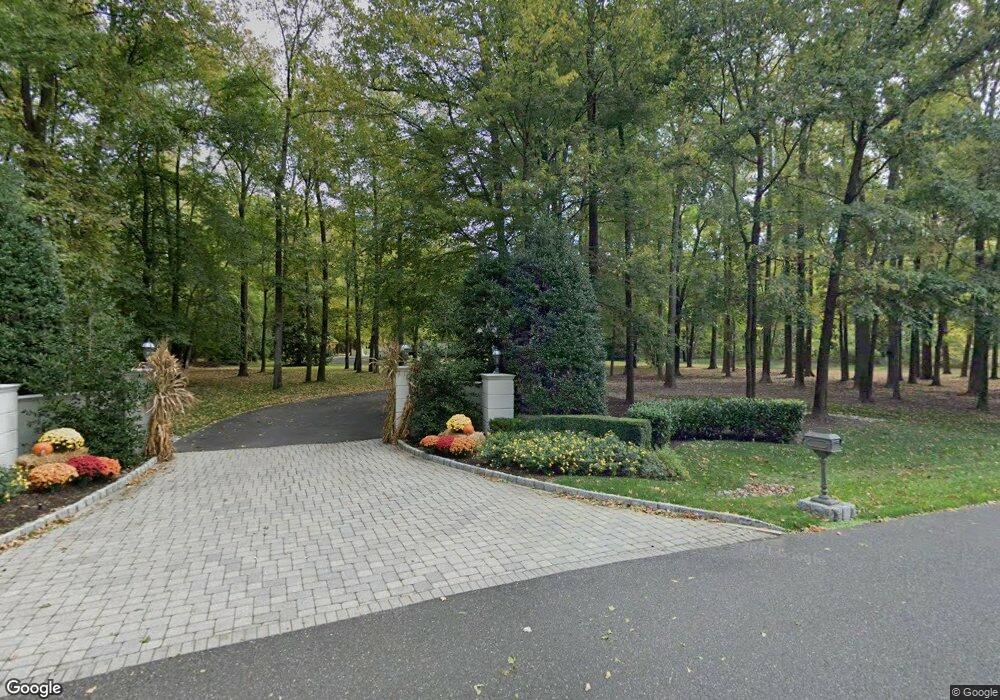
10 Cobblestone Ct Moorestown, NJ 08057
Estimated Value: $2,295,000 - $3,161,000
--
Bed
--
Bath
7,674
Sq Ft
$337/Sq Ft
Est. Value
About This Home
This home is located at 10 Cobblestone Ct, Moorestown, NJ 08057 and is currently estimated at $2,587,704, approximately $337 per square foot. 10 Cobblestone Ct is a home located in Burlington County with nearby schools including George C. Baker Elementary School, Moorestown Upper Elementary School, and William Allen Middle School.
Ownership History
Date
Name
Owned For
Owner Type
Purchase Details
Closed on
May 17, 2012
Sold by
Hovnanian Peter J
Bought by
Hovnanian Theresa
Current Estimated Value
Create a Home Valuation Report for This Property
The Home Valuation Report is an in-depth analysis detailing your home's value as well as a comparison with similar homes in the area
Home Values in the Area
Average Home Value in this Area
Purchase History
| Date | Buyer | Sale Price | Title Company |
|---|---|---|---|
| Hovnanian Theresa | -- | None Available |
Source: Public Records
Tax History Compared to Growth
Tax History
| Year | Tax Paid | Tax Assessment Tax Assessment Total Assessment is a certain percentage of the fair market value that is determined by local assessors to be the total taxable value of land and additions on the property. | Land | Improvement |
|---|---|---|---|---|
| 2025 | $54,856 | $1,933,600 | $471,700 | $1,461,900 |
| 2024 | $53,193 | $1,933,600 | $471,700 | $1,461,900 |
| 2023 | $53,193 | $1,933,600 | $471,700 | $1,461,900 |
| 2022 | $52,652 | $1,933,600 | $471,700 | $1,461,900 |
| 2021 | $51,956 | $1,933,600 | $471,700 | $1,461,900 |
| 2020 | $51,627 | $1,933,600 | $471,700 | $1,461,900 |
| 2019 | $50,718 | $1,933,600 | $471,700 | $1,461,900 |
| 2018 | $49,345 | $1,933,600 | $471,700 | $1,461,900 |
| 2017 | $49,771 | $1,933,600 | $471,700 | $1,461,900 |
| 2016 | $49,597 | $1,933,600 | $471,700 | $1,461,900 |
| 2015 | $48,997 | $1,933,600 | $471,700 | $1,461,900 |
| 2014 | $46,522 | $1,933,600 | $471,700 | $1,461,900 |
Source: Public Records
Map
Nearby Homes
- 415 Bridgeboro Rd
- 347 Tom Brown Rd
- 142 Fox Chase Dr
- 343 Tom Brown Rd
- 110 Kathleen Ave
- 164 Fox Chase Dr
- 4327 Bridgeboro Rd
- 7 Whitetail Ct
- 628 Windsock Way
- 139 Patricia Ave
- 693 Garwood Rd
- 128 Dorado Dr
- 863 Golf View Rd
- 744 Signal Light Rd
- 103 Congressional Ct
- 228 Aqua Ln
- 31 Cornell Dr
- 60 Notre Dame Dr
- 53 Princeton Dr
- 740 Garwood Rd
- 9 Cobblestone Ct
- 370 Tom Brown Rd
- 368 Tom Brown Rd
- 8 Cobblestone Ct
- 0 Tom Brown Rd
- 1 Cobblestone Ct
- 372 Tom Brown Rd
- 2 Cobblestone Ct
- 1005 Westfield Rd
- 1111 Haines Mill Rd
- 366 Tom Brown Rd
- 101 Fellswood Dr
- 7 Cobblestone Ct
- 6 Cobblestone Ct
- 1003 Westfield Rd
- 353 Tom Brown Rd
- 105 Fellswood Dr
- 1117 Haines Mill Rd
- 360 Tom Brown Rd
- 1025 Haines Mill Rd