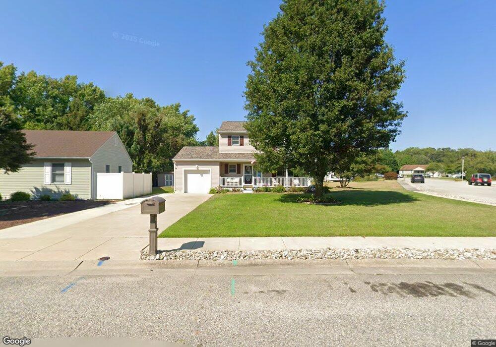
10 Cormorant Way Cape May, NJ 08204
Estimated Value: $575,249 - $664,000
--
Bed
--
Bath
1,820
Sq Ft
$332/Sq Ft
Est. Value
About This Home
This home is located at 10 Cormorant Way, Cape May, NJ 08204 and is currently estimated at $605,062, approximately $332 per square foot. 10 Cormorant Way is a home located in Cape May County with nearby schools including David C. Douglass Veterans Memorial School, Carl T. Mitnick School, and Maud Abrams School.
Ownership History
Date
Name
Owned For
Owner Type
Purchase Details
Closed on
Jun 25, 2001
Sold by
Farrell Ralph
Bought by
Osborn Robert and Osborn Colleen
Current Estimated Value
Home Financials for this Owner
Home Financials are based on the most recent Mortgage that was taken out on this home.
Original Mortgage
$119,750
Outstanding Balance
$46,149
Interest Rate
7.14%
Estimated Equity
$558,913
Create a Home Valuation Report for This Property
The Home Valuation Report is an in-depth analysis detailing your home's value as well as a comparison with similar homes in the area
Home Values in the Area
Average Home Value in this Area
Purchase History
| Date | Buyer | Sale Price | Title Company |
|---|---|---|---|
| Osborn Robert | $149,700 | -- |
Source: Public Records
Mortgage History
| Date | Status | Borrower | Loan Amount |
|---|---|---|---|
| Open | Osborn Robert | $119,750 |
Source: Public Records
Tax History Compared to Growth
Tax History
| Year | Tax Paid | Tax Assessment Tax Assessment Total Assessment is a certain percentage of the fair market value that is determined by local assessors to be the total taxable value of land and additions on the property. | Land | Improvement |
|---|---|---|---|---|
| 2025 | $5,471 | $270,300 | $117,700 | $152,600 |
| 2024 | $5,471 | $270,300 | $117,700 | $152,600 |
| 2023 | $5,384 | $270,300 | $117,700 | $152,600 |
| 2022 | $5,225 | $270,300 | $117,700 | $152,600 |
| 2021 | $5,063 | $270,300 | $117,700 | $152,600 |
| 2020 | $4,979 | $270,300 | $117,700 | $152,600 |
| 2019 | $4,860 | $270,300 | $117,700 | $152,600 |
| 2018 | $4,749 | $270,300 | $117,700 | $152,600 |
| 2017 | $4,749 | $270,300 | $117,700 | $152,600 |
| 2016 | $4,684 | $270,300 | $117,700 | $152,600 |
| 2015 | $4,536 | $270,300 | $117,700 | $152,600 |
| 2014 | $4,371 | $270,300 | $117,700 | $152,600 |
Source: Public Records
Map
Nearby Homes
- 105 Pontaxit Ave
- 210 Pontaxit Ave
- 140 Fishing Creek Rd
- 140 Fishing Creek Rd Unit 2
- 140 Fishing Creek Rd Unit 1
- 149 Fishing Creek Rd
- 158 Fishing Creek Rd
- 4 Osprey Dr
- 113 Heidi Ave
- 67 Capewoods Rd
- 3125 Hemlock Rd
- 226 Joanne St
- 120 Fishing Creek Rd
- 217 Mindy Ave
- 100 Breakwater Terrace Unit UN100
- 240 Marshall Rd
- 238 Marshall Rd
- 236 Marshall Rd
- 215 Roseann Ave
- 207 Old Mill Dr
- 8 Cormorant Way
- 3 Ringneck Ct
- 2 Ringneck Ct
- 6 Cormorant Way
- 4 Ringneck Ct
- 7 Cormorant Way
- 9 Cormorant Way
- 9 Cormorant Way Unit Mickel's Run
- 5 Ringneck Ct
- 6 Ringneck Ct
- 5 Cormorant Way
- 4 Cormorant Way
- 1 Eider Ln
- 3 Eider Ln
- 0 Cormorant Way
- 11 Cormorant Way
- 8 Ringneck Ct
- 5 Eider Ln
- 114 Breakwater Rd
- 3 Cormorant Way