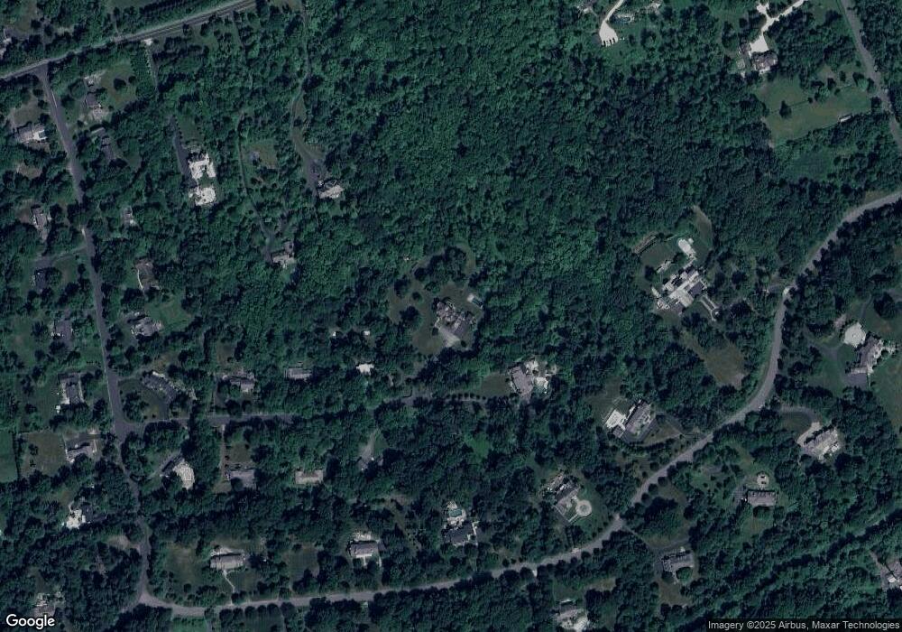
10 Cotswald Ln Princeton, NJ 08540
Estimated Value: $2,477,900 - $2,775,000
--
Bed
--
Bath
5,806
Sq Ft
$446/Sq Ft
Est. Value
About This Home
This home is located at 10 Cotswald Ln, Princeton, NJ 08540 and is currently estimated at $2,589,975, approximately $446 per square foot. 10 Cotswald Ln is a home located in Mercer County with nearby schools including Hopewell Valley Central High School, Princeton Montessori School, and Stuart Country Day School of the Sacred Heart.
Ownership History
Date
Name
Owned For
Owner Type
Purchase Details
Closed on
Oct 1, 2020
Sold by
Delorenzo John F and Delorenzo Amy L
Bought by
Wijaya Ian and Wijaya Anupa
Current Estimated Value
Home Financials for this Owner
Home Financials are based on the most recent Mortgage that was taken out on this home.
Original Mortgage
$1,475,000
Outstanding Balance
$1,311,934
Interest Rate
2.9%
Mortgage Type
New Conventional
Estimated Equity
$1,278,041
Purchase Details
Closed on
Apr 9, 2007
Sold by
Grant Homes
Bought by
Delorenzo Jojhn and Delorenzo Amy
Purchase Details
Closed on
Feb 6, 2006
Sold by
Mount Rose Hopewell Holdings L
Bought by
Grant Homes/Princeton Llc
Create a Home Valuation Report for This Property
The Home Valuation Report is an in-depth analysis detailing your home's value as well as a comparison with similar homes in the area
Home Values in the Area
Average Home Value in this Area
Purchase History
| Date | Buyer | Sale Price | Title Company |
|---|---|---|---|
| Wijaya Ian | $1,875,000 | Old Republic Title Ins Co | |
| Delorenzo Jojhn | $735,000 | -- | |
| Grant Homes/Princeton Llc | $585,000 | -- |
Source: Public Records
Mortgage History
| Date | Status | Borrower | Loan Amount |
|---|---|---|---|
| Open | Wijaya Ian | $1,475,000 |
Source: Public Records
Tax History Compared to Growth
Tax History
| Year | Tax Paid | Tax Assessment Tax Assessment Total Assessment is a certain percentage of the fair market value that is determined by local assessors to be the total taxable value of land and additions on the property. | Land | Improvement |
|---|---|---|---|---|
| 2025 | $47,920 | $1,517,900 | $633,800 | $884,100 |
| 2024 | $46,387 | $1,517,900 | $633,800 | $884,100 |
| 2023 | $46,387 | $1,517,900 | $633,800 | $884,100 |
| 2022 | $45,431 | $1,517,900 | $633,800 | $884,100 |
| 2021 | $45,273 | $1,480,000 | $633,800 | $846,200 |
| 2020 | $44,178 | $1,480,000 | $633,800 | $846,200 |
| 2019 | $45,864 | $1,575,000 | $633,800 | $941,200 |
| 2018 | $45,014 | $1,575,000 | $633,800 | $941,200 |
| 2017 | $47,482 | $1,708,000 | $633,800 | $1,074,200 |
| 2016 | $44,886 | $1,708,000 | $633,800 | $1,074,200 |
| 2015 | $45,347 | $1,708,000 | $633,800 | $1,074,200 |
| 2014 | $44,408 | $1,708,000 | $633,800 | $1,074,200 |
Source: Public Records
Map
Nearby Homes
- 13 Hageman Ln
- 21 Bogart Ct
- 82 Aunt Molly Rd
- 200 Hopewell Princeton Rd
- 198 Hopewell Princeton Rd
- 18 Katies Pond Rd
- 600 Pretty Brook Rd
- 12 Ironwood Rd
- 2 Windermere Way
- 266 Province Line Rd
- 513 Cherry Valley Rd
- 1107 Great Rd
- 6 Otter Creek Rd
- 272 Carter Rd
- 106 Palmer Rd
- 111 Howard Way
- 111 E Prospect St
- 122 Bedens Brook Rd
- 149 Highland Terrace
- 348 Cherry Valley Rd
