10 Cowan Ln Mansfield, MA 02048
Estimated Value: $858,805 - $1,032,000
4
Beds
3
Baths
2,778
Sq Ft
$340/Sq Ft
Est. Value
About This Home
This home is located at 10 Cowan Ln, Mansfield, MA 02048 and is currently estimated at $944,701, approximately $340 per square foot. 10 Cowan Ln is a home located in Bristol County with nearby schools including Everett W. Robinson Elementary School, Jordan/Jackson Elementary School, and Harold L. Qualters Middle School.
Create a Home Valuation Report for This Property
The Home Valuation Report is an in-depth analysis detailing your home's value as well as a comparison with similar homes in the area
Home Values in the Area
Average Home Value in this Area
Tax History Compared to Growth
Tax History
| Year | Tax Paid | Tax Assessment Tax Assessment Total Assessment is a certain percentage of the fair market value that is determined by local assessors to be the total taxable value of land and additions on the property. | Land | Improvement |
|---|---|---|---|---|
| 2025 | $10,412 | $790,600 | $284,400 | $506,200 |
| 2024 | $10,296 | $762,700 | $296,700 | $466,000 |
| 2023 | $9,964 | $707,200 | $296,700 | $410,500 |
| 2022 | $9,577 | $631,300 | $274,700 | $356,600 |
| 2021 | $9,076 | $590,900 | $229,000 | $361,900 |
| 2020 | $8,933 | $581,600 | $229,000 | $352,600 |
| 2019 | $8,316 | $546,400 | $190,700 | $355,700 |
| 2018 | $8,274 | $531,400 | $181,900 | $349,500 |
| 2017 | $7,765 | $517,000 | $176,800 | $340,200 |
| 2016 | $7,728 | $501,500 | $168,200 | $333,300 |
| 2015 | $7,519 | $485,100 | $168,200 | $316,900 |
Source: Public Records
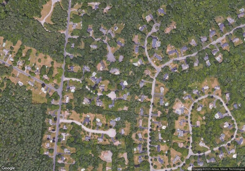
Map
Nearby Homes
- 150 Gilbert St
- 24 Maverick Dr
- 4 Buckskin Dr
- 255 Mckeon Dr
- 196 Donald Tennant Cir
- 11 Landry Ave
- 116 George St
- 115 Westfield Dr
- 176 Elm St
- 11 Buckthorn Ln
- 57 Vine St
- 451R Gilbert St
- 5 Old Wood Rd
- 2 Oak St Unit 2D
- 2 Oak St Unit 2A
- 2 Oak St Unit 2B
- Lot 5 Jeffrey Dr
- Lot 2 Jeffrey Dr
- 37 Oakleaf Dr
- 16 Treasure Island Rd