10 Cranberry Ln South Dartmouth, MA 02748
Wilburtie Corner NeighborhoodEstimated Value: $1,375,000 - $3,576,000
3
Beds
4
Baths
3,528
Sq Ft
$669/Sq Ft
Est. Value
About This Home
This home is located at 10 Cranberry Ln, South Dartmouth, MA 02748 and is currently estimated at $2,361,552, approximately $669 per square foot. 10 Cranberry Ln is a home located in Bristol County with nearby schools including Dartmouth High School, Friends Academy, and Our Sister's School.
Ownership History
Date
Name
Owned For
Owner Type
Purchase Details
Closed on
Oct 26, 2001
Sold by
Felix T
Bought by
Tushman Michael L
Current Estimated Value
Home Financials for this Owner
Home Financials are based on the most recent Mortgage that was taken out on this home.
Original Mortgage
$275,000
Outstanding Balance
$108,592
Interest Rate
6.86%
Mortgage Type
Purchase Money Mortgage
Estimated Equity
$2,252,960
Create a Home Valuation Report for This Property
The Home Valuation Report is an in-depth analysis detailing your home's value as well as a comparison with similar homes in the area
Home Values in the Area
Average Home Value in this Area
Purchase History
| Date | Buyer | Sale Price | Title Company |
|---|---|---|---|
| Tushman Michael L | $1,200,000 | -- |
Source: Public Records
Mortgage History
| Date | Status | Borrower | Loan Amount |
|---|---|---|---|
| Open | Tushman Michael L | $88,000 | |
| Open | Tushman Michael L | $275,000 | |
| Closed | Tushman Michael L | $100,000 | |
| Previous Owner | Tushman Michael L | $350,000 |
Source: Public Records
Tax History Compared to Growth
Tax History
| Year | Tax Paid | Tax Assessment Tax Assessment Total Assessment is a certain percentage of the fair market value that is determined by local assessors to be the total taxable value of land and additions on the property. | Land | Improvement |
|---|---|---|---|---|
| 2025 | $17,403 | $2,021,200 | $1,279,200 | $742,000 |
| 2024 | $17,032 | $1,960,000 | $1,252,500 | $707,500 |
| 2023 | $15,807 | $1,723,800 | $1,075,600 | $648,200 |
| 2022 | $15,890 | $1,605,100 | $1,075,600 | $529,500 |
| 2021 | $15,946 | $1,539,200 | $1,028,100 | $511,100 |
| 2020 | $15,726 | $1,515,000 | $1,028,100 | $486,900 |
| 2019 | $15,392 | $1,480,000 | $1,028,100 | $451,900 |
| 2018 | $15,300 | $1,490,600 | $1,028,100 | $462,500 |
| 2017 | $14,885 | $1,485,500 | $1,028,000 | $457,500 |
| 2016 | $14,992 | $1,475,600 | $1,012,800 | $462,800 |
| 2015 | $14,470 | $1,427,000 | $958,700 | $468,300 |
| 2014 | $13,725 | $1,344,300 | $887,100 | $457,200 |
Source: Public Records
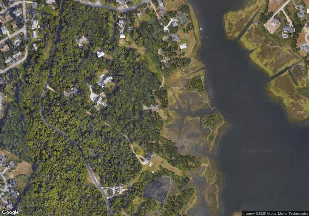
Map
Nearby Homes
- 75 Country Way Unit 75
- 3 Mishawum Dr
- 360 Russells Mills Rd
- 5 Samosett Dr
- 76 Shipyard Ln
- 34 Country Way
- 48 Wilson St
- 21 Avis St
- 6 Jacob Dr
- 212 Rockland St
- 33 Rosewood Terrace
- 29 Elizabeth Ct
- 00 Prospect St
- 10 Westview Dr
- 14 Westview Dr
- 40 School St
- 98 Mccabe St
- 248 Bakerville Rd
- 6 Walters Way
- 15 Puritan St
- 0 Cranberry Ln Unit 71250957
- 0 Cranberry Ln Unit 71479342
- 0 Cranberry Ln Unit 70375027
- 84 Star of The Sea Dr
- 128 Star of The Sea Dr
- 124 Star of The Sea Dr
- 4 Cranberry Ln
- 132 Star of The Sea Dr
- 00 Cranberry Ln
- 120 Star of The Sea Dr
- 2 Cranberry Ln
- 80 Star of The Sea Dr
- 288 Russells Mills Rd
- 282 Russells Mills Rd
- 282 Russells Mills Rd
- 136 Star of The Sea Dr
- 276 Russells Mills Rd
- 276 Russells Mills Rd Unit 1
- 281 Russells Mills Rd
- 283 Russells Mills Rd