10 Crestone Peak Ave Unit 210 Westcliffe, CO 81252
Estimated Value: $38,161 - $65,000
--
Bed
--
Bath
--
Sq Ft
35.5
Acres
About This Home
This home is located at 10 Crestone Peak Ave Unit 210, Westcliffe, CO 81252 and is currently estimated at $54,054. 10 Crestone Peak Ave Unit 210 is a home located in Custer County with nearby schools including Custer County Elementary School, Custer Middle School, and Custer County High School.
Ownership History
Date
Name
Owned For
Owner Type
Purchase Details
Closed on
Jul 10, 2020
Sold by
Legacy Land Company Llc
Bought by
Dinges Darrell D
Current Estimated Value
Purchase Details
Closed on
Dec 10, 2019
Sold by
Wilson William H
Bought by
Legacy Land Company Llc
Purchase Details
Closed on
Aug 31, 2001
Sold by
Arszman Barry Dean and Arszman Sharon Leigh
Bought by
Wilson William H
Purchase Details
Closed on
Aug 9, 1996
Sold by
Weber Barry D and Weber Sharon L
Bought by
Arszman Barry Dean and Arszman Sharon Leigh
Purchase Details
Closed on
May 9, 1991
Sold by
Kelepouris Kim M
Bought by
Weber Barry and Weber Sharon
Purchase Details
Closed on
Jun 29, 1990
Sold by
Littleton 1St Ind
Bought by
Kelepouris Kim M
Create a Home Valuation Report for This Property
The Home Valuation Report is an in-depth analysis detailing your home's value as well as a comparison with similar homes in the area
Home Values in the Area
Average Home Value in this Area
Purchase History
| Date | Buyer | Sale Price | Title Company |
|---|---|---|---|
| Dinges Darrell D | -- | None Available | |
| Dinges Darrell D | $28,000 | None Available | |
| Legacy Land Company Llc | $17,000 | Stewart Title | |
| Wilson William H | $14,500 | -- | |
| Arszman Barry Dean | -- | -- | |
| Arszman Barry Dean | -- | -- | |
| Weber Barry | $10,900 | -- | |
| Kelepouris Kim M | $4,300 | -- |
Source: Public Records
Tax History Compared to Growth
Tax History
| Year | Tax Paid | Tax Assessment Tax Assessment Total Assessment is a certain percentage of the fair market value that is determined by local assessors to be the total taxable value of land and additions on the property. | Land | Improvement |
|---|---|---|---|---|
| 2024 | $498 | $7,900 | $0 | $0 |
| 2023 | $498 | $7,900 | $0 | $0 |
| 2022 | $478 | $7,210 | $7,210 | $0 |
| 2021 | $477 | $7,210 | $7,210 | $0 |
| 2020 | $377 | $5,770 | $5,770 | $0 |
| 2019 | $375 | $5,770 | $5,770 | $0 |
| 2018 | $377 | $5,770 | $5,770 | $0 |
| 2017 | $365 | $5,765 | $5,765 | $0 |
| 2016 | $351 | $5,770 | $5,770 | $0 |
| 2015 | -- | $19,880 | $19,880 | $0 |
| 2012 | $434 | $19,880 | $19,880 | $0 |
Source: Public Records
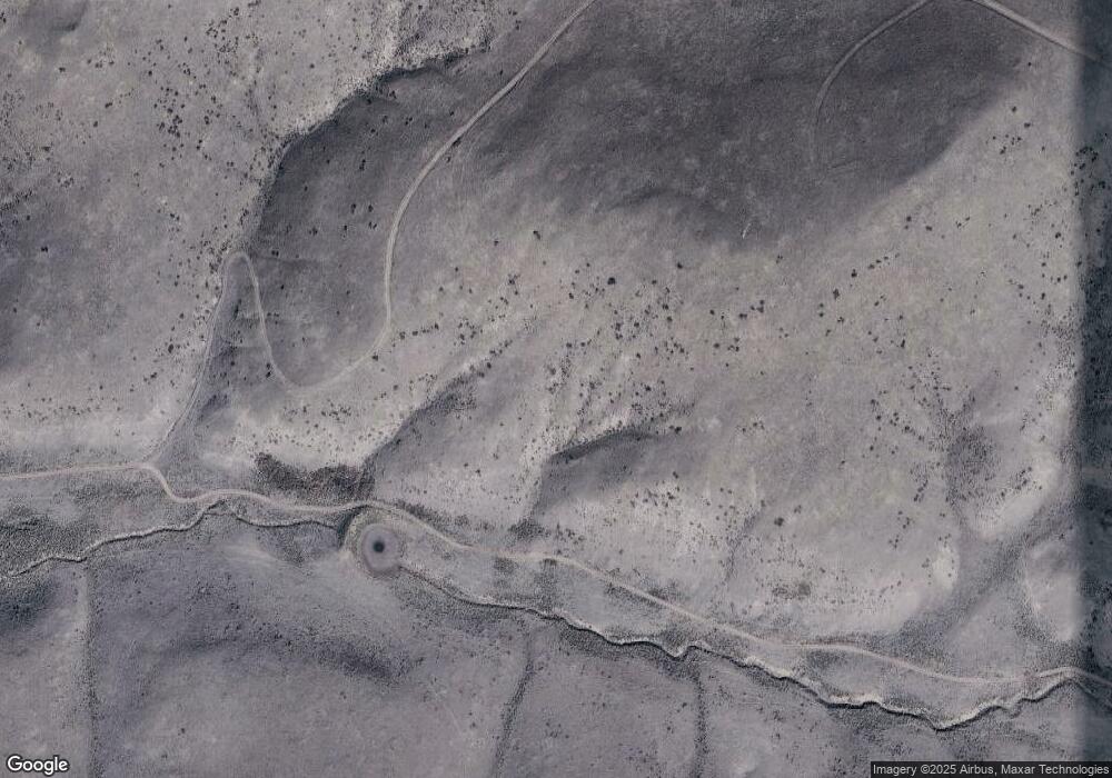
Map
Nearby Homes
- 5105 Electric Ave
- 2570 Phantom Terrace Dr
- 0 Tbd Electric Ave Unit 17121814
- 0 Tbd Electric Ave Unit 11178331
- 4970 Centennial Ranch
- 3767 Gibbs Dr
- 138 Commanche Trail
- 535 Brittany Rd
- 1225 Broken Hand Rd
- 565 Marcy
- 0 Centennial Ranch Rd Unit 2517282
- 1246 Co Rd 634 4
- 1246 County Rd 634 4
- 1865 Electric Ave
- TBDD Cr 634 4
- 1931 Commanche Trail
- TTBD Cr 634 4
- 0 Airport Rd Unit 24315618
- 0 Airport Rd Unit REC3426932
- 1610 Timber Ridge Rd
- 10 Crestone Peak Ave
- 4570 Electric Ave
- 4570 Electric Ave Unit 207
- 200 Crestone Peak Ave
- 200 Crestone Peak Ave Unit 2112
- 200 Crestone Peak Ave Unit 212
- 5200 Electric Ave
- 580 Crestone Peak Ave
- 330 Crestone Peak Ave
- 330 Crestone Peak Ave Unit 213
- 2200 Phantom Terrace Dr Unit 217
- 2200 Phantom Terrace Dr
- 000 Comanche Unit 446
- 000 Comanche Unit 19
- 0 Electric Ave Unit 7688206
- 0 Electric Ave Unit 11 81621
- 0 Electric Ave Unit 30913
- 0 Electric Ave Unit REC2487289
- 0 Electric Ave Unit REC9204437
- 0 Electric Ave Unit 202 124308