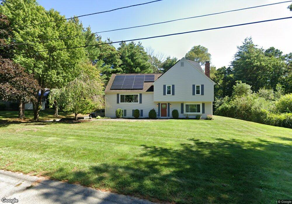
10 Crocker Pond Rd Wrentham, MA 02093
Estimated Value: $813,799 - $979,000
4
Beds
3
Baths
2,245
Sq Ft
$400/Sq Ft
Est. Value
About This Home
This home is located at 10 Crocker Pond Rd, Wrentham, MA 02093 and is currently estimated at $897,700, approximately $399 per square foot. 10 Crocker Pond Rd is a home located in Norfolk County with nearby schools including Delaney Elementary School, Charles E Roderick, and Foxborough Regional Charter School.
Ownership History
Date
Name
Owned For
Owner Type
Purchase Details
Closed on
Mar 31, 2011
Sold by
Beck John N and Beck Amy J
Bought by
Gately Bradford M and Gately Stefani M
Current Estimated Value
Home Financials for this Owner
Home Financials are based on the most recent Mortgage that was taken out on this home.
Original Mortgage
$305,000
Outstanding Balance
$212,768
Interest Rate
5.04%
Mortgage Type
Purchase Money Mortgage
Estimated Equity
$684,932
Purchase Details
Closed on
Nov 20, 1992
Sold by
Pavao Joseph F and Pavao Geraldine C
Bought by
Beck John N
Home Financials for this Owner
Home Financials are based on the most recent Mortgage that was taken out on this home.
Original Mortgage
$156,800
Interest Rate
7.95%
Mortgage Type
Purchase Money Mortgage
Create a Home Valuation Report for This Property
The Home Valuation Report is an in-depth analysis detailing your home's value as well as a comparison with similar homes in the area
Home Values in the Area
Average Home Value in this Area
Purchase History
| Date | Buyer | Sale Price | Title Company |
|---|---|---|---|
| Gately Bradford M | $410,000 | -- | |
| Beck John N | $196,000 | -- |
Source: Public Records
Mortgage History
| Date | Status | Borrower | Loan Amount |
|---|---|---|---|
| Open | Gately Bradford M | $305,000 | |
| Previous Owner | Beck John N | $156,800 |
Source: Public Records
Tax History Compared to Growth
Tax History
| Year | Tax Paid | Tax Assessment Tax Assessment Total Assessment is a certain percentage of the fair market value that is determined by local assessors to be the total taxable value of land and additions on the property. | Land | Improvement |
|---|---|---|---|---|
| 2025 | $7,950 | $685,900 | $302,100 | $383,800 |
| 2024 | $7,520 | $626,700 | $302,100 | $324,600 |
| 2023 | $7,234 | $573,200 | $274,500 | $298,700 |
| 2022 | $7,119 | $520,800 | $256,000 | $264,800 |
| 2021 | $7,440 | $528,800 | $223,400 | $305,400 |
| 2020 | $6,626 | $465,000 | $198,600 | $266,400 |
| 2019 | $6,566 | $465,000 | $198,600 | $266,400 |
| 2018 | $6,519 | $457,800 | $198,800 | $259,000 |
| 2017 | $6,415 | $450,200 | $195,000 | $255,200 |
| 2016 | $6,279 | $439,700 | $189,400 | $250,300 |
| 2015 | $5,923 | $395,400 | $166,900 | $228,500 |
| 2014 | $5,867 | $383,200 | $160,500 | $222,700 |
Source: Public Records
Map
Nearby Homes
- 65 Pond St
- 362 East St
- 1 Lorraine Metcalf Dr
- 25 Foxboro Rd
- 270 Dedham St
- 11 Goodwin Dr
- 7 Hill St Unit 10
- 10 Nature View Dr
- 15 Nature View Dr
- 483 Thurston St
- 20 Valley St Unit 20
- 71 Pond St
- 10 W Birch Rd
- 0 W Birch Rd
- 120 Hawes St
- 3 Oak Rd
- 319 Taunton St
- 246 Forest Grove Ave
- 131 Creek St Unit 7
- 11 Earle Stewart Ln
- 5 Crocker Pond Rd
- 20 Crocker Pond Rd
- 20 Meadowbrook Dr
- 25 Meadowbrook Dr
- 15 Crocker Pond Rd
- 30 Crocker Pond Rd
- 10 Meadowbrook Dr
- 30 Meadowbrook Dr
- 35 Meadowbrook Dr
- 25 Crocker Pond Rd
- 40 Crocker Pond Rd
- 40 Meadowbrook Dr
- 25 Federico Dr
- 15 Federico Dr
- 35 Crocker Pond Rd
- 636 East St
- 644 East St
- 45 Meadowbrook Dr
- 45 Meadowbrook Rd
- 612 East St