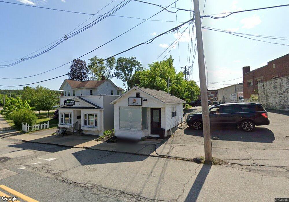
10 Cross St Whitinsville, MA 01588
Estimated Value: $153,442
--
Bed
1
Bath
273
Sq Ft
$562/Sq Ft
Est. Value
About This Home
This home is located at 10 Cross St, Whitinsville, MA 01588 and is currently estimated at $153,442, approximately $562 per square foot. 10 Cross St is a home located in Worcester County with nearby schools including Northbridge Elementary School, Northbridge Middle School, and Northbridge High School.
Ownership History
Date
Name
Owned For
Owner Type
Purchase Details
Closed on
Apr 15, 1999
Sold by
Damico Joseph A and Pialtos James
Bought by
Pialtos James
Current Estimated Value
Home Financials for this Owner
Home Financials are based on the most recent Mortgage that was taken out on this home.
Original Mortgage
$40,000
Outstanding Balance
$10,129
Interest Rate
7.04%
Mortgage Type
Purchase Money Mortgage
Estimated Equity
$143,313
Create a Home Valuation Report for This Property
The Home Valuation Report is an in-depth analysis detailing your home's value as well as a comparison with similar homes in the area
Home Values in the Area
Average Home Value in this Area
Purchase History
| Date | Buyer | Sale Price | Title Company |
|---|---|---|---|
| Pialtos James | $40,000 | -- | |
| Pialtos James | $40,000 | -- |
Source: Public Records
Mortgage History
| Date | Status | Borrower | Loan Amount |
|---|---|---|---|
| Open | Pialtos James | $40,000 | |
| Closed | Pialtos James | $40,000 |
Source: Public Records
Tax History Compared to Growth
Tax History
| Year | Tax Paid | Tax Assessment Tax Assessment Total Assessment is a certain percentage of the fair market value that is determined by local assessors to be the total taxable value of land and additions on the property. | Land | Improvement |
|---|---|---|---|---|
| 2025 | $507 | $43,000 | $24,000 | $19,000 |
| 2024 | $520 | $43,000 | $24,000 | $19,000 |
| 2023 | $557 | $43,000 | $24,000 | $19,000 |
| 2022 | $592 | $43,000 | $24,000 | $19,000 |
| 2021 | $484 | $33,400 | $17,600 | $15,800 |
| 2020 | $462 | $33,400 | $17,600 | $15,800 |
| 2019 | $433 | $33,400 | $17,600 | $15,800 |
| 2018 | $396 | $30,600 | $16,500 | $14,100 |
| 2017 | $414 | $30,600 | $16,500 | $14,100 |
| 2016 | $465 | $33,800 | $20,600 | $13,200 |
| 2015 | $452 | $33,800 | $20,600 | $13,200 |
| 2014 | $448 | $33,800 | $20,600 | $13,200 |
Source: Public Records
Map
Nearby Homes
- 18 East St Unit 24
- 128 Linwood Ave
- 1 Elm St
- 21 Granite St
- 9 Banning Dr
- 90 Nathaniel Dr
- 28-30 Haringa Ave
- 33 Crestwood Cir Unit 45
- 35 Crestwood Cir Unit 44
- 39 Crestwood Cir Unit 42
- 140 Rolling Ridge Dr Unit 78
- 159 Rolling Ridge Dr Unit 85
- 237 Heritage Dr Unit 237
- 169 Rolling Ridge Dr Unit 97
- 46 Rebecca Rd
- 192 Rebecca Rd
- 831 Providence Rd Unit 837
- 235 Rivulet St
- 86 Kingsnorth St
- 0 Louis St
- 10 Cross St
- 12 Cross St
- 120 Church
- 14 Cross St
- 14 Cross St Unit 1
- 116 Church St
- 20 Cross St
- 0 Prospect St
- 110 Church St Unit 112
- 0 Propsect St Unit 72230610
- 100 Church St
- 107 Church St Unit 109
- 109 Church St
- 107 Church St
- 107 Church St Unit 1
- 111 Church St
- 111 Church St Unit 111
- 105 Church St
- 99 Church St
- 99 Church St