10 Crown Point Windham, ME 04062
Estimated Value: $746,000 - $960,588
2
Beds
3
Baths
3,804
Sq Ft
$213/Sq Ft
Est. Value
About This Home
This home is located at 10 Crown Point, Windham, ME 04062 and is currently estimated at $810,897, approximately $213 per square foot. 10 Crown Point is a home located in Cumberland County with nearby schools including Windham Primary School, Manchester School, and Windham Middle School.
Ownership History
Date
Name
Owned For
Owner Type
Purchase Details
Closed on
Mar 14, 2022
Sold by
Diamond William G and Daimond Jane E
Bought by
Daimoand Jane E
Current Estimated Value
Purchase Details
Closed on
Oct 4, 2021
Sold by
Diamond G William G and Diamond Jane E
Bought by
Diamond G William G and Diamond Jane E
Purchase Details
Closed on
Jul 8, 2009
Sold by
Dyke Jeffrey E and Dyke Gail
Bought by
Diamond George William and Diamond Jane E
Home Financials for this Owner
Home Financials are based on the most recent Mortgage that was taken out on this home.
Original Mortgage
$340,000
Interest Rate
4.93%
Mortgage Type
Unknown
Create a Home Valuation Report for This Property
The Home Valuation Report is an in-depth analysis detailing your home's value as well as a comparison with similar homes in the area
Home Values in the Area
Average Home Value in this Area
Purchase History
| Date | Buyer | Sale Price | Title Company |
|---|---|---|---|
| Daimoand Jane E | -- | None Available | |
| Diamond G William G | -- | None Available | |
| Diamond George William | -- | -- |
Source: Public Records
Mortgage History
| Date | Status | Borrower | Loan Amount |
|---|---|---|---|
| Previous Owner | Diamond George William | $150,000 | |
| Previous Owner | Diamond George William | $150,000 | |
| Previous Owner | Diamond George William | $340,000 |
Source: Public Records
Tax History
| Year | Tax Paid | Tax Assessment Tax Assessment Total Assessment is a certain percentage of the fair market value that is determined by local assessors to be the total taxable value of land and additions on the property. | Land | Improvement |
|---|---|---|---|---|
| 2024 | $10,458 | $911,800 | $183,900 | $727,900 |
| 2023 | $9,596 | $856,800 | $170,900 | $685,900 |
| 2022 | $8,680 | $747,600 | $144,400 | $603,200 |
| 2021 | $7,846 | $622,700 | $115,800 | $506,900 |
| 2020 | $8,217 | $547,800 | $95,300 | $452,500 |
| 2019 | $8,020 | $547,800 | $95,300 | $452,500 |
| 2018 | $7,696 | $507,000 | $88,000 | $419,000 |
| 2017 | $7,619 | $463,700 | $78,700 | $385,000 |
| 2016 | $6,977 | $444,400 | $78,700 | $365,700 |
| 2015 | $6,733 | $444,400 | $78,700 | $365,700 |
| 2014 | $6,373 | $444,400 | $78,700 | $365,700 |
| 2013 | -- | $444,400 | $78,700 | $365,700 |
Source: Public Records
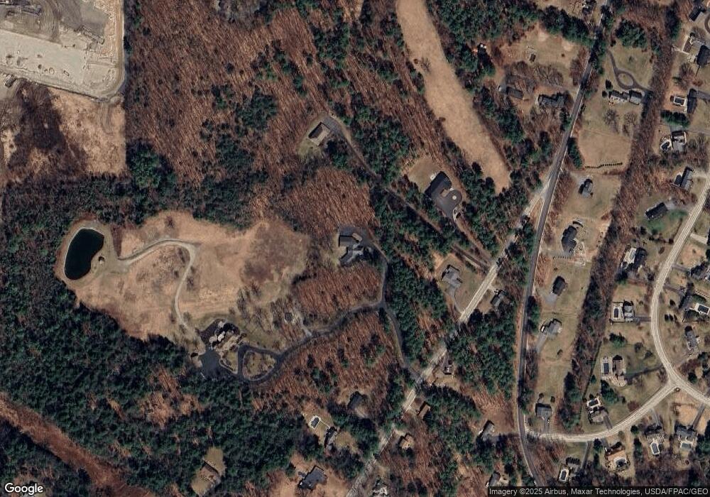
Map
Nearby Homes
- 4 Monique Dr
- 763 River Rd
- 6 Dolley Farm Rd Unit 6
- 81 Hall Rd
- 7 Aquatic Way Unit 7
- 32 Middle Jam Rd
- 404 Pope Rd
- 18 Cook Rd
- 324 Roosevelt Trail
- 5 Cardinal Ln
- 215 N Gorham Rd
- 594 River Rd
- 55 Page Rd
- Lot 5 N Gorham Rd
- 8 Beaulieu Dr
- 15 Read Rd
- 17 Inland Farm Rd
- 0 Turning Leaf Dr Unit 1640377
- 2 Aerie Dr
- 7 Magnolia Ln Unit 2