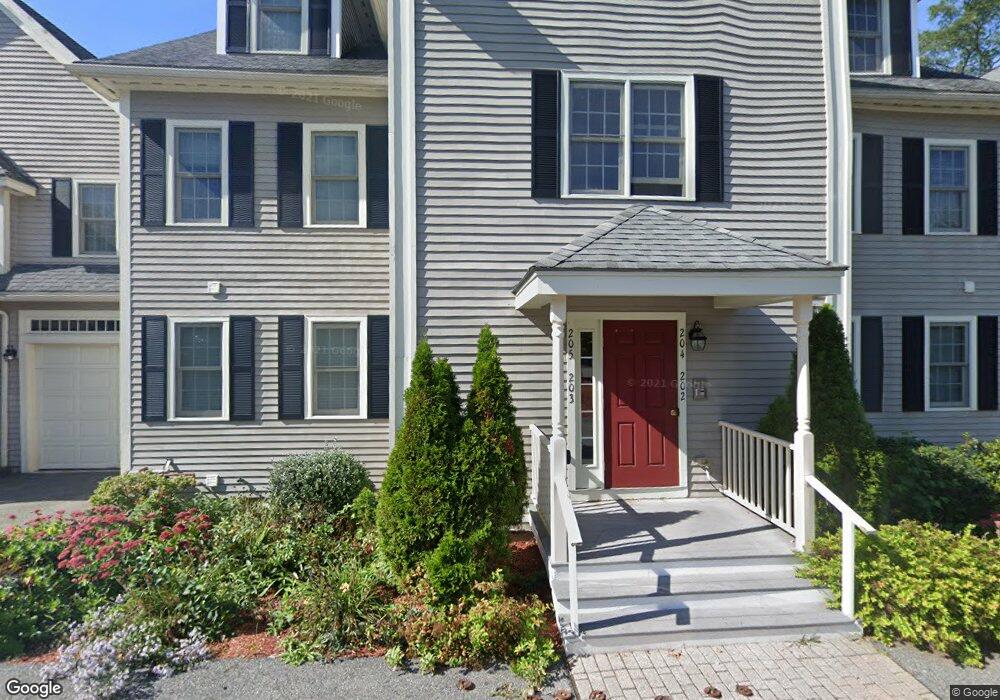
10 Cunningham Ln Unit 106 Billerica, MA 01821
Estimated Value: $495,000 - $632,000
--
Bed
2
Baths
1,450
Sq Ft
$378/Sq Ft
Est. Value
About This Home
This home is located at 10 Cunningham Ln Unit 106, Billerica, MA 01821 and is currently estimated at $548,781, approximately $378 per square foot. 10 Cunningham Ln Unit 106 is a home located in Middlesex County with nearby schools including Billerica Memorial High School.
Ownership History
Date
Name
Owned For
Owner Type
Purchase Details
Closed on
Oct 20, 2006
Sold by
Cunningham Lane Rt
Bought by
Johnson Kimberly J
Current Estimated Value
Home Financials for this Owner
Home Financials are based on the most recent Mortgage that was taken out on this home.
Original Mortgage
$295,200
Outstanding Balance
$176,444
Interest Rate
6.49%
Mortgage Type
Purchase Money Mortgage
Estimated Equity
$372,337
Create a Home Valuation Report for This Property
The Home Valuation Report is an in-depth analysis detailing your home's value as well as a comparison with similar homes in the area
Home Values in the Area
Average Home Value in this Area
Purchase History
| Date | Buyer | Sale Price | Title Company |
|---|---|---|---|
| Johnson Kimberly J | $369,000 | -- |
Source: Public Records
Mortgage History
| Date | Status | Borrower | Loan Amount |
|---|---|---|---|
| Open | Johnson Kimberly J | $295,200 |
Source: Public Records
Tax History Compared to Growth
Tax History
| Year | Tax Paid | Tax Assessment Tax Assessment Total Assessment is a certain percentage of the fair market value that is determined by local assessors to be the total taxable value of land and additions on the property. | Land | Improvement |
|---|---|---|---|---|
| 2025 | $5,733 | $504,200 | $0 | $504,200 |
| 2024 | $5,341 | $473,100 | $0 | $473,100 |
| 2023 | $5,371 | $452,500 | $0 | $452,500 |
| 2022 | $5,252 | $415,500 | $0 | $415,500 |
| 2021 | $5,240 | $403,100 | $0 | $403,100 |
| 2020 | $5,290 | $407,200 | $0 | $407,200 |
| 2019 | $4,897 | $363,300 | $0 | $363,300 |
| 2018 | $4,822 | $339,800 | $0 | $339,800 |
| 2017 | $4,755 | $337,500 | $0 | $337,500 |
| 2016 | $4,772 | $337,500 | $0 | $337,500 |
| 2015 | $4,452 | $317,100 | $0 | $317,100 |
| 2014 | $4,690 | $328,200 | $0 | $328,200 |
Source: Public Records
Map
Nearby Homes
- 22 Kenmar Dr Unit 194Y
- 14 Kenmar Dr Unit 111
- 10 Charnstaff Ln Unit 204
- 2 Karen Cir Unit 2
- 5 Karen Cir Unit 16
- 1 Purcell Dr
- 405 Boston Rd Unit 2
- 19 Parker St
- 396 Boston Rd Unit 103
- 454 Middlesex Turnpike
- 37 Porter St
- 14 Elsie Ave
- 8 Swan Ln
- 463 Middlesex Turnpike
- 481 Middlesex Turnpike
- 483 Middlesex Turnpike
- 10 Avondale Ave
- 8 Water St
- 86 Lexington Rd
- 88 Lexington Rd
- 10 Cunningham Ln Unit 203
- 10 Cunningham Ln Unit 202
- 10 Cunningham Ln Unit 201
- 10 Cunningham Ln Unit 105
- 10 Cunningham Ln Unit 104
- 10 Cunningham Ln Unit 103
- 10 Cunningham Ln Unit 102
- 10 Cunningham Ln Unit 205
- 10 Cunningham Ln Unit 204
- 10 Cunningham Ln Unit 101
- 18 Kenmar Dr Unit 168
- 18 Kenmar Dr Unit 167
- 18 Kenmar Dr Unit 166
- 18 Kenmar Dr Unit 165
- 18 Kenmar Dr Unit 164
- 18 Kenmar Dr Unit 163
- 18 Kenmar Dr Unit 162
- 18 Kenmar Dr Unit 161
- 18 Kenmar Dr Unit 160
- 18 Kenmar Dr Unit 159