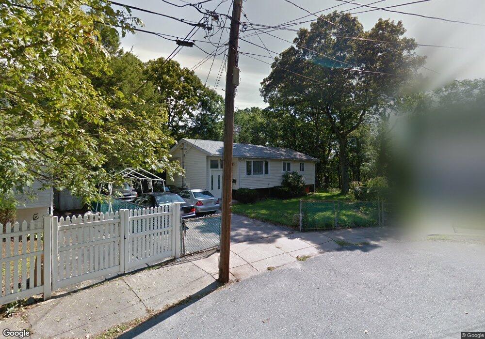
10 Daniel Ct Hyde Park, MA 02136
Hyde Park NeighborhoodEstimated Value: $632,000 - $708,000
3
Beds
3
Baths
1,781
Sq Ft
$368/Sq Ft
Est. Value
About This Home
This home is located at 10 Daniel Ct, Hyde Park, MA 02136 and is currently estimated at $654,636, approximately $367 per square foot. 10 Daniel Ct is a home located in Suffolk County with nearby schools including Academy of the Pacific Rim Charter Public School, New Beginnings Academy, and Boston Trinity Academy.
Ownership History
Date
Name
Owned For
Owner Type
Purchase Details
Closed on
Aug 26, 1992
Sold by
Morris Harium J and Martin Linda E
Bought by
Michel Jean-Claude and Michel Olga
Current Estimated Value
Home Financials for this Owner
Home Financials are based on the most recent Mortgage that was taken out on this home.
Original Mortgage
$93,500
Interest Rate
8.09%
Mortgage Type
Purchase Money Mortgage
Create a Home Valuation Report for This Property
The Home Valuation Report is an in-depth analysis detailing your home's value as well as a comparison with similar homes in the area
Home Values in the Area
Average Home Value in this Area
Purchase History
| Date | Buyer | Sale Price | Title Company |
|---|---|---|---|
| Michel Jean-Claude | $110,000 | -- |
Source: Public Records
Mortgage History
| Date | Status | Borrower | Loan Amount |
|---|---|---|---|
| Open | Michel Jean-Claude | $80,000 | |
| Closed | Michel Jean-Claude | $93,500 | |
| Previous Owner | Michel Jean-Claude | $20,000 |
Source: Public Records
Tax History
| Year | Tax Paid | Tax Assessment Tax Assessment Total Assessment is a certain percentage of the fair market value that is determined by local assessors to be the total taxable value of land and additions on the property. | Land | Improvement |
|---|---|---|---|---|
| 2025 | $5,539 | $478,300 | $195,300 | $283,000 |
| 2024 | $5,203 | $477,300 | $198,900 | $278,400 |
| 2023 | $4,789 | $445,900 | $185,800 | $260,100 |
| 2022 | $4,411 | $405,400 | $168,900 | $236,500 |
| 2021 | $3,945 | $369,700 | $160,900 | $208,800 |
| 2020 | $3,758 | $355,900 | $140,700 | $215,200 |
| 2019 | $3,346 | $317,500 | $125,900 | $191,600 |
| 2018 | $3,327 | $317,500 | $125,900 | $191,600 |
| 2017 | $3,362 | $317,500 | $125,900 | $191,600 |
| 2016 | $3,493 | $317,500 | $125,900 | $191,600 |
| 2015 | $3,243 | $267,800 | $115,500 | $152,300 |
| 2014 | $3,369 | $267,800 | $115,500 | $152,300 |
Source: Public Records
Map
Nearby Homes
- 38 Joan Rd
- 1 Belnap Rd
- 38 Fleming St
- 4-6 Sunnyside St
- 5 Lewis Farm Rd
- 19 Lewis Ln
- 1816 River St
- 1864 River St
- 76 Business St
- 1905 River St Unit 1905
- 1896 River St
- 1892 River St
- 71 Readville St Unit B
- 71 Readville St Unit A
- 71 Vallaro Rd
- 14 Winter St
- 7 S Stone Mill Dr Unit 403
- 12 Norton St
- 000 Danny Rd
- 51 Como Rd
Your Personal Tour Guide
Ask me questions while you tour the home.