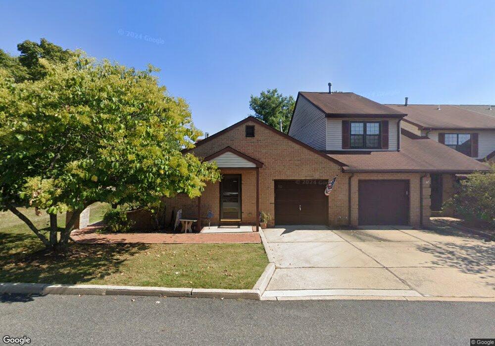
10 Daniel Ct Lebanon, NJ 08833
Estimated Value: $370,361 - $445,000
--
Bed
--
Bath
1,308
Sq Ft
$311/Sq Ft
Est. Value
About This Home
This home is located at 10 Daniel Ct, Lebanon, NJ 08833 and is currently estimated at $406,340, approximately $310 per square foot. 10 Daniel Ct is a home located in Hunterdon County with nearby schools including Lebanon Borough School, North Hunterdon High School, and The Goddard School - Clinton.
Ownership History
Date
Name
Owned For
Owner Type
Purchase Details
Closed on
Mar 29, 2000
Sold by
Manetta Steven M
Bought by
Zangari Betty
Current Estimated Value
Home Financials for this Owner
Home Financials are based on the most recent Mortgage that was taken out on this home.
Original Mortgage
$145,426
Outstanding Balance
$50,431
Interest Rate
8.4%
Mortgage Type
FHA
Estimated Equity
$355,909
Purchase Details
Closed on
Dec 5, 1996
Sold by
Manetta Edgar J and Manetta Louise M
Bought by
Manetta Steven M and Manetta Joy M
Home Financials for this Owner
Home Financials are based on the most recent Mortgage that was taken out on this home.
Original Mortgage
$127,500
Interest Rate
7.36%
Mortgage Type
VA
Purchase Details
Closed on
Sep 25, 1991
Sold by
Foster Jerry A and Foster Susan M
Bought by
Manetta Edgar J and Manetta Louise M
Create a Home Valuation Report for This Property
The Home Valuation Report is an in-depth analysis detailing your home's value as well as a comparison with similar homes in the area
Home Values in the Area
Average Home Value in this Area
Purchase History
| Date | Buyer | Sale Price | Title Company |
|---|---|---|---|
| Zangari Betty | $146,500 | -- | |
| Manetta Steven M | $125,000 | -- | |
| Manetta Edgar J | $103,000 | -- |
Source: Public Records
Mortgage History
| Date | Status | Borrower | Loan Amount |
|---|---|---|---|
| Open | Zangari Betty | $145,426 | |
| Previous Owner | Manetta Steven M | $127,500 |
Source: Public Records
Tax History Compared to Growth
Tax History
| Year | Tax Paid | Tax Assessment Tax Assessment Total Assessment is a certain percentage of the fair market value that is determined by local assessors to be the total taxable value of land and additions on the property. | Land | Improvement |
|---|---|---|---|---|
| 2025 | $6,969 | $258,100 | $50,000 | $208,100 |
| 2024 | $6,646 | $258,100 | $50,000 | $208,100 |
| 2023 | $6,646 | $258,100 | $50,000 | $208,100 |
| 2022 | $6,481 | $258,100 | $50,000 | $208,100 |
| 2021 | $5,384 | $258,100 | $50,000 | $208,100 |
| 2020 | $5,560 | $222,400 | $50,000 | $172,400 |
| 2019 | $5,384 | $222,400 | $50,000 | $172,400 |
| 2018 | $5,093 | $222,400 | $50,000 | $172,400 |
| 2017 | $5,002 | $222,400 | $50,000 | $172,400 |
| 2016 | $5,080 | $222,400 | $50,000 | $172,400 |
| 2015 | $4,817 | $222,400 | $50,000 | $172,400 |
| 2014 | $4,730 | $222,400 | $50,000 | $172,400 |
Source: Public Records
Map
Nearby Homes
- 1 Gerald Ct
- 13 Jennifer Ct
- 701 Clark Rd
- 156 Main St
- 142 Conover Terrace Unit 7052
- 143 Conover Terrace Unit 6143
- 163 Conover Terrace Unit 6163
- 155 Conover Terrace Unit 6155
- 130 Conover Terrace
- 1121 Route 22 E
- 2 Charlotte Dr
- 49 Blossom Hill Rd
- 25 Chalfonte Dr
- 3 Montaine Place
- 4 Orchid Place
- 25 Ramsey Rd
- 10 Concord Rd
- 2 Glencree Ln
- 2 Wayside Ln
- 7 Welsh Rd