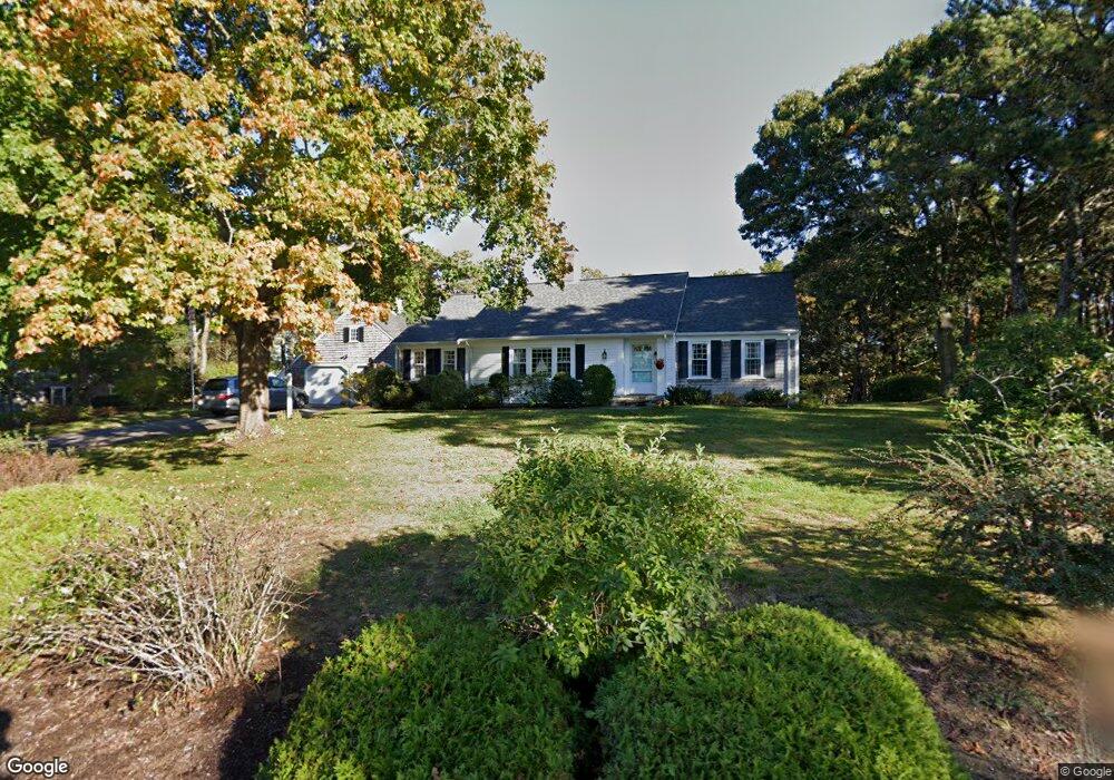
10 Dartmoor Way Yarmouth Port, MA 02675
Yarmouth Port NeighborhoodEstimated Value: $845,000 - $1,280,000
3
Beds
2
Baths
1,801
Sq Ft
$608/Sq Ft
Est. Value
About This Home
This home is located at 10 Dartmoor Way, Yarmouth Port, MA 02675 and is currently estimated at $1,094,126, approximately $607 per square foot. 10 Dartmoor Way is a home located in Barnstable County with nearby schools including Dennis-Yarmouth Regional High School and Trinity Christian Academy of Cape Cod.
Ownership History
Date
Name
Owned For
Owner Type
Purchase Details
Closed on
Oct 20, 2015
Sold by
Brogan Janet E
Bought by
Your Vacation Home T
Current Estimated Value
Purchase Details
Closed on
Jul 18, 1997
Sold by
Higginbottom Alice J
Bought by
Brogan William T and Brogan Janet E
Create a Home Valuation Report for This Property
The Home Valuation Report is an in-depth analysis detailing your home's value as well as a comparison with similar homes in the area
Home Values in the Area
Average Home Value in this Area
Purchase History
| Date | Buyer | Sale Price | Title Company |
|---|---|---|---|
| Your Vacation Home T | -- | -- | |
| Brogan William T | $230,000 | -- |
Source: Public Records
Mortgage History
| Date | Status | Borrower | Loan Amount |
|---|---|---|---|
| Previous Owner | Brogan William T | $125,000 |
Source: Public Records
Tax History Compared to Growth
Tax History
| Year | Tax Paid | Tax Assessment Tax Assessment Total Assessment is a certain percentage of the fair market value that is determined by local assessors to be the total taxable value of land and additions on the property. | Land | Improvement |
|---|---|---|---|---|
| 2025 | $6,897 | $974,200 | $252,900 | $721,300 |
| 2024 | $6,397 | $866,800 | $219,900 | $646,900 |
| 2023 | $6,462 | $796,800 | $207,300 | $589,500 |
| 2022 | $6,786 | $739,200 | $235,400 | $503,800 |
| 2021 | $6,555 | $685,700 | $224,600 | $461,100 |
| 2020 | $6,295 | $629,500 | $224,300 | $405,200 |
| 2019 | $5,860 | $580,200 | $224,300 | $355,900 |
| 2018 | $5,868 | $570,300 | $214,400 | $355,900 |
| 2017 | $5,714 | $570,300 | $214,400 | $355,900 |
| 2016 | $5,692 | $570,300 | $214,400 | $355,900 |
| 2015 | $5,549 | $552,700 | $214,400 | $338,300 |
Source: Public Records
Map
Nearby Homes
- 23 Dauphine Dr
- 2 Pine Grove
- 30 W Woods Cir Unit 30
- 30 W Woods
- 25 Oak Glen
- 25 Oak Glen Village Unit 25
- 24 Minnetuxet Way
- 28 Oak Glen
- 158 Kates Path
- 21 Boxwood Cir
- 17 Kates Path Unit A
- 228 Kates Path
- 371 Route 6a
- 19 John Hall Cartway Unit E
- 19 John Halls Cartpath Village Unit E
- 50 John Hall Cartway
- 50 John Hall Cartway Unit 50
- 43 Canterbury Rd
- 42 John Hall Cartway Unit 42
- 64 Kates Path
- 61 Lookout Rd
- 20 Dartmoor Way
- 29 Lookout Rd
- 45 Lookout Rd
- 9 Dartmoor Way
- 0 Lookout Rd
- 58 Lookout Rd
- 58 Lookout Rd Unit Lookout Road
- 52 Lookout Rd
- 17 Dartmoor Way
- 1 Dartmoor Way
- 46 Lookout Rd
- 28 Dartmoor Way
- 36 Homers Dock Rd
- 71 Lookout Rd
- 66 Lookout Rd
- 0 Dartmoor Way
- 25 Dartmoor Way
- 5 Lookout Rd
- 44 Homer's Dock Rd