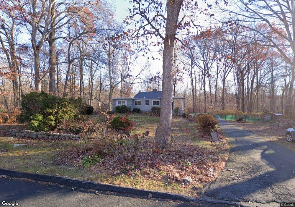
10 Dean Rd East Lyme, CT 06333
Estimated Value: $381,000 - $489,000
3
Beds
1
Bath
1,460
Sq Ft
$294/Sq Ft
Est. Value
About This Home
This home is located at 10 Dean Rd, East Lyme, CT 06333 and is currently estimated at $429,422, approximately $294 per square foot. 10 Dean Rd is a home located in New London County with nearby schools including East Lyme Middle School, East Lyme High School, and Carelot Children's Center - East Lyme.
Ownership History
Date
Name
Owned For
Owner Type
Purchase Details
Closed on
May 6, 2021
Sold by
Mcloughlin Amy
Bought by
Mcloughlin Amy and Dockum John C
Current Estimated Value
Home Financials for this Owner
Home Financials are based on the most recent Mortgage that was taken out on this home.
Original Mortgage
$213,000
Outstanding Balance
$193,031
Interest Rate
3.1%
Mortgage Type
Balloon
Estimated Equity
$236,391
Purchase Details
Closed on
Nov 19, 2018
Sold by
Kosztala Eileen
Bought by
Mcloughlin Amy
Home Financials for this Owner
Home Financials are based on the most recent Mortgage that was taken out on this home.
Original Mortgage
$196,377
Interest Rate
4.7%
Mortgage Type
FHA
Create a Home Valuation Report for This Property
The Home Valuation Report is an in-depth analysis detailing your home's value as well as a comparison with similar homes in the area
Home Values in the Area
Average Home Value in this Area
Purchase History
| Date | Buyer | Sale Price | Title Company |
|---|---|---|---|
| Mcloughlin Amy | -- | None Available | |
| Mcloughlin Amy | -- | None Available | |
| Mcloughlin Amy | $33,333 | -- | |
| Mcloughlin Amy | $166,666 | -- | |
| Mcloughlin Amy | $166,666 | -- |
Source: Public Records
Mortgage History
| Date | Status | Borrower | Loan Amount |
|---|---|---|---|
| Open | Mcloughlin Amy | $213,000 | |
| Previous Owner | Mcloughlin Amy | $196,377 |
Source: Public Records
Tax History Compared to Growth
Tax History
| Year | Tax Paid | Tax Assessment Tax Assessment Total Assessment is a certain percentage of the fair market value that is determined by local assessors to be the total taxable value of land and additions on the property. | Land | Improvement |
|---|---|---|---|---|
| 2025 | $5,719 | $204,190 | $100,520 | $103,670 |
| 2024 | $5,380 | $204,190 | $100,520 | $103,670 |
| 2023 | $5,080 | $204,190 | $100,520 | $103,670 |
| 2022 | $4,868 | $204,190 | $100,520 | $103,670 |
| 2021 | $4,666 | $163,660 | $95,480 | $68,180 |
| 2020 | $4,641 | $163,660 | $95,480 | $68,180 |
| 2019 | $4,614 | $163,660 | $95,480 | $68,180 |
| 2018 | $4,476 | $163,660 | $95,480 | $68,180 |
| 2017 | $4,281 | $163,660 | $95,480 | $68,180 |
| 2016 | $3,975 | $156,730 | $90,440 | $66,290 |
| 2015 | $3,873 | $156,730 | $90,440 | $66,290 |
| 2014 | $3,766 | $156,730 | $90,440 | $66,290 |
Source: Public Records
Map
Nearby Homes
- 6 Marion Dr
- 270 N Bride Brook Rd
- 52 Lovers Ln
- 4 Pumpkin Grove
- 6 Pumpkin Grove
- 25 Marion Dr
- 11 Pumpkin Grove
- 14 Pumpkin Grove
- 20 Sunrise Trail
- 13 Willow Ln
- 33 Arbor Crossing
- 223 N Bride Brook Rd
- 29 Legendary Rd
- 28 Alexander Dr
- 496 Boston Post Rd
- 231 Boston Post Rd Unit 9
- 32 Upper Pattagansett Rd Unit 8
- 1 Hathaway Rd
- 287 Boston Post Rd
- 138 Boston Post Rd Unit 10