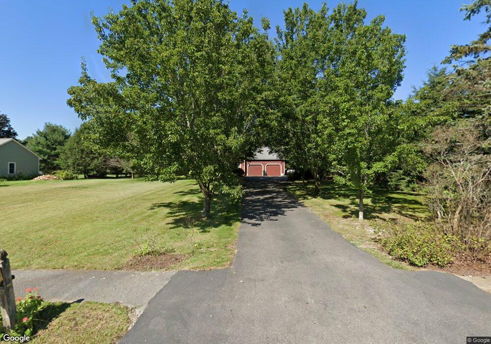
10 Deer Run Rd Wrentham, MA 02093
Estimated Value: $784,000 - $907,000
4
Beds
3
Baths
2,027
Sq Ft
$413/Sq Ft
Est. Value
About This Home
This home is located at 10 Deer Run Rd, Wrentham, MA 02093 and is currently estimated at $836,693, approximately $412 per square foot. 10 Deer Run Rd is a home located in Norfolk County with nearby schools including Delaney Elementary School and Charles E Roderick.
Ownership History
Date
Name
Owned For
Owner Type
Purchase Details
Closed on
Jul 10, 1987
Sold by
In Oloughlin Constn
Bought by
Thompson David R
Current Estimated Value
Home Financials for this Owner
Home Financials are based on the most recent Mortgage that was taken out on this home.
Original Mortgage
$120,000
Interest Rate
10.71%
Mortgage Type
Purchase Money Mortgage
Create a Home Valuation Report for This Property
The Home Valuation Report is an in-depth analysis detailing your home's value as well as a comparison with similar homes in the area
Home Values in the Area
Average Home Value in this Area
Purchase History
| Date | Buyer | Sale Price | Title Company |
|---|---|---|---|
| Thompson David R | $236,000 | -- |
Source: Public Records
Mortgage History
| Date | Status | Borrower | Loan Amount |
|---|---|---|---|
| Closed | Thompson David R | $120,000 |
Source: Public Records
Tax History Compared to Growth
Tax History
| Year | Tax Paid | Tax Assessment Tax Assessment Total Assessment is a certain percentage of the fair market value that is determined by local assessors to be the total taxable value of land and additions on the property. | Land | Improvement |
|---|---|---|---|---|
| 2025 | $8,052 | $694,700 | $302,300 | $392,400 |
| 2024 | $7,742 | $645,200 | $302,300 | $342,900 |
| 2023 | $7,568 | $599,700 | $274,700 | $325,000 |
| 2022 | $7,255 | $530,700 | $256,200 | $274,500 |
| 2021 | $6,704 | $476,500 | $223,600 | $252,900 |
| 2020 | $6,733 | $472,500 | $198,800 | $273,700 |
| 2019 | $6,498 | $460,200 | $198,800 | $261,400 |
| 2018 | $6,380 | $448,000 | $199,100 | $248,900 |
| 2017 | $6,212 | $435,900 | $195,200 | $240,700 |
| 2016 | $6,080 | $425,800 | $189,600 | $236,200 |
| 2015 | $6,107 | $407,700 | $182,300 | $225,400 |
| 2014 | $6,008 | $392,400 | $175,300 | $217,100 |
Source: Public Records
Map
Nearby Homes
- 131 Creek St Unit 7
- 11 Earle Stewart Ln
- Lot 3 - 14 Earle Stewart Ln
- Lot 1 - Blueberry 2 Car Plan at King Philip Estates
- Lot 8 - Blueberry 2 Car Plan at King Philip Estates
- Lot 5 - Hughes 2 car Plan at King Philip Estates
- Lot 6 - Blueberry 3 Car Plan at King Philip Estates
- Lot 2 - Camden 2 Car Plan at King Philip Estates
- Lot 7 - Cedar Plan at King Philip Estates
- Lot 4 - Hemingway 2 Car Plan at King Philip Estates
- Lot 3 - Blueberry 2 Car Plan at King Philip Estates
- 10 Nature View Dr
- 15 Nature View Dr
- 319 Taunton St
- 570 Franklin St
- 791 South St Unit 5
- 270 Dedham St
- 1 Lorraine Metcalf Dr
- 362 East St
- 50 Reed Fulton Ave Unit Lot 61
- 20 Deer Run Rd
- 45 Creek St
- 39 Creek St
- 30 Deer Run Rd
- 35 Creek St
- 58 Creek St
- 40 Deer Run Rd
- 15 Deer Run Rd
- 68 Creek St
- 25 Deer Run Rd
- 31 Creek St
- 15 Robert Topham Dr
- 25 Robert Topham Dr
- 54 Creek St
- 35 Robert Topham Dr
- 50 Deer Run Rd
- 5 Robert Topham Dr
- 29 Creek St
- 35 Robert Topham Jr Dr
- 45 Deer Run Rd