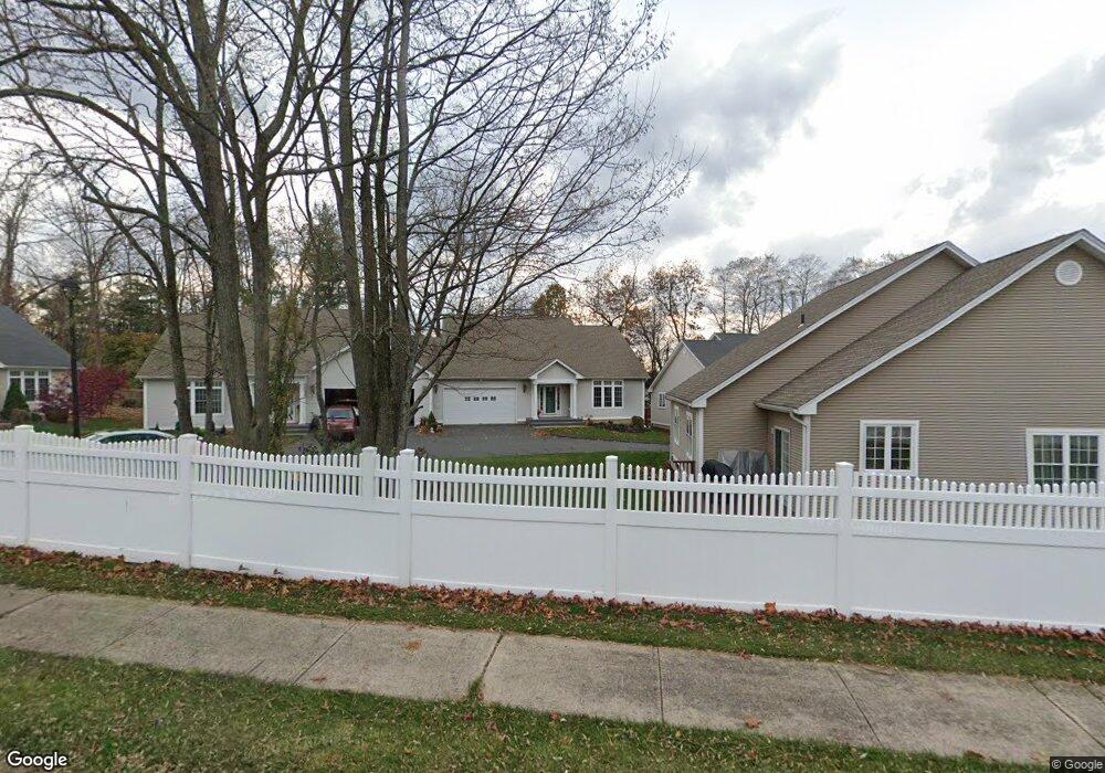
10 Dobson Commons Cir Unit 10 Vernon Rockville, CT 06066
North Vernon NeighborhoodEstimated Value: $371,000 - $434,000
2
Beds
2
Baths
1,584
Sq Ft
$245/Sq Ft
Est. Value
About This Home
This home is located at 10 Dobson Commons Cir Unit 10, Vernon Rockville, CT 06066 and is currently estimated at $387,930, approximately $244 per square foot. 10 Dobson Commons Cir Unit 10 is a home located in Tolland County with nearby schools including Center Road School, Vernon Center Middle School, and Rockville High School.
Ownership History
Date
Name
Owned For
Owner Type
Purchase Details
Closed on
Aug 28, 2023
Sold by
Vivero Margo L and Mccullough Lori
Bought by
Duffy Miriam
Current Estimated Value
Purchase Details
Closed on
Jul 24, 2023
Sold by
Duffy Miriam
Bought by
Vivero Margo L and Mccullough Lori
Purchase Details
Closed on
May 23, 2011
Sold by
Rankin Robert W
Bought by
Duffy Miriam
Home Financials for this Owner
Home Financials are based on the most recent Mortgage that was taken out on this home.
Original Mortgage
$100,000
Interest Rate
4.88%
Mortgage Type
Purchase Money Mortgage
Purchase Details
Closed on
Aug 18, 2005
Sold by
Kjd Dev Llc
Bought by
Rankin Robert
Home Financials for this Owner
Home Financials are based on the most recent Mortgage that was taken out on this home.
Original Mortgage
$199,000
Interest Rate
5.66%
Mortgage Type
Purchase Money Mortgage
Create a Home Valuation Report for This Property
The Home Valuation Report is an in-depth analysis detailing your home's value as well as a comparison with similar homes in the area
Home Values in the Area
Average Home Value in this Area
Purchase History
| Date | Buyer | Sale Price | Title Company |
|---|---|---|---|
| Duffy Miriam | -- | None Available | |
| Vivero Margo L | -- | None Available | |
| Duffy Miriam | $196,000 | -- | |
| Rankin Robert | $249,900 | -- |
Source: Public Records
Mortgage History
| Date | Status | Borrower | Loan Amount |
|---|---|---|---|
| Previous Owner | Rankin Robert | $60,000 | |
| Previous Owner | Rankin Robert | $100,000 | |
| Previous Owner | Rankin Robert | $199,000 |
Source: Public Records
Tax History Compared to Growth
Tax History
| Year | Tax Paid | Tax Assessment Tax Assessment Total Assessment is a certain percentage of the fair market value that is determined by local assessors to be the total taxable value of land and additions on the property. | Land | Improvement |
|---|---|---|---|---|
| 2025 | $5,325 | $147,560 | $0 | $147,560 |
| 2024 | $5,178 | $147,560 | $0 | $147,560 |
| 2023 | $4,927 | $147,560 | $0 | $147,560 |
| 2022 | $4,927 | $147,560 | $0 | $147,560 |
| 2021 | $5,250 | $132,470 | $0 | $132,470 |
| 2020 | $5,250 | $132,470 | $0 | $132,470 |
| 2019 | $5,250 | $132,470 | $0 | $132,470 |
| 2018 | $5,250 | $132,470 | $0 | $132,470 |
| 2017 | $5,128 | $132,470 | $0 | $132,470 |
| 2016 | $5,166 | $135,830 | $0 | $135,830 |
| 2015 | $5,013 | $135,830 | $0 | $135,830 |
| 2014 | $4,905 | $135,830 | $0 | $135,830 |
Source: Public Records
Map
Nearby Homes
- 101 Riverside Dr
- 242 Talcottville Rd Unit 105
- 69 Merline Rd
- 325 Kelly Rd Unit L5
- 32 Church St
- 15 Ahern Dr
- 16 Irene Dr
- 6 Elizabeth Ln Unit 3
- 441 Millstream Dr Unit 441
- 5 Allison Rd
- 40 Vista View Ln Unit 40
- 343 Merline Rd
- 38 Winding Brook Trail
- 989 Hartford Turnpike
- 4 Susan Rd
- 171 Center Rd
- 77 Center Rd
- 20 Whitney Ferguson Rd Unit 18
- 155 Pine Tree Ln
- 39 W Vernon St
- 10 Dobson Commons Cir
- 11 Dobson Commons Cir
- 9 Dobson Commons Cir
- 13 Dobson Commons Cir
- 13 Dobson Commons Cir Unit 13
- 8 Dobson Commons Cir
- 12 Dobson Commons Cir
- 2 Dobson Rd
- 6 Dobson Rd
- 5 Dobson Rd
- 4 Dobson Rd
- 14 Dobson Commons Cir
- 7 Dobson Commons Cir
- 6 Dobson Commons Cir
- 35 Old Dobson Rd
- 15 Dobson Commons Cir
- 46 Dobson Rd
- 5 Dobson Commons Cir
- 5 Dobson Commons Cir Unit 5
- 28 Old Dobson Rd