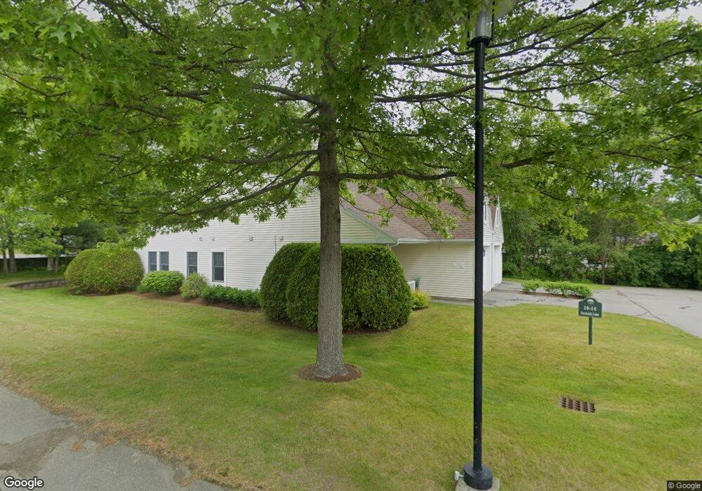
10 Dockside Ln Unit 10 Belfast, ME 04915
Estimated Value: $424,960 - $528,000
2
Beds
2
Baths
1,156
Sq Ft
$406/Sq Ft
Est. Value
About This Home
This home is located at 10 Dockside Ln Unit 10, Belfast, ME 04915 and is currently estimated at $469,740, approximately $406 per square foot. 10 Dockside Ln Unit 10 is a home located in Waldo County with nearby schools including Cornerspring Children's House and The School At Sweetser - Belfast.
Ownership History
Date
Name
Owned For
Owner Type
Purchase Details
Closed on
Apr 25, 2016
Sold by
Boguslawski Walter J and Bogulawski Suzanne P
Bought by
Desilva John M and Desilva Janet M
Current Estimated Value
Purchase Details
Closed on
Oct 18, 2012
Sold by
Babbitt Ann G and Babbitt John A
Bought by
Boguslawski Walter J and Boguslawski Suzanne P
Home Financials for this Owner
Home Financials are based on the most recent Mortgage that was taken out on this home.
Original Mortgage
$108,000
Interest Rate
3.57%
Mortgage Type
Commercial
Purchase Details
Closed on
Mar 7, 2005
Sold by
Grossman Charles R
Bought by
Babbitt Ann G and Babbitt John A
Home Financials for this Owner
Home Financials are based on the most recent Mortgage that was taken out on this home.
Original Mortgage
$150,750
Interest Rate
5%
Mortgage Type
Stand Alone Second
Create a Home Valuation Report for This Property
The Home Valuation Report is an in-depth analysis detailing your home's value as well as a comparison with similar homes in the area
Home Values in the Area
Average Home Value in this Area
Purchase History
| Date | Buyer | Sale Price | Title Company |
|---|---|---|---|
| Desilva John M | -- | -- | |
| Boguslawski Walter J | -- | -- | |
| Babbitt Ann G | -- | -- |
Source: Public Records
Mortgage History
| Date | Status | Borrower | Loan Amount |
|---|---|---|---|
| Previous Owner | Boguslawski Walter J | $108,000 | |
| Previous Owner | Babbitt Ann G | $150,750 |
Source: Public Records
Tax History
| Year | Tax Paid | Tax Assessment Tax Assessment Total Assessment is a certain percentage of the fair market value that is determined by local assessors to be the total taxable value of land and additions on the property. | Land | Improvement |
|---|---|---|---|---|
| 2025 | $5,691 | $348,300 | $100,000 | $248,300 |
| 2024 | $5,338 | $346,600 | $100,000 | $246,600 |
| 2023 | $3,534 | $175,800 | $35,000 | $140,800 |
| 2022 | $3,597 | $168,100 | $35,000 | $133,100 |
| 2021 | $3,698 | $168,100 | $35,000 | $133,100 |
| 2020 | $3,605 | $154,700 | $35,000 | $119,700 |
| 2019 | $3,511 | $153,300 | $35,000 | $118,300 |
| 2018 | $3,480 | $153,300 | $35,000 | $118,300 |
| 2017 | $3,357 | $153,300 | $35,000 | $118,300 |
| 2016 | $3,511 | $153,300 | $35,000 | $118,300 |
| 2015 | $3,434 | $153,300 | $35,000 | $118,300 |
| 2014 | $3,319 | $153,300 | $35,000 | $118,300 |
| 2013 | $3,501 | $168,300 | $50,000 | $118,300 |
Source: Public Records
Map
Nearby Homes
- 99 Dockside Ln Unit 99
- 192 Northport Ave
- 19 Glenview Ln
- 3 Kerry Gardens Unit 25
- 17 R W MacLeod Ln
- 11 Durham St
- 16 Cottage St
- 4 R W MacLeod Ln
- 41 Grove St
- 68 Park St
- 78 High St
- 27 Court St Unit 1
- 3 Porter Rd
- 5 Whitetail St
- 6 Whitetail St
- 9 James St
- 183 Main St
- 18 Waldo Ave
- 53 Lincolnville Ave
- 26 Old Searsport Ave
- 39 Dockside Ln
- 49 Dockside Ln
- 67 Dockside Ln
- 77 Dockside Ln
- 14 Dockside Ln
- 10 Dockside Ln
- 14 Dockside Ln Unit 16
- 67 Dockside Ln Unit 23
- 49 Dockside Ln Unit 27
- 10 Dockside Ln Unit 15
- 77 Dockside Ln Unit 18
- 120 Dockside Ln
- 122 Dockside Ln
- 107 Dockside Ln
- 107 Dockside Ln Unit 13
- 122 Dockside Ln Unit 7
- 120 Dockside Ln Unit 26
- 122 Dockside Ln Unit 17
- 120 Dockside Ln Unit L7
- 120 Dockside Ln Unit 120
Your Personal Tour Guide
Ask me questions while you tour the home.