10 Doe Dr Columbia, NJ 07832
Estimated Value: $460,208 - $551,000
--
Bed
--
Bath
1,805
Sq Ft
$275/Sq Ft
Est. Value
About This Home
This home is located at 10 Doe Dr, Columbia, NJ 07832 and is currently estimated at $497,052, approximately $275 per square foot. 10 Doe Dr is a home located in Warren County with nearby schools including Blairstown Elementary School and North Warren Regional School.
Ownership History
Date
Name
Owned For
Owner Type
Purchase Details
Closed on
Aug 19, 1999
Sold by
Nienstedt Robert and Nienstedt Marilyn
Bought by
Vandermay Ray E and Vandermay Sharon
Current Estimated Value
Home Financials for this Owner
Home Financials are based on the most recent Mortgage that was taken out on this home.
Original Mortgage
$120,000
Outstanding Balance
$32,387
Interest Rate
6.87%
Estimated Equity
$464,665
Create a Home Valuation Report for This Property
The Home Valuation Report is an in-depth analysis detailing your home's value as well as a comparison with similar homes in the area
Home Values in the Area
Average Home Value in this Area
Purchase History
| Date | Buyer | Sale Price | Title Company |
|---|---|---|---|
| Vandermay Ray E | $215,000 | -- |
Source: Public Records
Mortgage History
| Date | Status | Borrower | Loan Amount |
|---|---|---|---|
| Open | Vandermay Ray E | $120,000 |
Source: Public Records
Tax History Compared to Growth
Tax History
| Year | Tax Paid | Tax Assessment Tax Assessment Total Assessment is a certain percentage of the fair market value that is determined by local assessors to be the total taxable value of land and additions on the property. | Land | Improvement |
|---|---|---|---|---|
| 2025 | $8,621 | $278,000 | $123,300 | $154,700 |
| 2024 | $8,012 | $278,000 | $123,300 | $154,700 |
| 2023 | $7,848 | $278,000 | $123,300 | $154,700 |
| 2022 | $7,848 | $278,000 | $123,300 | $154,700 |
| 2021 | $7,120 | $278,000 | $123,300 | $154,700 |
| 2020 | $6,872 | $278,000 | $123,300 | $154,700 |
| 2019 | $6,394 | $278,000 | $123,300 | $154,700 |
| 2018 | $6,394 | $278,000 | $123,300 | $154,700 |
| 2017 | $6,416 | $278,000 | $123,300 | $154,700 |
| 2016 | $6,438 | $278,000 | $123,300 | $154,700 |
| 2015 | $6,327 | $278,000 | $123,300 | $154,700 |
| 2014 | $6,205 | $278,000 | $123,300 | $154,700 |
Source: Public Records
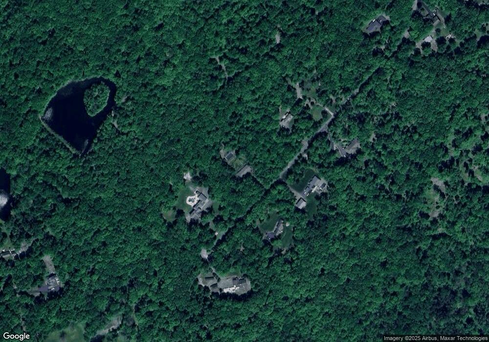
Map
Nearby Homes
- 0 Mount Vernon Rd
- 65 Walnut Valley Rd
- 94 Mount Vernon Rd
- 00 Walnut Valley Rd
- 6 Mountain Terrace
- 194 New Jersey 94
- 24 Stony Brook Rd
- 34 Stony Brook Rd
- 20 Polkville Rd
- 18 W Crisman Rd
- 0 Cedar Lake Rd Unit 3936605
- 20 Cobblewood Rd
- 7 Kishpaugh Rd
- 17 Bear Cave Rd
- 471 State Route 94
- 115 Route94
- 1 Four Corners Rd
- 470 State Route 94 Unit 2
- 49 Mount Pleasant Rd
- 69 Mount Pleasant Rd