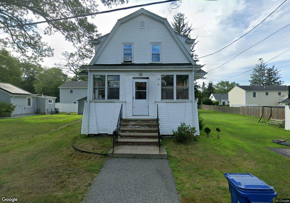
10 Doris Ave Warwick, RI 02889
Hoxie NeighborhoodEstimated Value: $356,000 - $551,000
4
Beds
2
Baths
1,728
Sq Ft
$259/Sq Ft
Est. Value
About This Home
This home is located at 10 Doris Ave, Warwick, RI 02889 and is currently estimated at $447,136, approximately $258 per square foot. 10 Doris Ave is a home located in Kent County with nearby schools including Saint Kevin School and Bishop Hendricken High School.
Ownership History
Date
Name
Owned For
Owner Type
Purchase Details
Closed on
Jul 19, 2013
Sold by
John G Shaheen Lt and Shaheen
Bought by
Shaheen Brian and Shaheen Sara
Current Estimated Value
Home Financials for this Owner
Home Financials are based on the most recent Mortgage that was taken out on this home.
Original Mortgage
$100,000
Outstanding Balance
$72,479
Interest Rate
3.92%
Mortgage Type
New Conventional
Estimated Equity
$374,657
Create a Home Valuation Report for This Property
The Home Valuation Report is an in-depth analysis detailing your home's value as well as a comparison with similar homes in the area
Home Values in the Area
Average Home Value in this Area
Purchase History
| Date | Buyer | Sale Price | Title Company |
|---|---|---|---|
| Shaheen Brian | $125,000 | -- |
Source: Public Records
Mortgage History
| Date | Status | Borrower | Loan Amount |
|---|---|---|---|
| Open | Shaheen Brian | $100,000 | |
| Previous Owner | Shaheen Brian | $50,000 |
Source: Public Records
Tax History Compared to Growth
Tax History
| Year | Tax Paid | Tax Assessment Tax Assessment Total Assessment is a certain percentage of the fair market value that is determined by local assessors to be the total taxable value of land and additions on the property. | Land | Improvement |
|---|---|---|---|---|
| 2025 | $4,896 | $385,500 | $104,500 | $281,000 |
| 2024 | $4,588 | $317,100 | $90,900 | $226,200 |
| 2023 | $4,500 | $317,100 | $90,900 | $226,200 |
| 2022 | $4,098 | $218,800 | $62,900 | $155,900 |
| 2021 | $4,098 | $218,800 | $62,900 | $155,900 |
| 2020 | $4,098 | $218,800 | $62,900 | $155,900 |
| 2019 | $4,098 | $218,800 | $62,900 | $155,900 |
| 2018 | $3,309 | $159,100 | $62,900 | $96,200 |
| 2017 | $3,220 | $159,100 | $62,900 | $96,200 |
| 2016 | $3,220 | $159,100 | $62,900 | $96,200 |
| 2015 | $2,872 | $138,400 | $55,400 | $83,000 |
| 2014 | $2,776 | $138,400 | $55,400 | $83,000 |
| 2013 | $2,739 | $138,400 | $55,400 | $83,000 |
Source: Public Records
Map
Nearby Homes
- 26 Dallas Ave
- 41 Dayton Ave
- 107 Glenwood Dr
- 72 W Shore Rd Unit 2
- 72 W Shore Rd Unit 3
- 72 W Shore Rd Unit 104
- 107 Wayne St
- 33 Recess Ln
- 101 Omaha Blvd
- 52 Recess Ln
- 49 Patience Ct
- 46 Royland Rd
- 43 Esquire Ave
- 63 Ramblewood Dr
- 5 Shippen Ave
- 111 Aster St
- 54 Ansonia Rd
- 73 Eton Ave
- 600 Cole Farm Rd
- 401 Lake Shore Dr