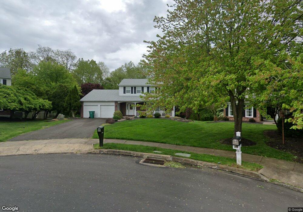
10 Dove Cir Fairless Hills, PA 19030
Estimated Value: $464,000 - $537,000
3
Beds
3
Baths
1,900
Sq Ft
$261/Sq Ft
Est. Value
About This Home
This home is located at 10 Dove Cir, Fairless Hills, PA 19030 and is currently estimated at $495,754, approximately $260 per square foot. 10 Dove Cir is a home located in Bucks County with nearby schools including Truman Senior High School, Faith Baptist Christian Academy, and The Pen Ryn School.
Ownership History
Date
Name
Owned For
Owner Type
Purchase Details
Closed on
Jul 31, 1998
Sold by
Hawley William D and Hawley Margaret M
Bought by
Little John C and Little Bonnie L
Current Estimated Value
Home Financials for this Owner
Home Financials are based on the most recent Mortgage that was taken out on this home.
Original Mortgage
$157,225
Outstanding Balance
$32,316
Interest Rate
6.75%
Estimated Equity
$463,438
Purchase Details
Closed on
Dec 8, 1988
Bought by
Hawley William D and Hawley Margaret M
Create a Home Valuation Report for This Property
The Home Valuation Report is an in-depth analysis detailing your home's value as well as a comparison with similar homes in the area
Home Values in the Area
Average Home Value in this Area
Purchase History
| Date | Buyer | Sale Price | Title Company |
|---|---|---|---|
| Little John C | $165,500 | T A Title Insurance Company | |
| Hawley William D | $155,800 | -- |
Source: Public Records
Mortgage History
| Date | Status | Borrower | Loan Amount |
|---|---|---|---|
| Open | Little John C | $157,225 |
Source: Public Records
Tax History Compared to Growth
Tax History
| Year | Tax Paid | Tax Assessment Tax Assessment Total Assessment is a certain percentage of the fair market value that is determined by local assessors to be the total taxable value of land and additions on the property. | Land | Improvement |
|---|---|---|---|---|
| 2025 | $7,615 | $28,040 | $5,520 | $22,520 |
| 2024 | $7,615 | $28,040 | $5,520 | $22,520 |
| 2023 | $7,559 | $28,040 | $5,520 | $22,520 |
| 2022 | $7,559 | $28,040 | $5,520 | $22,520 |
| 2021 | $7,559 | $28,040 | $5,520 | $22,520 |
| 2020 | $7,559 | $28,040 | $5,520 | $22,520 |
| 2019 | $7,531 | $28,040 | $5,520 | $22,520 |
| 2018 | $7,410 | $28,040 | $5,520 | $22,520 |
| 2017 | $7,297 | $28,040 | $5,520 | $22,520 |
| 2016 | $7,297 | $28,040 | $5,520 | $22,520 |
| 2015 | $5,385 | $28,040 | $5,520 | $22,520 |
| 2014 | $5,385 | $28,040 | $5,520 | $22,520 |
Source: Public Records
Map
Nearby Homes
- 402 Stanford Rd
- 225 Yorkshire Rd Unit HIII
- 243 Wyandotte Rd
- 657 S Queen Anne Dr
- 14 Cinnamon Rd
- 46 Quill Rd
- 208 Suffolk Rd
- 31 Quail Rd
- 53 Crestwood Rd
- 125 Nursery Ave
- 114 Nursery Ave
- 47 Cotton Rd
- 23 Crystal Place
- 65 Candle Rd
- 14 Appletree Dr
- 20 Appletree Dr
- 212 Apple St
- 525 Nel Dr
- 340 Appletree Dr
- 28 Rainbow Ln